Mark West Creek
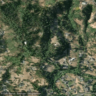
Mark West Creek
- Boat Ramps
- 1
- Access Points
- 1
- Campsites
- 3
Mark West Creek is a significant waterway in Sonoma County, California, originating in the Mayacamas Mountains and flowing westward for approximately 29.9 miles before joining the Laguna de Santa Rosa, which ultimately feeds into the Russian River. This creek drains a substantial portion of Sonoma County, spanning from Mount Saint Helena and Sonoma Mountain in the east to Forestville in the west.
For whitewater enthusiasts, Mark West Creek offers an exhilarating 4-mile run near Santa Rosa, known as the Mark West Resort to Santa Rosa section. This stretch presents Class IV rapids, with potential Class V conditions when flows exceed 1,000 cubic feet per second (cfs). The run features a moderate gradient of about 60 feet per mile, providing a diverse array of technical rapids and challenges.
Paddlers should be highly skilled, as the creek's difficulty demands experience in reading water and maneuvering through complex rapids. The ideal flow range for kayaks is between 400 and 2,000 cfs, while inflatable kayaks require a minimum of 300 cfs. Due to its rain-fed nature, Mark West Creek is primarily a winter run, typically accessible from late fall through early spring during and after significant rainfall events.
The put-in for this popular section is located near Mark West Resort, while the take-out is situated above Quietwater Drive. Paddlers should be aware of a chronic logjam zone near the take-out, which requires careful navigation. The shuttle route is approximately 3 miles long.
Access to Mark West Creek can be challenging, as much of it flows through private land. Paddlers should respect property rights and be prepared for limited parking options, especially at the take-out where a private road may restrict access.
For those considering a trip, Mark West Creek is particularly appealing to paddlers based in San Rafael or near San Jose. However, given its relatively short length and seasonal nature, it may not justify a long journey from more distant locations like San Diego.
Safety considerations are paramount on Mark West Creek. Paddlers should be prepared for rapid changes in water levels, potential strainers, and the aforementioned logjam hazards. Additionally, as the creek runs through a semi-rural area, emergency services may have limited access points.
While multi-day trips are not typical on Mark West Creek itself, its connection to the larger Russian River system offers possibilities for extended paddling adventures for those wishing to explore beyond this challenging tributary.
Water access, boat ramps & amenities
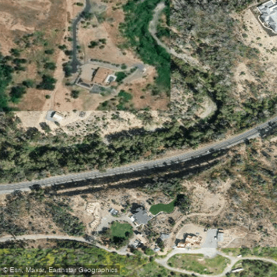
Learn how to get on Mark West Creek. Uncover great paddling access points, boat ramps, and all the facilities you need for an unforgettable day on the water. Some locations shown may border or include private property. Always check property boundaries and applicable regulations before visiting. PaddleWays's Public & Private Land layer can help you plan your access with confidence.
Paddle smarter with real-time insights
Whether you're en route and conditions shift or you're looking for the best spot based on current flows, we enable you to make informed decisions on the fly.








Find Places to Paddle

Over 400,000 Places to Paddle
Every user gets free access to launch points, boat ramps, and public property parcels.


Water and weather conditions (10 day forecast)
See the best times to paddle Mark West Creek and check the forecast before you go.
MARK WEST C NR MIRABEL HEIGHTS CA
Paddling near Mark West Creek
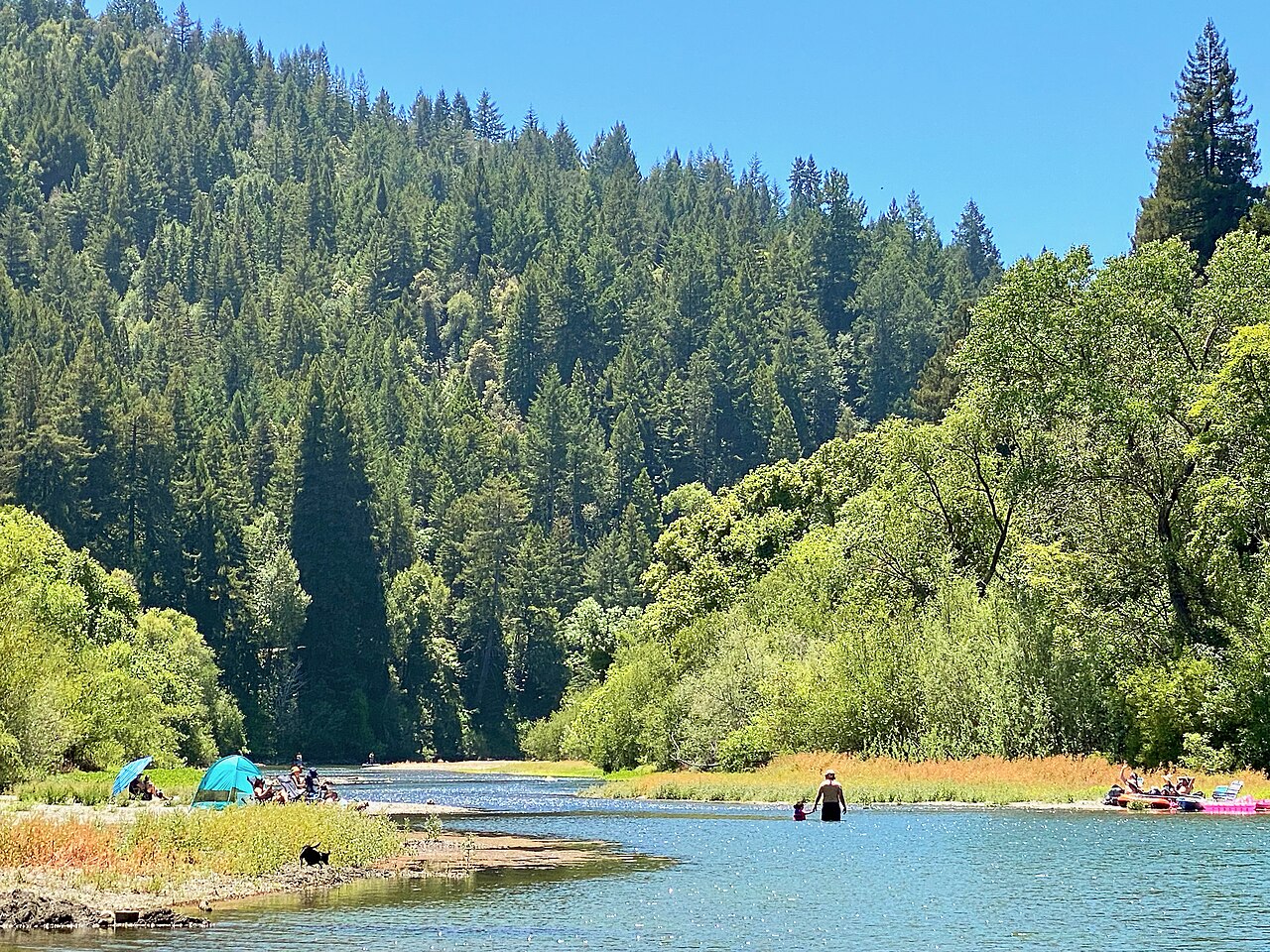
Russian River
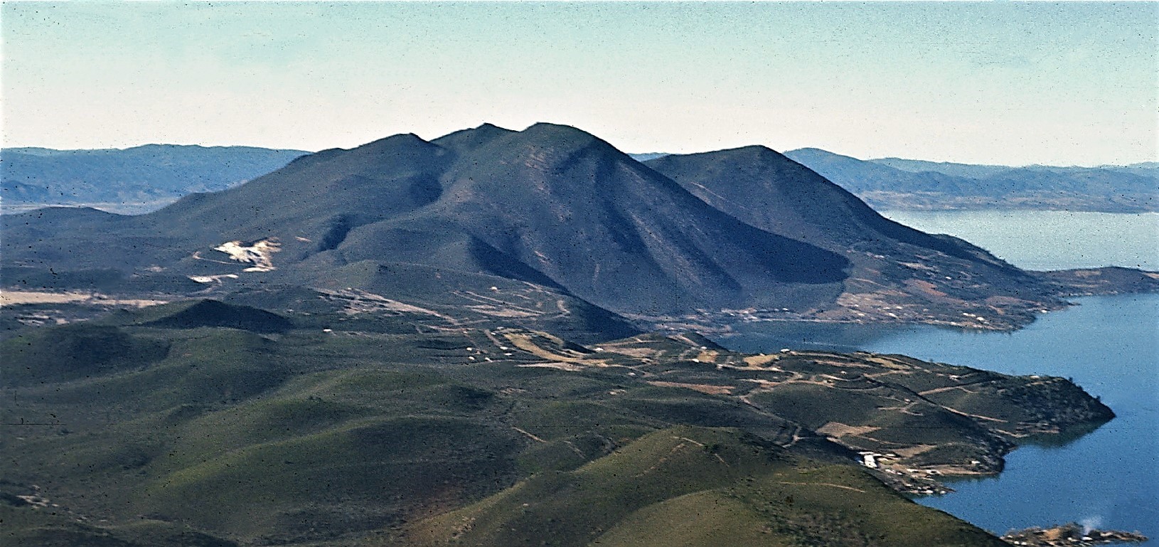
Clear Lake
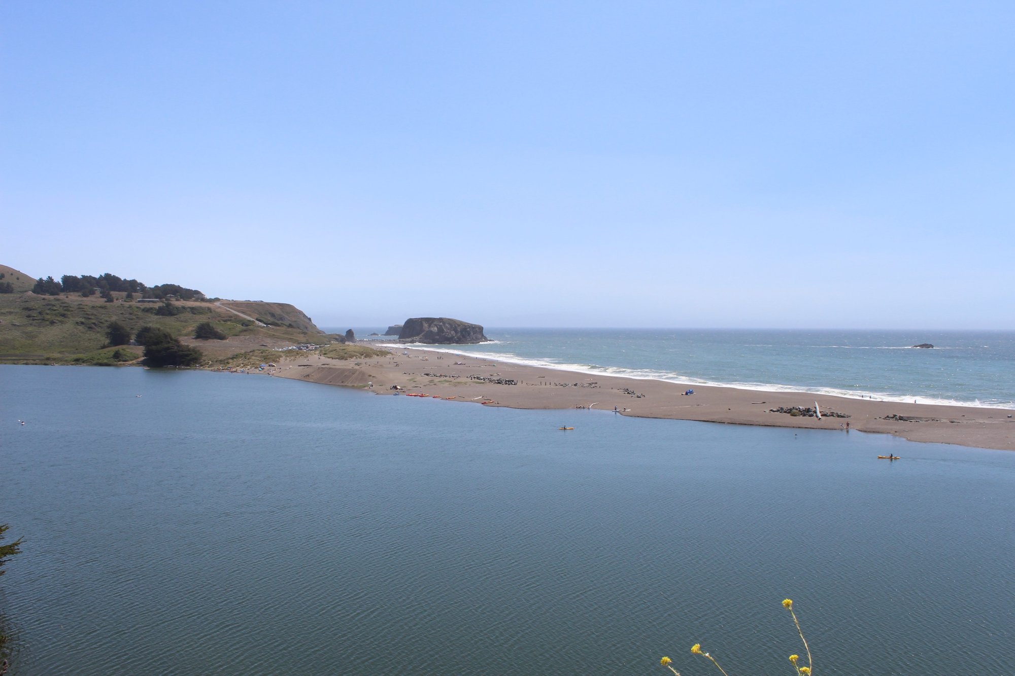
Bodega Bay
Lake Sonoma
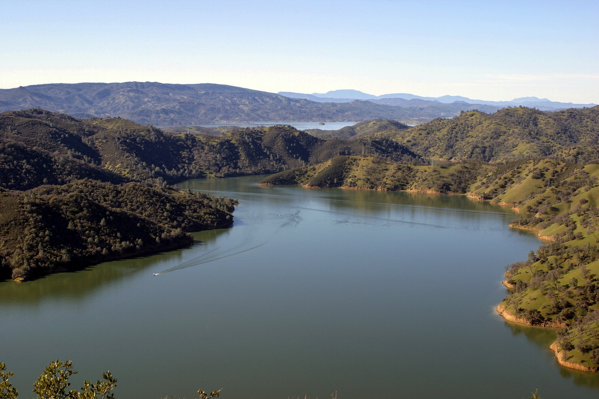
Lake Berryessa
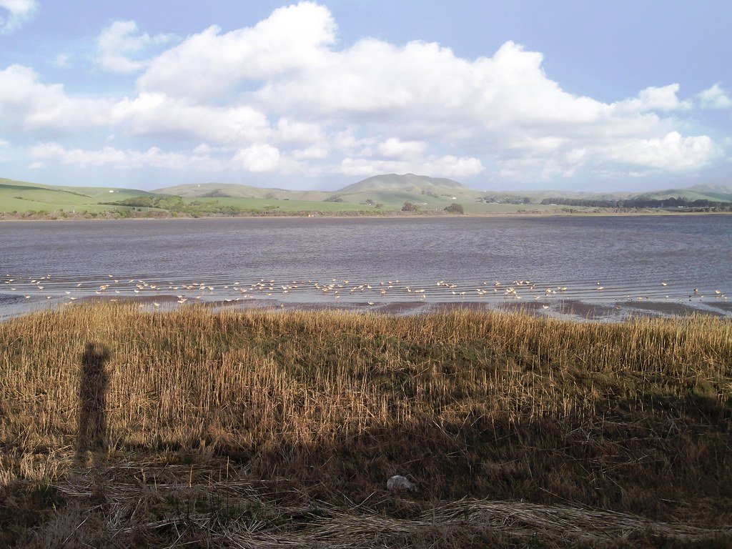
Tomales Bay
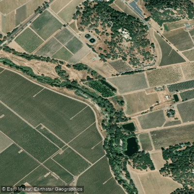
Napa River

San Pablo Bay
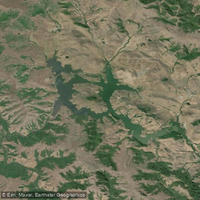
Nicasio Reservoir
Explore California waters
Top paddling waters
Popular Cities
Loading popular cities...
Explore near Mark West Creek
Access points
- End of Mark West Creek Kayaking Run Boat Ramp
- Mark West Creek Bridge
- Mark West Creek Bridge
- Mark West Creek Bridge
- Mark West Creek Bridge
- Mark West Creek Trenton Rood Bridge
- Mark West Creek Bridge
- Mark West Creek Bridge
- Van Buren Creek Bridge
- Weeks Creek Bridge
- Windsor Creek Bridge
- Laguna De Santa Rosa Bridge
- All 77 spots
Nearby waters
More in California

Smarter Paddling Starts in the App.
Paddleways gives you everything you need to plan smarter, paddle better, and own every trip from first launch to takeout.