Coyote Creek
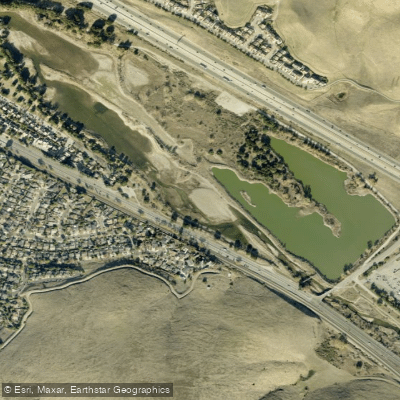
Coyote Creek
- Boat Ramps
- 0
- Access Points
- 3
- Campsites
- 25
Coyote Creek originates in the Diablo Range of Santa Clara County, California, flowing northward for approximately 63 miles before emptying into San Francisco Bay. Its headwaters begin in Henry W. Coe State Park at an elevation of about 3,000 feet. The creek's watershed covers 320 square miles, encompassing parts of Morgan Hill, San Jose, and Milpitas.
Paddling opportunities on Coyote Creek range from challenging whitewater runs to tranquil urban floats. The upper section from Henry Coe State Park to Coyote Reservoir offers a 12-mile Class III whitewater experience with potential logjam portages. Downstream, a 4.9-mile Class II section from Gilroy Hot Springs Road to Coyote Reservoir provides a more moderate trip. In San Jose, a unique 3-4 mile urban paddle through downtown offers Class I flatwater with glimpses of city life and nature.
The creek's difficulty varies significantly, from Class III rapids requiring solid whitewater skills to flatwater suitable for beginners. Upper sections are best paddled in winter following rainfall, while lower urban sections can be enjoyed year-round except after heavy rains.
Coyote Creek supports diverse ecosystems, including riparian forests, freshwater marshes, and tidal wetlands. Wildlife spotting opportunities include steelhead trout, Chinook salmon, and various bird species.
The creek passes through several parks, including Henry Coe State Park and Hellyer County Park. Key access points include Poverty Flat in Henry Coe State Park, Gilroy Hot Springs Road, and Selma Olinder Park in San Jose. The creek's lower reaches form part of the Don Edwards San Francisco Bay National Wildlife Refuge, offering unique paddling experiences influenced by tidal patterns.
Historically, Coyote Creek played a crucial role in the agricultural development of the Santa Clara Valley. Today, it serves as an important recreational resource and wildlife corridor in the heavily urbanized South Bay area.
Safety considerations include checking water levels, being aware of potential logjams in upper sections, and understanding tidal influences in lower reaches. Paddlers should also be mindful of urban hazards like low bridges and possible water quality issues in developed areas.
For those seeking a multi-day adventure, combining the upper whitewater sections with the more relaxed lower reaches can provide a diverse paddling experience showcasing the varied landscapes of Santa Clara County.
Water access, boat ramps & amenities
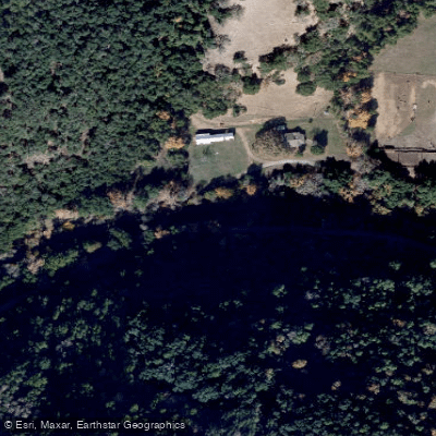
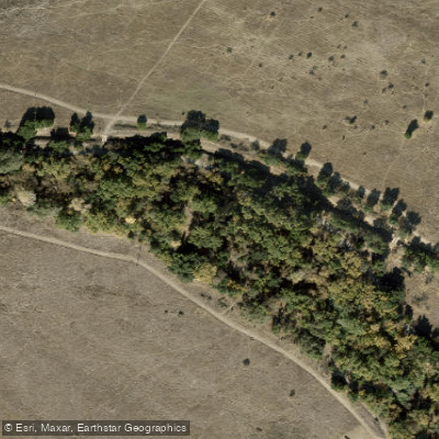
Learn how to get on Coyote Creek. Uncover great paddling access points, boat ramps, and all the facilities you need for an unforgettable day on the water. Some locations shown may border or include private property. Always check property boundaries and applicable regulations before visiting. PaddleWays's Public & Private Land layer can help you plan your access with confidence.
Paddle smarter with real-time insights
Whether you're en route and conditions shift or you're looking for the best spot based on current flows, we enable you to make informed decisions on the fly.








Find Places to Paddle

Over 400,000 Places to Paddle
Every user gets free access to launch points, boat ramps, and public property parcels.


Water and weather conditions (10 day forecast)
See the best times to paddle Coyote Creek and check the forecast before you go.
COYOTE C NR GILROY CA
All Flow Stations
Paddling near Coyote Creek

San Joaquin River

Stanislaus River

San Francisco Bay

Tuolumne River

Merced River
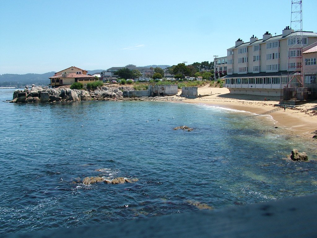
Monterey Bay
Anderson Lake
Calaveras Reservoir
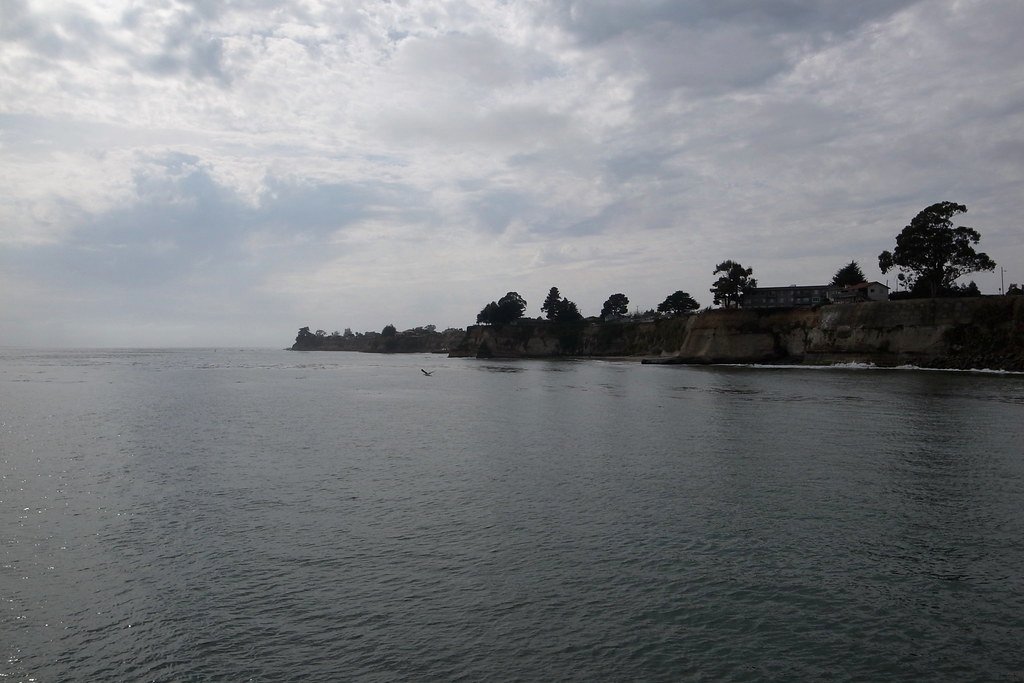
Soquel Cove
Explore California waters
Top paddling waters
Popular Cities
Loading popular cities...
Explore near Coyote Creek
Access points
Nearby waters
More in California

Smarter Paddling Starts in the App.
Paddleways gives you everything you need to plan smarter, paddle better, and own every trip from first launch to takeout.