Devereux Beach
- Saltwater
- Beach
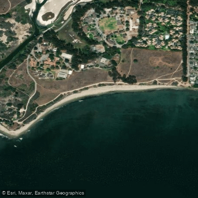
Devereux Beach
- Saltwater
- Beach
- Sq. miles
- 0
- Boat Ramps
- 0
- Access Points
- 0
- Campsites
- 0
Devereux Beach is a public beach launch point located on Ocean Avenue at the causeway connecting Marblehead to Marblehead Neck. The beach is technically divided by a parking lot into two distinct sections: a north-facing harbor side and a south-facing Atlantic side, with the harbor side being calmer and the Atlantic side more exposed to surf. For paddlers, this means launch conditions can vary significantly depending on which side of the beach is used and the prevailing weather. The beach faces the open Atlantic to the south and east, making it susceptible to wind and swell, particularly from easterly directions. According to a surfing guide, easterly swells and nor'easter winds can produce the best conditions for wave activity, though southeasterly swells can cause closeouts and a potentially hazardous shore break. There are no lifeguards on duty, so paddlers swim and paddle at their own risk.
Access and parking are managed by the Town of Marblehead. The main parking lots are the Devereux Lot and the Riverhead Lot. From Memorial Day through Labor Day, parking fees apply and are paid via credit card. Fees are higher for non-residents and on weekends and holidays. Residents require a specific sticker for free parking in a designated resident lot. The parking lot gates lock at 10:00 PM. Outside of the summer season, parking regulations are not detailed. The carry distance from the parking lot to the water's edge is short, as the parking lot divides the beach. Public restrooms are available during the beach season, typically from 7:00 AM to 7:00 PM, weather dependent. Kayak rentals are offered on-site from a gate attendant on weekends and by advance appointment on weekdays.
The beach's location offers several notable paddle destinations. Marblehead Harbor lies immediately to the north of the beach, providing sheltered water. The historic Marblehead Light lighthouse, a cylindrical cast-iron tower built in 1896, is visible directly east and is approximately 1.5 kilometers from the beach, making it a clear landmark and potential paddle destination. Paddlers should be mindful of tide levels, as a boat ramp located across the causeway from Devereux Beach is being unusable at low tide, indicating that tidal range affects water access in the immediate area. Water quality is monitored by the Massachusetts Department of Health, and the beach may be closed based on those results; paddlers are advised to check the Marblehead Health Department website for any advisories. The beach is a popular local summer destination, and during July it is a spectator vantage point for the Marblehead Race Week sailing regatta, which starts in the harbor off the beach.
Water access, boat ramps & amenities
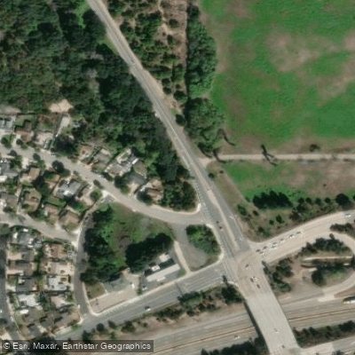
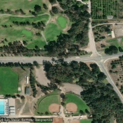
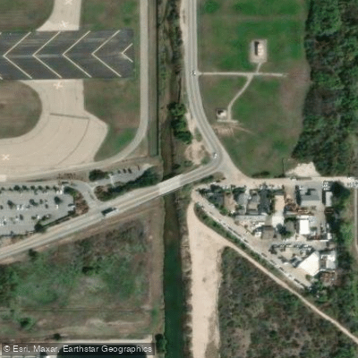
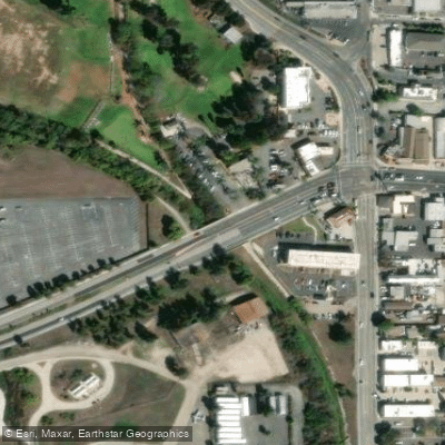
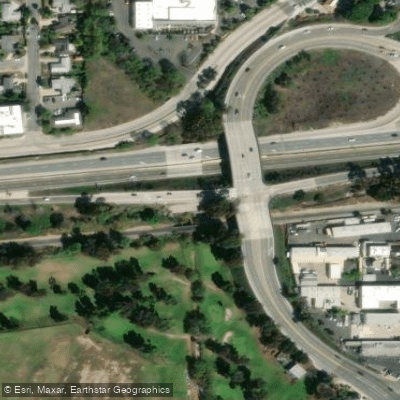
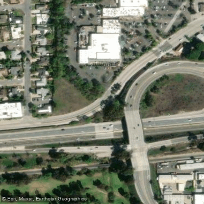
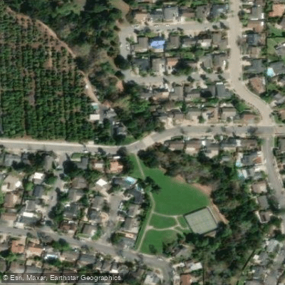
Learn how to get on Devereux Beach. Uncover great paddling access points, boat ramps, and all the facilities you need for an unforgettable day on the water. Some locations shown may border or include private property. Always check property boundaries and applicable regulations before visiting. PaddleWays's Public & Private Land layer can help you plan your access with confidence.
Paddle smarter with real-time insights
Whether you're en route and conditions shift or you're looking for the best spot based on current flows, we enable you to make informed decisions on the fly.








Find Places to Paddle

Over 400,000 Places to Paddle
Every user gets free access to launch points, boat ramps, and public property parcels.


Tides, wind & water conditions (10 day forecast)
On open water, wind and tide matter as much as the weather. See the best times to paddle Devereux Beach and check the marine forecast before you launch.
Loading tide predictions…
Paddling near Devereux Beach
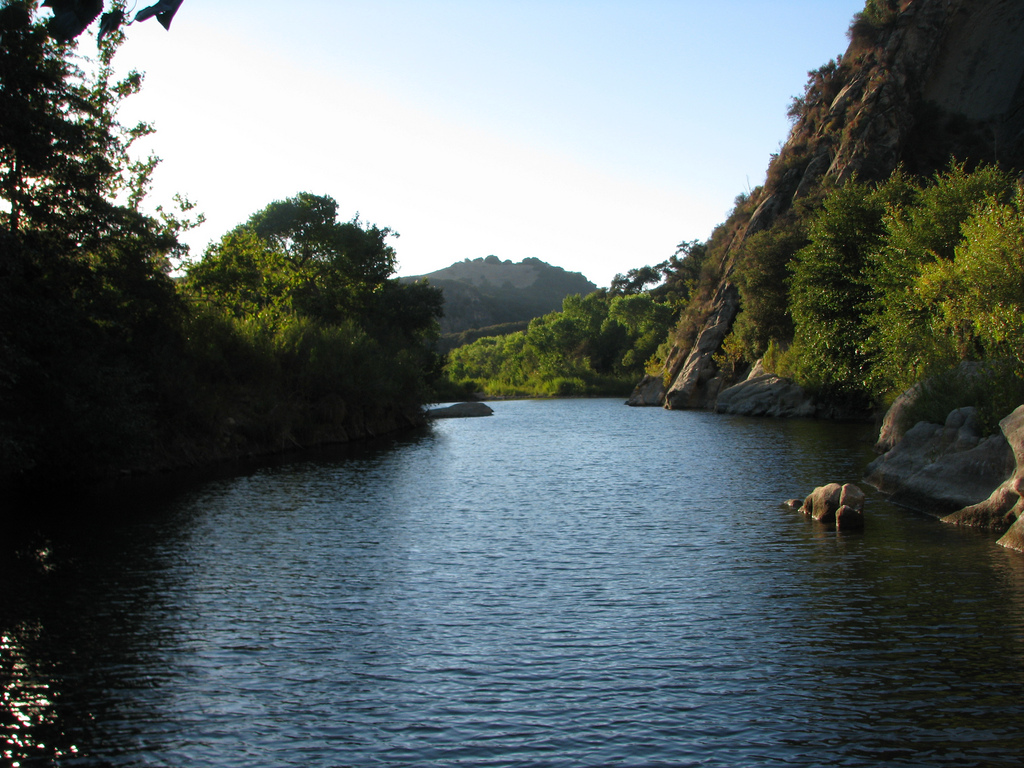
Santa Ynez River
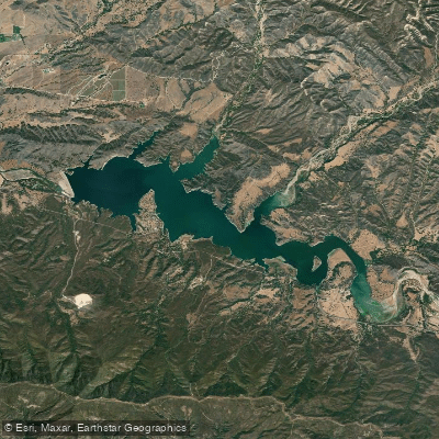
Lake Cachuma
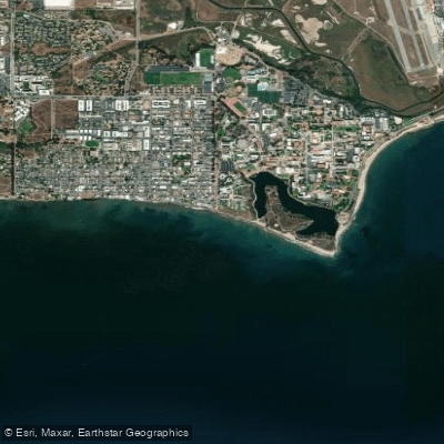
Isla Vista Beach
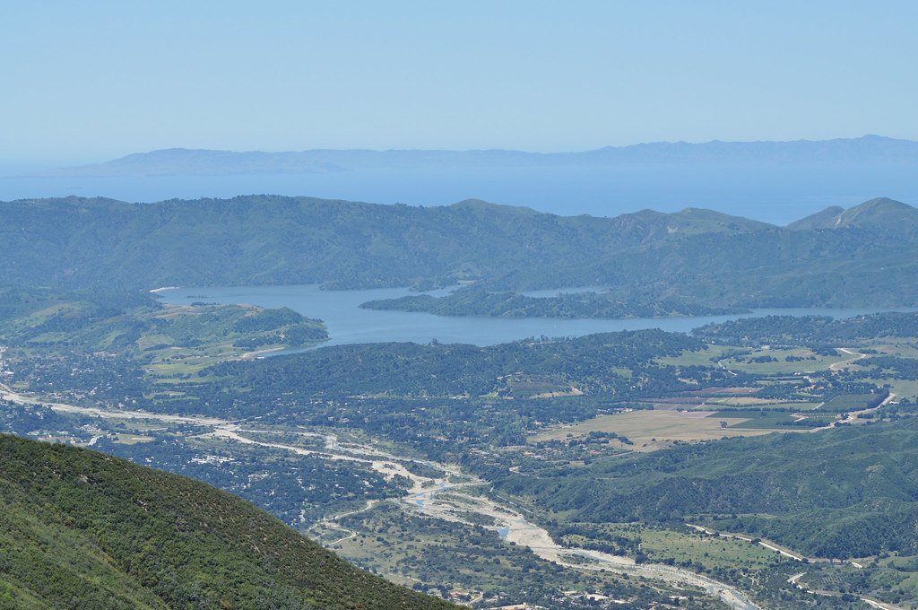
Lake Casitas
Sespe Creek
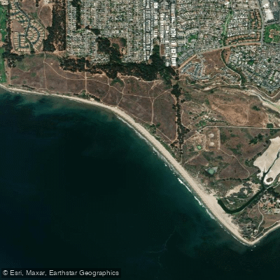
Ellwood Beach

Piru Creek
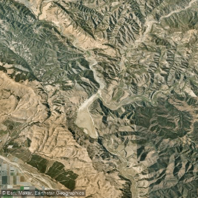
Twitchell Reservoir
Explore California waters
Top paddling waters
Popular Cities
Loading popular cities...
Explore near Devereux Beach
Access points
Nearby waters
More in California

Smarter Paddling Starts in the App.
Paddleways gives you everything you need to plan smarter, paddle better, and own every trip from first launch to takeout.