Isla Vista Beach
- Saltwater
- Beach
Isla Vista Beach
- Saltwater
- Beach
- Sq. miles
- 0
- Boat Ramps
- 0
- Access Points
- 1
- Campsites
- 0
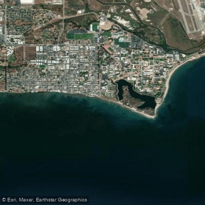
Isla Vista Beach is a narrow, sandy shoreline backed by eroding sandstone bluffs, serving as the coastal backyard for the University of California, Santa Barbara campus and the adjacent Isla Vista community. The beach's character is lively and casual, with a strong local student presence. Access for paddlers is via several public stairways descending from Del Playa Drive, approximately 30 to 50 feet down the bluff. Key access points include Camino Majorca Beach Access, Camino Pescadero Park Beach Access, and the Escondido Pass Beach Access near Isla Vista County Park. It is critical to note that some of these stairways have been damaged by winter storms and may be closed for repairs; paddlers must verify the status of their intended access point before arrival. Parking is exclusively free street parking along residential streets like Camino Majorca and Del Playa Drive, but spaces are extremely difficult to find due to high demand and are subject to a 72-hour limit and strict enforcement.
The beach itself is narrow, and at high tide there is little to no dry sand, making the launch and landing zone directly in the surf. The water is flagged as dangerous for swimming due to hazardous conditions and potentially dangerous bacteria, a warning that extends to paddlers who must be prepared for surf and strong currents. The area is exposed to prevailing winds and swells. From the beach, paddlers can travel west along the coast toward Devereux Beach and around Coal Oil Point to Sands Beach, which fronts the Coal Oil Point Natural Reserve. To the east, the beach continues below the UCSB campus bluffs. Tide pools are present at low tide along the base of the cliffs. Facilities for paddlers are minimal, with some access points having basic amenities like benches or outdoor showers, but no dedicated launch facilities or rentals are available at the beach itself. The aesthetic is one of golden sand meeting turquoise water with views of the Channel Islands, framed by the active bluffs above.
Water access, boat ramps & amenities
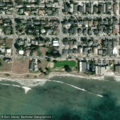
Learn how to get on Isla Vista Beach. Uncover great paddling access points, boat ramps, and all the facilities you need for an unforgettable day on the water. Some locations shown may border or include private property. Always check property boundaries and applicable regulations before visiting. PaddleWays's Public & Private Land layer can help you plan your access with confidence.
Paddle smarter with real-time insights
Whether you're en route and conditions shift or you're looking for the best spot based on current flows, we enable you to make informed decisions on the fly.








Find Places to Paddle

Over 400,000 Places to Paddle
Every user gets free access to launch points, boat ramps, and public property parcels.


Tides, wind & water conditions (10 day forecast)
On open water, wind and tide matter as much as the weather. See the best times to paddle Isla Vista Beach and check the marine forecast before you launch.
Loading tide predictions…
Paddling near Isla Vista Beach
Santa Ynez River
Lake Cachuma
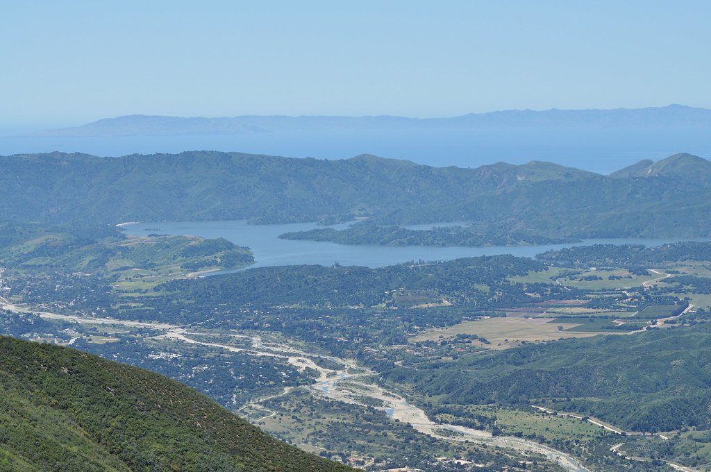
Lake Casitas
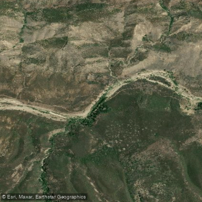
Sespe Creek
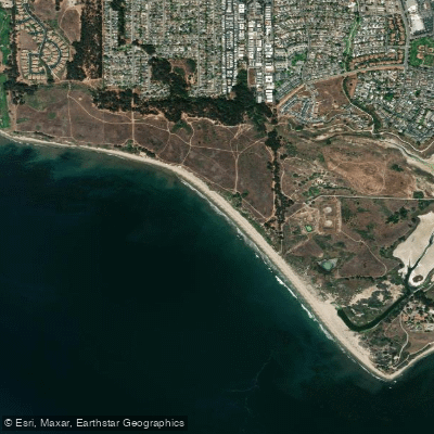
Ellwood Beach

Piru Creek
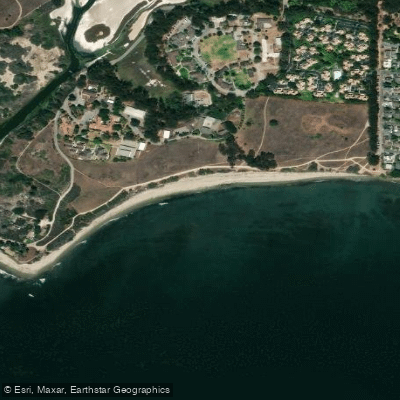
Devereux Beach
Twitchell Reservoir
Explore California waters
Top paddling waters
Popular Cities
Loading popular cities...
Explore near Isla Vista Beach
Access points
Nearby waters
More in California

Smarter Paddling Starts in the App.
Paddleways gives you everything you need to plan smarter, paddle better, and own every trip from first launch to takeout.