Fabian and Bell Canal
- Saltwater
- Sea area
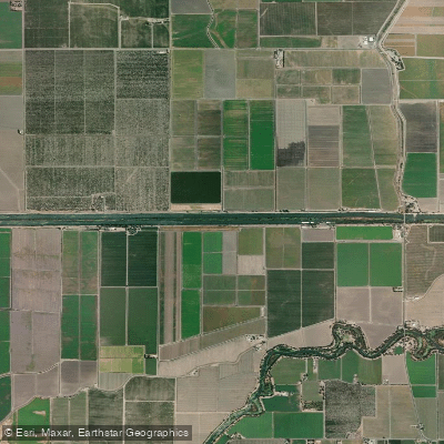
Fabian and Bell Canal
- Saltwater
- Sea area
- Sq. miles
- 0.1
- Boat Ramps
- 1
- Access Points
- 0
- Campsites
- 0
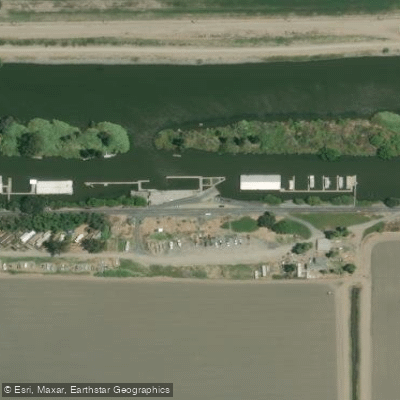
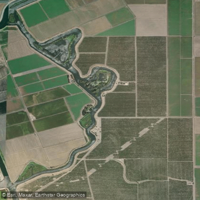
Fabian and Bell Canal is a canal located in San Joaquin County, California, within the Union Island area. It is a managed waterway, part of a network of channels in California's Sacramento-San Joaquin Delta region. The canal is accessible for paddling, with the Tracy Oasis Marina Boat Ramp serving as a primary, well-equipped access point for launching and taking out. This ramp provides paddlers with easy entry to the water and associated amenities. The canal's character is defined by its role as an irrigation and water conveyance channel. It is situated in a flat, low-elevation area, as indicated by its listed elevation of 0 feet. The surrounding landscape is part of the broader Delta, characterized by agricultural lands and interconnected waterways. Paddlers should be aware that this is a working waterway, which may involve commercial or agricultural boat traffic. The canal has been the subject of specific environmental management, including surveys for invasive aquatic plants like hydrilla as part of state eradication programs. For trip planning, paddlers can use online resources that map access points and water conditions specific to this canal. Its proximity to other channels like Middle River, Old River, and Grant Line Canal suggests opportunities for extended routes exploring the Delta's intricate waterway system, though careful navigation and awareness of potential currents from water management operations are advised.
Water access, boat ramps & amenities
Learn how to get on Fabian and Bell Canal. Uncover great paddling access points, boat ramps, and all the facilities you need for an unforgettable day on the water. Some locations shown may border or include private property. Always check property boundaries and applicable regulations before visiting. PaddleWays's Public & Private Land layer can help you plan your access with confidence.
Paddle smarter with real-time insights
Whether you're en route and conditions shift or you're looking for the best spot based on current flows, we enable you to make informed decisions on the fly.








Find Places to Paddle

Over 400,000 Places to Paddle
Every user gets free access to launch points, boat ramps, and public property parcels.


Tides, wind & water conditions (10 day forecast)
On open water, wind and tide matter as much as the weather. See the best times to paddle Fabian and Bell Canal and check the marine forecast before you launch.
Loading tide predictions…
Paddling near Fabian and Bell Canal

San Joaquin River

Stanislaus River
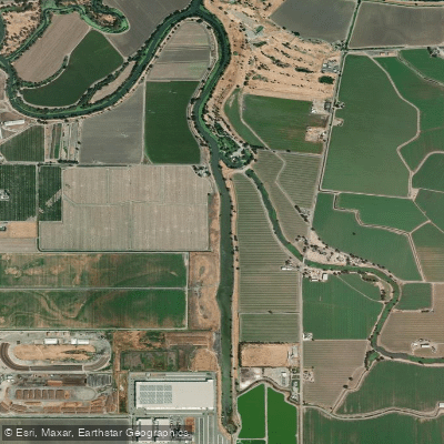
Sugar Cut

Tuolumne River

Sacramento River
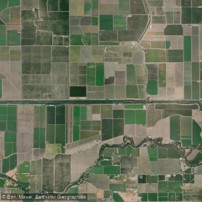
Grant Line Canal

Mokelumne River

Merced River
Old River
Explore California waters
Top paddling waters
Popular Cities
Loading popular cities...
Explore near Fabian and Bell Canal
Access points
Nearby waters
More in California

Smarter Paddling Starts in the App.
Paddleways gives you everything you need to plan smarter, paddle better, and own every trip from first launch to takeout.