Old River
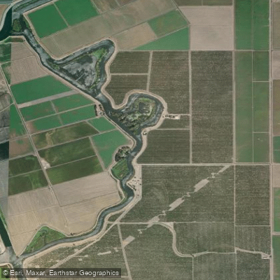
Old River
- Boat Ramps
- 0
- Access Points
- 0
- Campsites
- 1
Old River is a 40-mile tidal distributary of the San Joaquin River flowing through the Sacramento-San Joaquin River Delta in Northern California. Once the main channel of the San Joaquin River before late 19th and early 20th century navigation and flood control projects redirected the flow past Stockton, Old River diverges from the San Joaquin near Tracy, approximately 38 miles upstream from Antioch. The waterway initially flows west toward Mountain House, then curves north to rejoin the San Joaquin River 13 miles above Antioch.
The river forms part of the boundary between San Joaquin County to the east and Contra Costa County to the west. Levees line both banks to protect adjacent Delta islands, many of which sit below sea level. False River branches off from Old River about a mile above its mouth, running westward to meet the San Joaquin closer to Antioch. Middle River runs roughly parallel to the east.
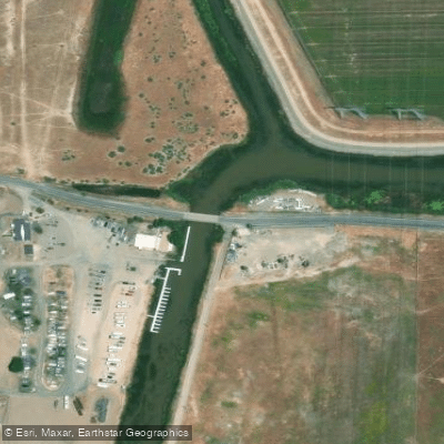
Paddling Old River offers peaceful flatwater exploration through the intricate California Delta system. Rivers End Marina serves as a primary launch point, charging $10 for access to clean facilities including a store and restrooms. From here, paddlers can travel south on Old River toward Mountain House Creek, a journey taking approximately one hour at a leisurely pace. The route passes numerous small islands with tule-lined levee banks interspersed with trees, creating varied shoreline habitat.
Critical safety awareness is essential near the launch area where water intakes for Southern California pumping stations create extremely dangerous currents near the gates. These pumps can move 3,500 cubic feet per second and can reverse natural flow directions, making tide timing crucial for safe passage. Paddlers should coordinate trips with incoming tides when possible and maintain significant distance from intake structures.
The riverfront supports rich biological habitat, with pilings and banks providing suitable conditions for riparian and freshwater marsh species. The mouth of Mountain House Creek, where it joins Old River, represents a particularly valuable ecological zone. The area offers multiple exploration possibilities with various sloughs and side channels accessible from the main waterway.
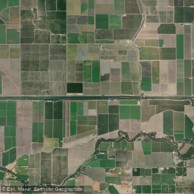
Old River's tidal nature means water levels and flow directions change throughout the day. Grant Line Canal serves as a reference point for tide predictions. The waterway maintains consistent flatwater conditions suitable for novice to intermediate paddlers, though the industrial-scale water management infrastructure requires vigilance. NOAA chart 18661 provides accurate navigation information, as some mapping services incorrectly label waterways in this complex delta system.
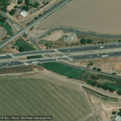
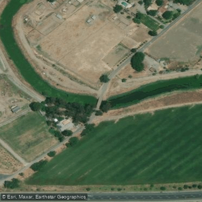
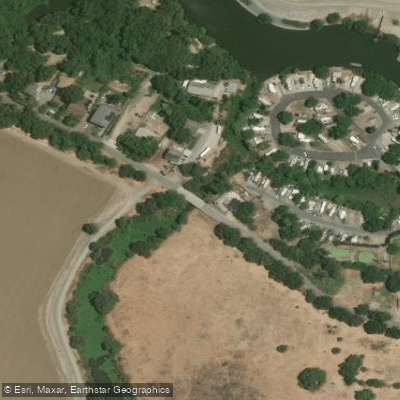
Water access, boat ramps & amenities
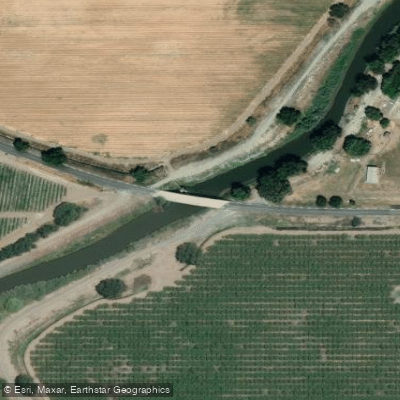
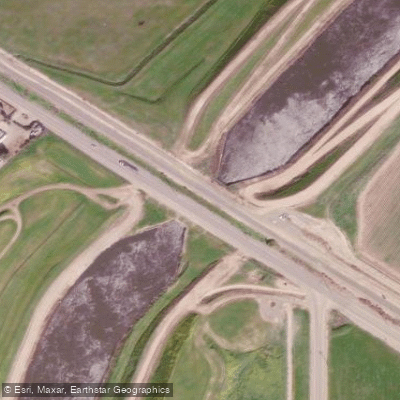
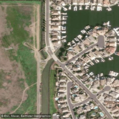
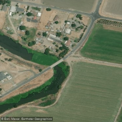
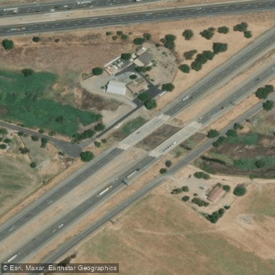
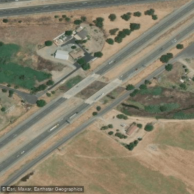
Learn how to get on Old River. Uncover great paddling access points, boat ramps, and all the facilities you need for an unforgettable day on the water. Some locations shown may border or include private property. Always check property boundaries and applicable regulations before visiting. PaddleWays's Public & Private Land layer can help you plan your access with confidence.
Paddle smarter with real-time insights
Whether you're en route and conditions shift or you're looking for the best spot based on current flows, we enable you to make informed decisions on the fly.








Find Places to Paddle

Over 400,000 Places to Paddle
Every user gets free access to launch points, boat ramps, and public property parcels.


Water and weather conditions (10 day forecast)
See the best times to paddle Old River and check the forecast before you go.
OLD R NR DELTA MENDOTA CANAL CA
All Flow Stations
Paddling near Old River

San Joaquin River

Stanislaus River
Sugar Cut

Tuolumne River

Sacramento River
Grant Line Canal

Mokelumne River

Merced River
Fabian and Bell Canal
Explore California waters
Top paddling waters
Popular Cities
Loading popular cities...
Explore near Old River
Access points
Nearby waters
More in California

Smarter Paddling Starts in the App.
Paddleways gives you everything you need to plan smarter, paddle better, and own every trip from first launch to takeout.