Feather River
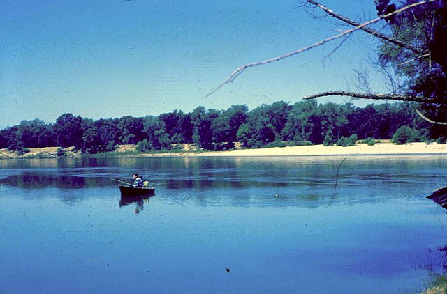
Feather River
- Boat Ramps
- 13
- Access Points
- 24
- Campsites
- 15
The Feather River, located in Northern California, is a diverse and exciting waterway that offers a wide range of paddling opportunities for all skill levels. As the largest tributary of the Sacramento River, the Feather River system consists of several forks - the North, Middle, South, and West Branch - which converge at Lake Oroville before flowing south through the Sacramento Valley.
The river is renowned for its stunning scenery, cutting through deep canyons lined with granite formations, lush forests, and picturesque meadows. The Middle Fork, in particular, is celebrated for its wild and scenic status, offering one of California's premier multi-day wilderness paddling experiences.
Paddling opportunities on the Feather River range from calm flatwater sections suitable for beginners to extremely challenging whitewater runs that test even the most skilled kayakers and rafters. The difficulty varies greatly between sections, with ratings from Class I to Class V+.
The North Fork offers several popular whitewater runs, including the Rock Creek and Cresta reaches, which feature Class III-V rapids. These sections typically have scheduled releases during summer months, providing reliable flows for whitewater enthusiasts.
The Middle Fork is home to the infamous 32.5-mile Devils Canyon run from Nelson Point to Milsap Bar, a Class V+ multi-day trip through remote wilderness that should only be attempted by expert paddlers.
For those seeking a more relaxed experience, the Lower Feather River below Oroville Dam offers scenic flatwater paddling with opportunities for wildlife viewing. This section is particularly popular for canoeists and stand-up paddleboarders.
The best time to paddle the Feather River varies depending on the section. Whitewater runs on the North Fork are often best during scheduled summer releases, while the Middle Fork's challenging sections are typically run in late spring or early summer when snowmelt provides adequate flows. The Lower Feather can be enjoyed year-round, though spring and fall offer the most pleasant weather conditions.
Wildlife along the river is abundant, with opportunities to spot bald eagles, ospreys, river otters, and even black bears. The river corridor is home to diverse plant life, including towering pines, oaks, and vibrant wildflowers in the spring.
Key access points and nearby towns include Quincy, Oroville, and Chico. These communities serve as gateways to various sections of the river and offer amenities for paddlers. The Feather River Canyon, accessible via Highway 70, provides dramatic views and access to several whitewater runs.
Historically, the Feather River played a significant role in California's Gold Rush and later in the state's water management system. Today, it continues to be an important resource for hydroelectric power, water supply, and recreation.
Safety considerations are paramount on the Feather River, particularly on its more challenging sections. Paddlers should always check current flow levels, be aware of their skill limitations, and carry appropriate safety gear. Some sections, like the Devils Canyon run, require extensive wilderness experience and self-rescue skills.
For those looking for multi-day adventures, the Middle Fork offers the classic 3-4 day trip through Devils Canyon, while the Lower Feather provides opportunities for more leisurely overnight journeys. These longer trips allow paddlers to fully immerse themselves in the river's natural beauty and solitude.
Whether you're seeking heart-pounding whitewater action or a peaceful paddle through scenic landscapes, the Feather River offers a wealth of experiences for paddlers of all interests and abilities. Its diverse character and stunning surroundings make it one of Northern California's premier paddling destinations.
Water access, boat ramps & amenities
Learn how to get on Feather River. Uncover great paddling access points, boat ramps, and all the facilities you need for an unforgettable day on the water. Some locations shown may border or include private property. Always check property boundaries and applicable regulations before visiting. PaddleWays's Public & Private Land layer can help you plan your access with confidence.
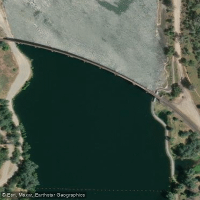
Thermalito Diversion Pool Access
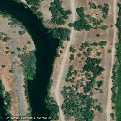
Oroville Wildlife Area Access
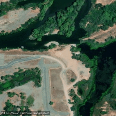
Oroville Wildlife Area Access
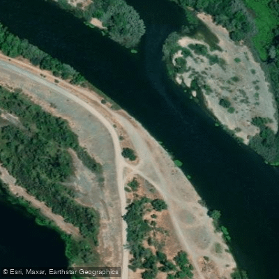
Oroville Wildlife Area Access
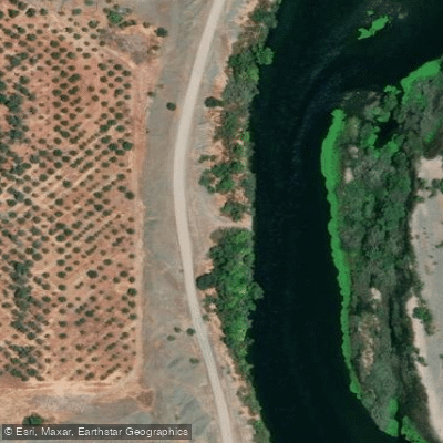
Oroville Wildlife Area Access
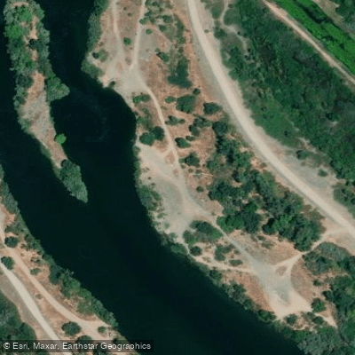
Oroville Wildlife Area Access
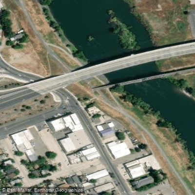
Veterans Park Access
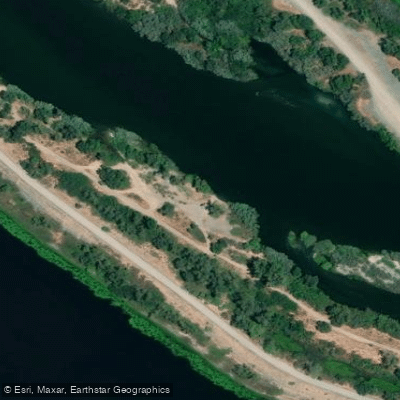
Oroville Wildlife Area Access
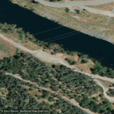
Brad Freeman Trail Access
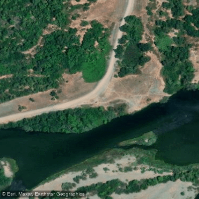
Oroville Wildlife Area Access
Paddle smarter with real-time insights
Whether you're en route and conditions shift or you're looking for the best spot based on current flows, we enable you to make informed decisions on the fly.








Find Places to Paddle

Over 400,000 Places to Paddle
Every user gets free access to launch points, boat ramps, and public property parcels.


Water and weather conditions (10 day forecast)
See the best times to paddle Feather River and check the forecast before you go.
OROVILLE FISH HATCHERY
All Flow Stations
Paddling near Feather River

Sacramento River
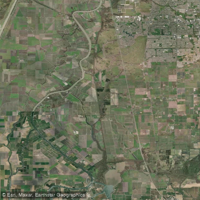
Snodgrass Slough
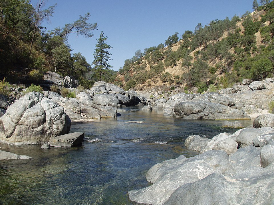
Yuba River
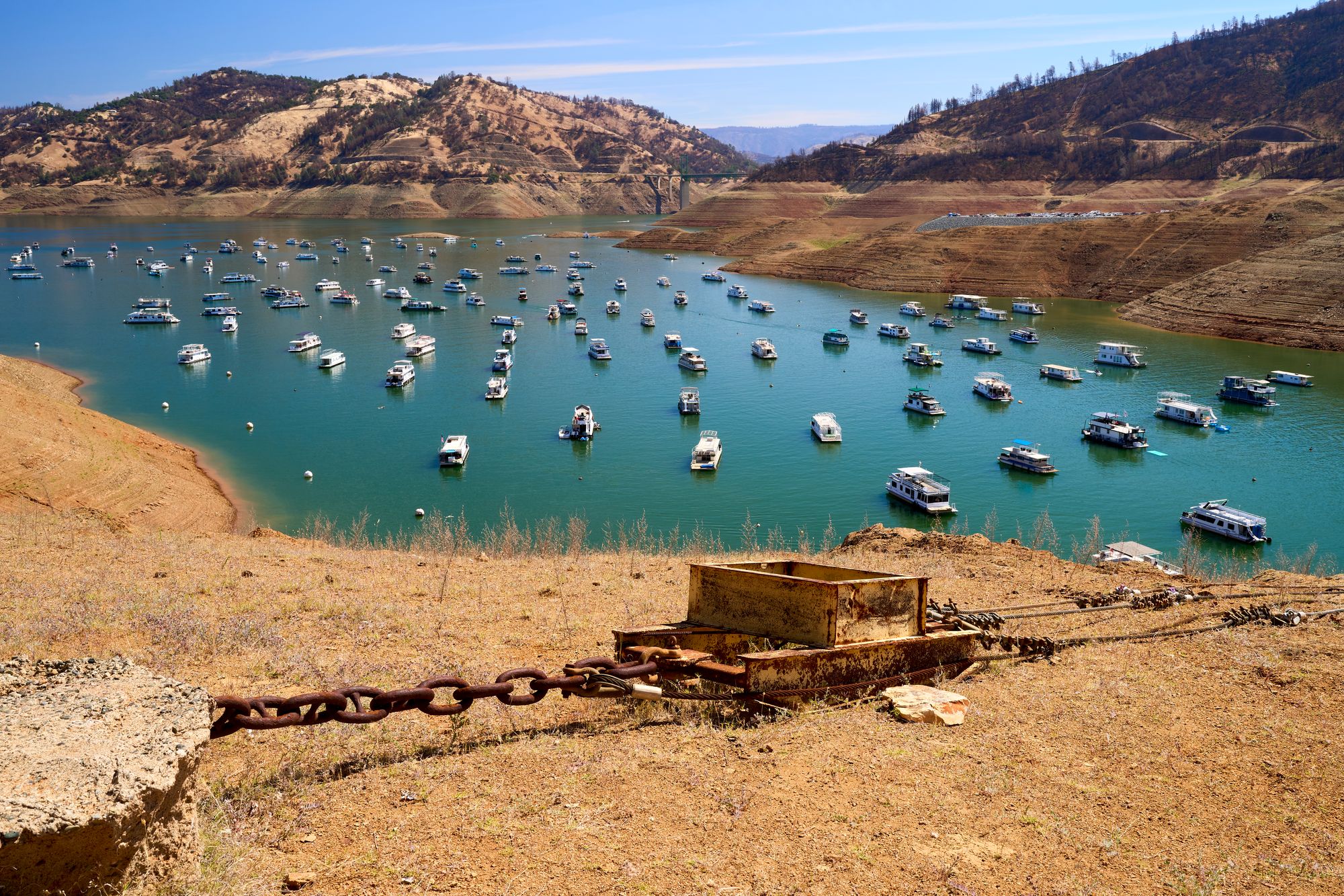
Lake Oroville
Elk Slough
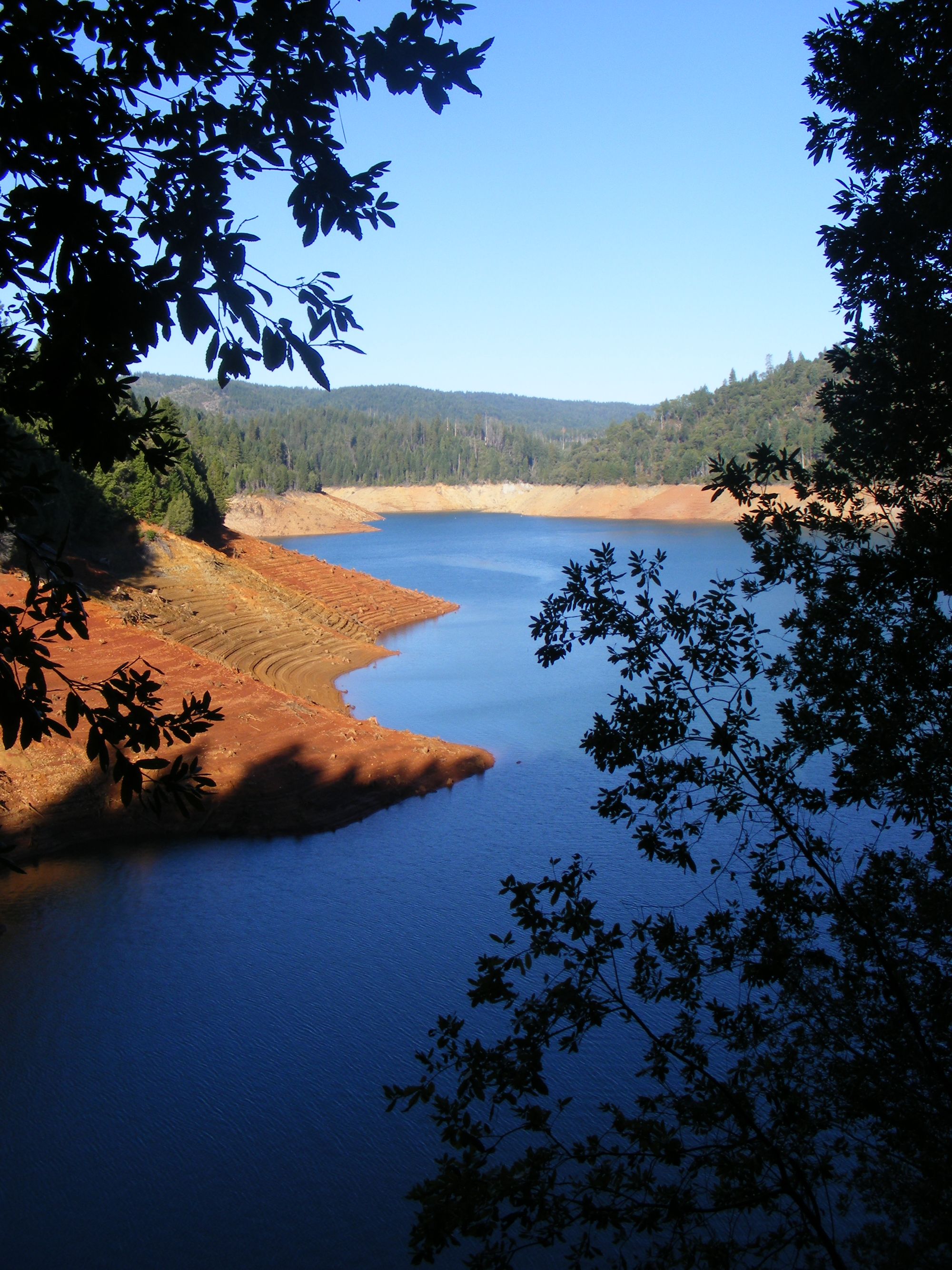
New Bullards Bar Reservoir

North Fork American River
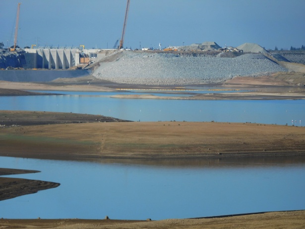
Folsom Lake
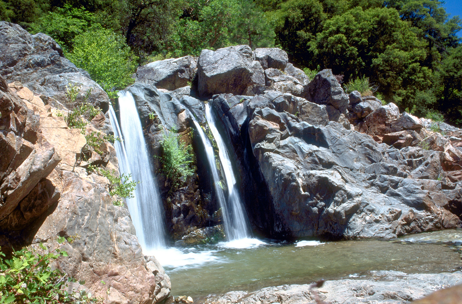
South Yuba River
Explore California waters
Top paddling waters
Popular Cities
Loading popular cities...
Explore near Feather River
Access points
- Lake Oroville West Park Riverbend Boat Ramp
- Grays Beach Michigan Boat Ramp
- Feather River Parkway Boat Ramp
- Oroville Wildlife Area Boat Ramp
- Beer Can Beach Boat Ramp
- Shanghai Bend Boat Ramp
- Feather River Boat Ramp
- Oroville Wildlife Area Boat Ramp
- Boyd Pump Boat Ramp
- Oroville Wildlife Area Boat Ramp
- Yuba City Boat Ramp
- Gridley Boat Ramp
- All 84 spots
Nearby waters
More in California

Smarter Paddling Starts in the App.
Paddleways gives you everything you need to plan smarter, paddle better, and own every trip from first launch to takeout.