Yuba River
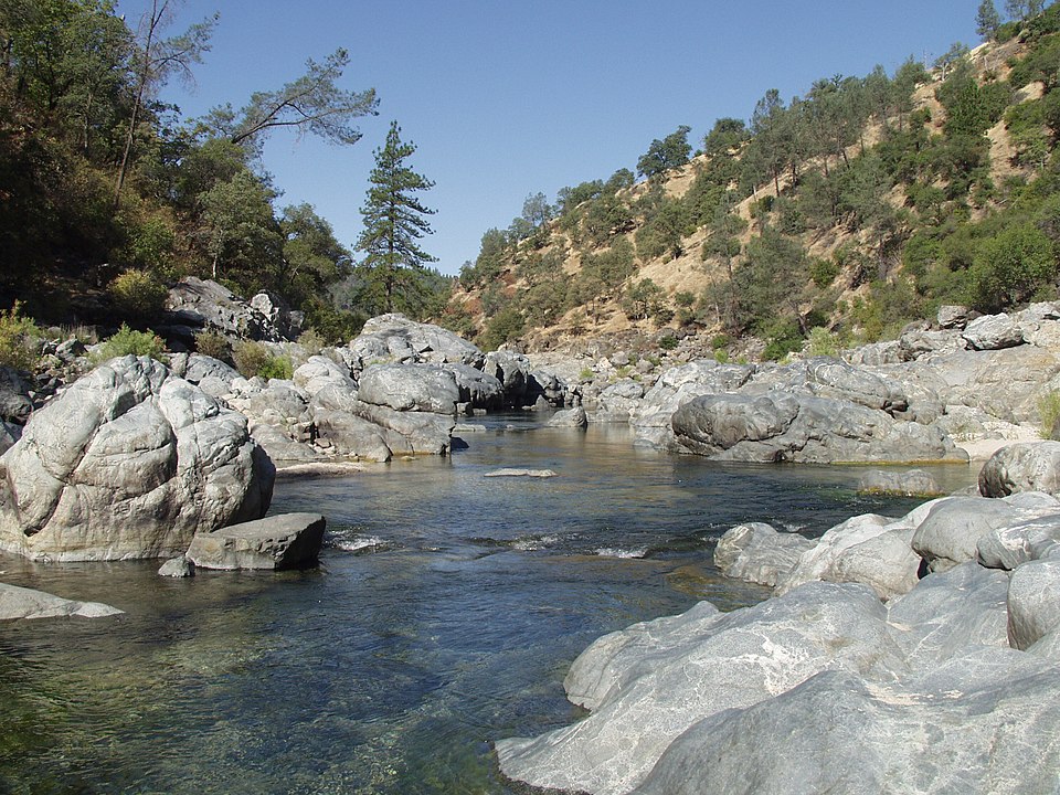
Yuba River
- Boat Ramps
- 0
- Access Points
- 3
- Campsites
- 9
The Yuba River, located in Northern California's Sierra Nevada region, is a dynamic and diverse waterway that offers a wide range of paddling experiences for enthusiasts of all skill levels. This tributary of the Feather River is comprised of three main forks - North, Middle, and South - each with its own unique character and challenges.
The North Fork Yuba River is renowned for its exhilarating whitewater, particularly the stretch from Union Flat to Downieville. This 13-mile section features Class IV-V rapids set against the stunning backdrop of the Sierra Nevada Mountains. The river continues through the Downieville Ravine, a short but intense 3.2-mile run with technical Class V rapids that will test even experienced paddlers.
The Middle Fork Yuba offers a challenging 4.5-mile section from Route 49 to its confluence with the North Fork, characterized by Class IV-V rapids and beautiful Northern Sierra scenery. This run is best suited for advanced paddlers with strong technical skills.
The South Fork Yuba provides a more accessible experience, with the 5-mile stretch from Edwards Crossing to Purdon Crossing offering Class IV rapids and scenic beauty. This section is popular among intermediate to advanced paddlers and hikers alike, with the South Yuba River Trail running alongside it.
As the forks converge, the Lower Yuba River presents a different paddling experience. The 6-mile section from Englebright Dam to Highway 20 is ideal for a range of skill levels, featuring Class I-III rapids with one notable Class IV. This stretch is also famous for its excellent fly fishing, particularly for rainbow trout that fight like steelhead.
The best time to paddle the Yuba River is typically during the spring snowmelt, from March through June, when water levels are optimal. However, the Lower Yuba can often be paddled year-round, with different sections opening or closing seasonally to protect spawning fish.
The river corridor is home to diverse flora and fauna, including towering pines, oaks, and a variety of wildlife such as black bears, deer, and numerous bird species. The Yuba River watershed is also rich in Gold Rush history, with many old mining sites and historic towns like Downieville dotting its banks.
Access to the river is available through several points, including Edwards Crossing, Purdon Crossing, Highway 20, and various campgrounds along its course. Nearby towns like Nevada City, Grass Valley, and Marysville serve as gateways to the river, offering amenities and services for paddlers.
Safety is paramount on the Yuba River, especially on its more challenging sections. Paddlers should always check current flow conditions, be aware of their skill level, and use appropriate safety gear. Some sections, particularly in the upper reaches, are only suitable for expert paddlers due to technical rapids and potential hazards like undercut rocks.
For those seeking a multi-day adventure, combining different sections of the Yuba can provide an exciting and varied experience. For instance, paddlers might start on the challenging North Fork, then transition to the more moderate Lower Yuba for a comprehensive tour of this remarkable river system.
The Yuba River, with its pristine waters, challenging rapids, and scenic beauty, stands as a testament to California's wild rivers. Whether you're an adrenaline-seeking expert or a nature-loving beginner, the Yuba offers a paddling experience that will leave you in awe of its power and beauty.
Water access, boat ramps & amenities
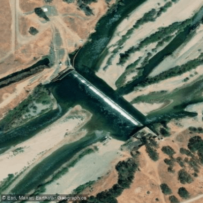
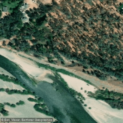
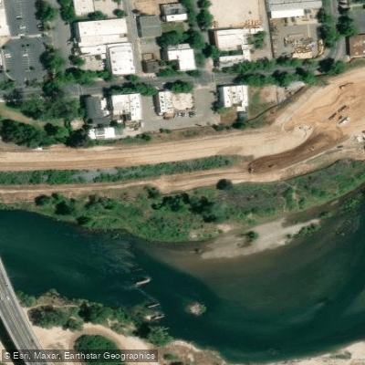
Learn how to get on Yuba River. Uncover great paddling access points, boat ramps, and all the facilities you need for an unforgettable day on the water. Some locations shown may border or include private property. Always check property boundaries and applicable regulations before visiting. PaddleWays's Public & Private Land layer can help you plan your access with confidence.
Paddle smarter with real-time insights
Whether you're en route and conditions shift or you're looking for the best spot based on current flows, we enable you to make informed decisions on the fly.








Find Places to Paddle

Over 400,000 Places to Paddle
Every user gets free access to launch points, boat ramps, and public property parcels.


Water and weather conditions (10 day forecast)
See the best times to paddle Yuba River and check the forecast before you go.
YUBA R NR MARYSVILLE CA
All Flow Stations
Paddling near Yuba River
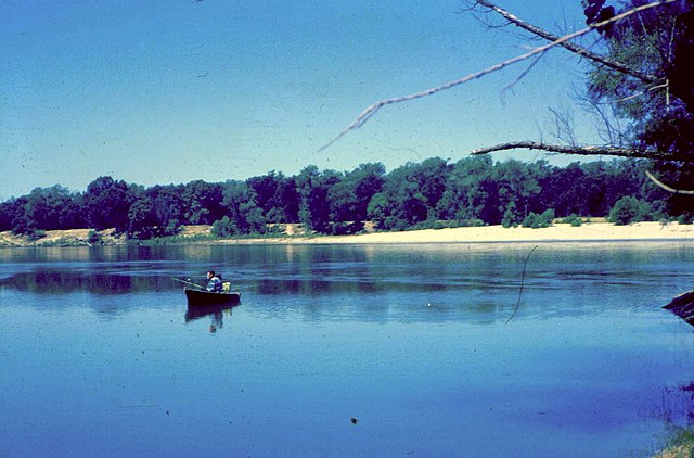
Feather River

Sacramento River
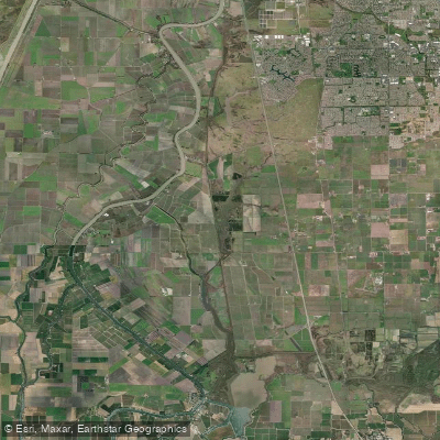
Snodgrass Slough
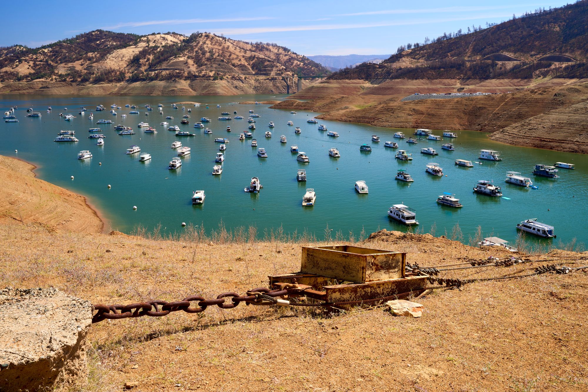
Lake Oroville
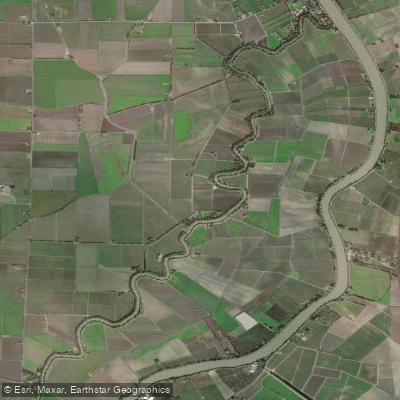
Elk Slough
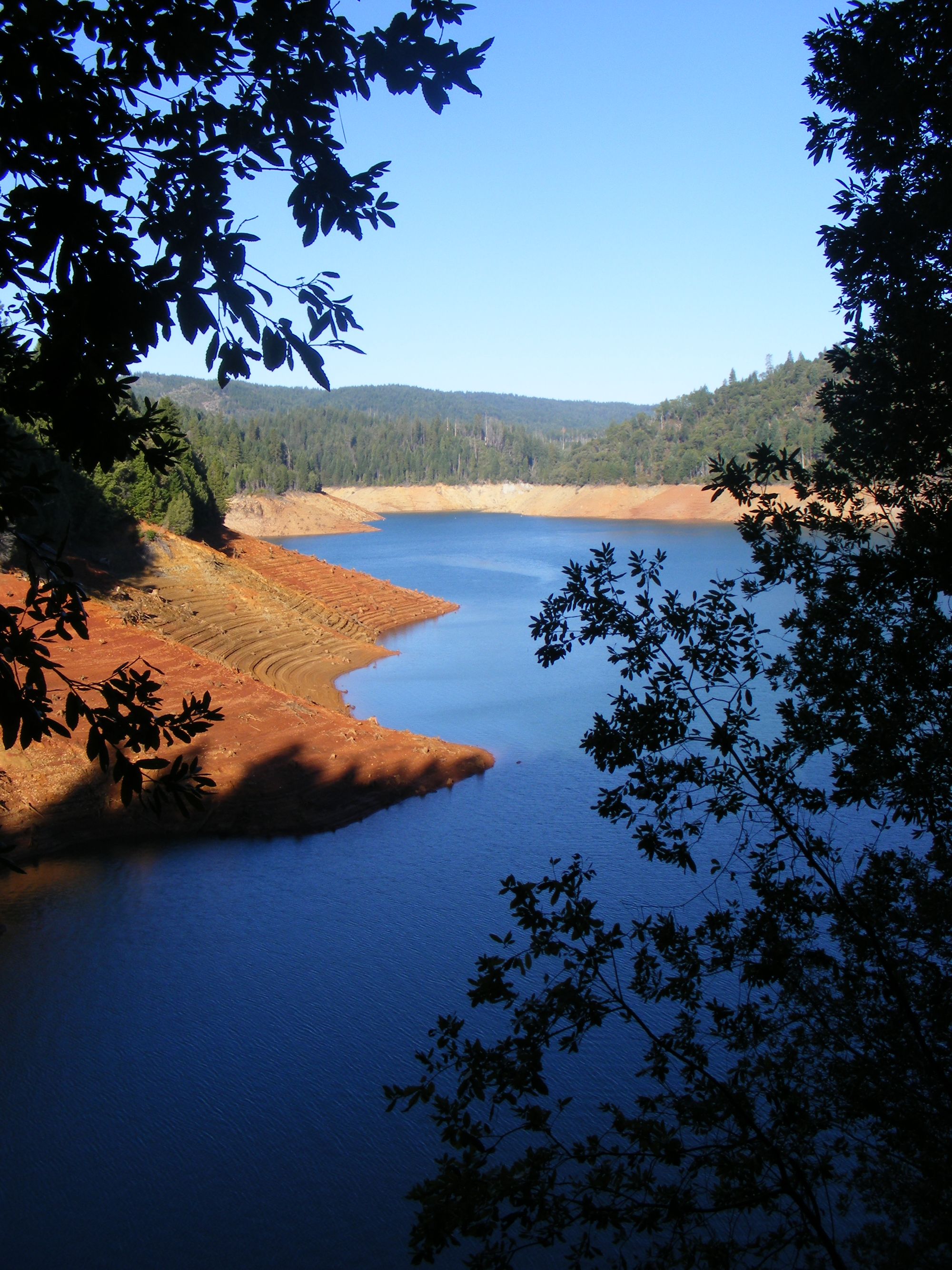
New Bullards Bar Reservoir

North Fork American River
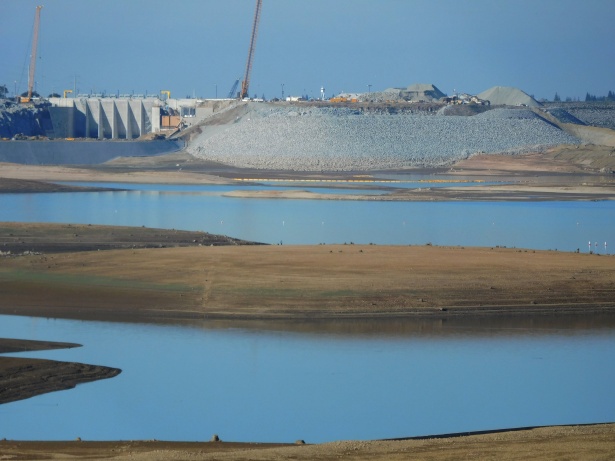
Folsom Lake
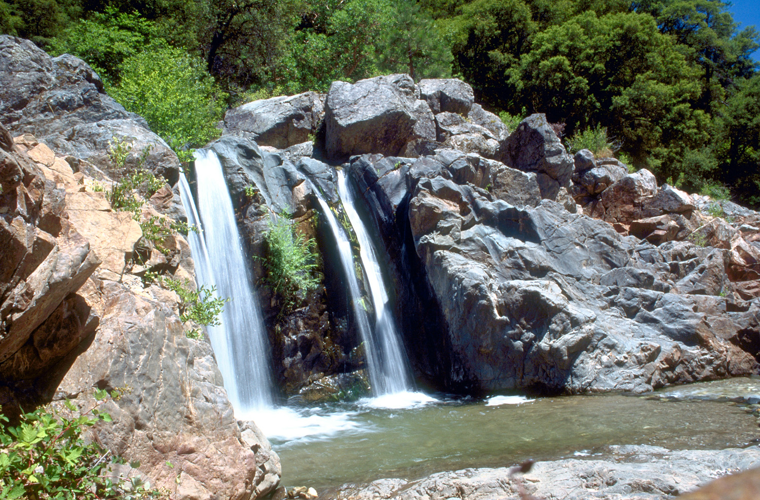
South Yuba River
Explore California waters
Top paddling waters
Popular Cities
Loading popular cities...
Explore near Yuba River
Access points
Nearby waters
More in California

Smarter Paddling Starts in the App.
Paddleways gives you everything you need to plan smarter, paddle better, and own every trip from first launch to takeout.