Snodgrass Slough
- Saltwater
- Sea area
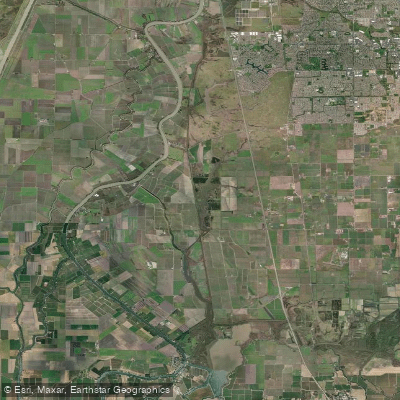
Snodgrass Slough
- Saltwater
- Sea area
- Sq. miles
- 0.9
- Boat Ramps
- 0
- Access Points
- 0
- Campsites
- 0
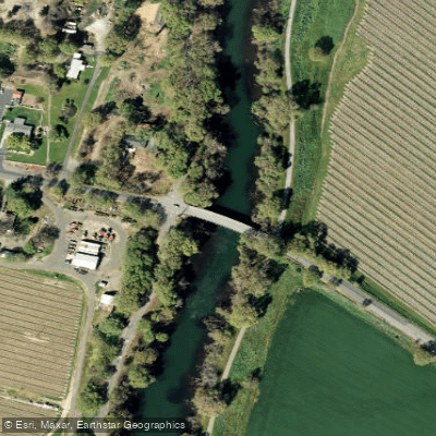
Snodrass Slough is a tidal waterway within the Sacramento-San Joaquin Delta, offering a classic Delta paddling experience through agricultural land and wildlife habitat. Two primary public launch points serve paddlers. The Delta Meadows Boat Ramp near Locke is a small, public ramp, though paddlers should be prepared for occasional floating aquatic vegetation near the launch. Walnut Grove Marina, also a public facility, offers a more developed launch with amenities including restrooms and a store; a launch fee may apply per vehicle, though policies on carrying kayaks directly to the ramp can vary. The slough is subject to significant tidal influence, with a typical tidal range of approximately 2-3 feet. Paddlers consistently plan trips around high tide, launching on an incoming tide to aid travel upstream. Currents are present but can be variable in strength. The slough is narrow and winding in its upper reaches, eventually terminating at a dam that marks the boundary of Stone Lakes National Wildlife Refuge. The lower section widens considerably, feeling like a small lake in places. The surrounding landscape is defined by levees lined with trees, tules, and blackberry bushes, with farmland beyond. Wildlife viewing is a major highlight, with frequent sightings of sea lions, river otters, Sandhill Cranes, various herons and egrets, hawks, cormorants, turtles, and beavers. The area is part of the Stone Lakes National Wildlife Refuge, and general self-guided paddling access is restricted within the refuge itself; access is only permitted through official, docent-guided paddle tours offered by the U.S. Fish and Wildlife Service. Outside the refuge boundary, the numerous side channels and connecting sloughs, such as Meadows Slough, provide extensive exploration opportunities, though paddlers are cautioned to pay close attention to landmarks to avoid getting lost in the maze of waterways. The water is generally calm and glassy on windless days, but paddlers should be aware of potential boat traffic, particularly near the launches and in the wider sections.
Water access, boat ramps & amenities
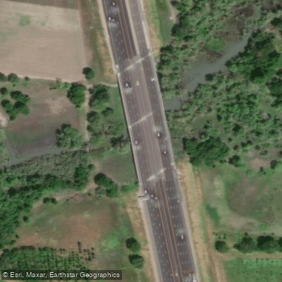
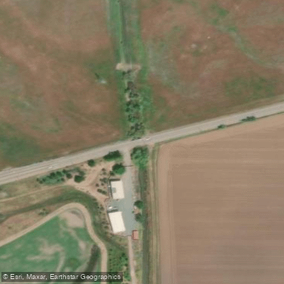
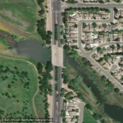
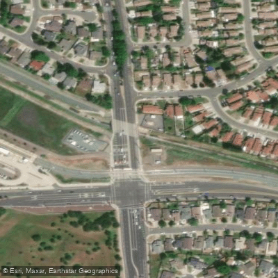
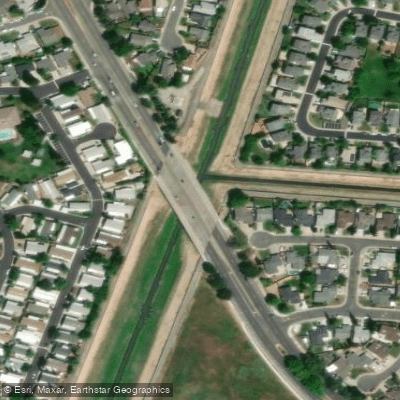
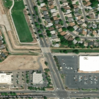
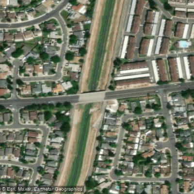
Learn how to get on Snodgrass Slough. Uncover great paddling access points, boat ramps, and all the facilities you need for an unforgettable day on the water. Some locations shown may border or include private property. Always check property boundaries and applicable regulations before visiting. PaddleWays's Public & Private Land layer can help you plan your access with confidence.
Paddle smarter with real-time insights
Whether you're en route and conditions shift or you're looking for the best spot based on current flows, we enable you to make informed decisions on the fly.








Find Places to Paddle

Over 400,000 Places to Paddle
Every user gets free access to launch points, boat ramps, and public property parcels.


Tides, wind & water conditions (10 day forecast)
On open water, wind and tide matter as much as the weather. See the best times to paddle Snodgrass Slough and check the marine forecast before you launch.
Loading tide predictions…
Paddling near Snodgrass Slough

Sacramento River

American River

Mokelumne River
Lake Natoma
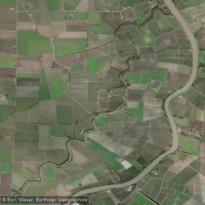
Elk Slough
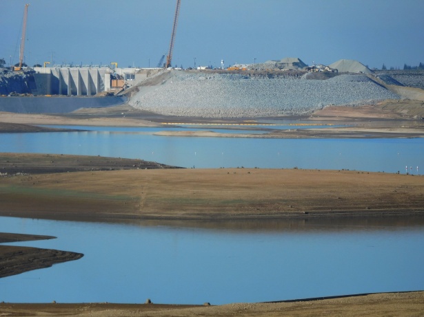
Folsom Lake

North Fork American River
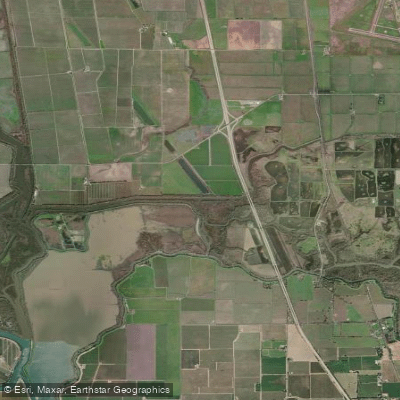
Lost Slough

San Joaquin River
Explore California waters
Top paddling waters
Popular Cities
Loading popular cities...
Explore near Snodgrass Slough
Access points
Nearby waters
More in California

Smarter Paddling Starts in the App.
Paddleways gives you everything you need to plan smarter, paddle better, and own every trip from first launch to takeout.