Nicasio Reservoir
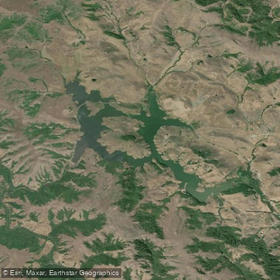
Nicasio Reservoir
- Boat Ramps
- 0
- Access Points
- 0
- Campsites
- 5
Nicasio Reservoir, located in Marin County, California, is a 845-acre artificial lake created by the construction of Seeger Dam in 1961. The reservoir sits within a 35.9 square mile drainage basin, surrounded by rolling hills and picturesque vineyards. While primarily used for fishing and hiking, paddling opportunities are limited due to restrictions on boating access.
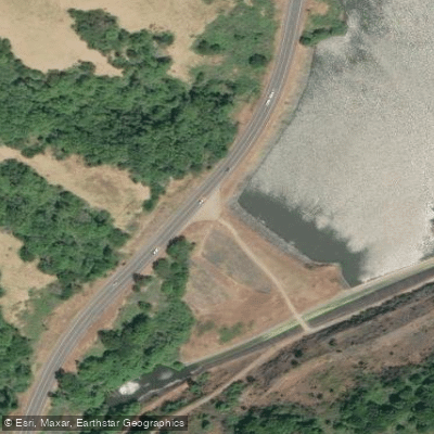
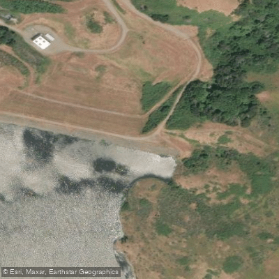
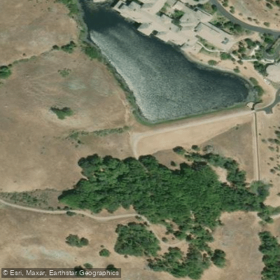
The reservoir does not have boat launches, which significantly impacts paddling activities. Visitors can access the water's edge from multiple parking areas along Nicasio Valley Road, which offers free and accessible parking. The shoreline provides opportunities for bank fishing and hiking, with a 3-mile trail along the water's edge offering expansive views of the reservoir and surrounding landscape.
Wildlife enthusiasts may spot various species around the reservoir. A river otter was documented at the southwest corner in 2008, and the area is home to diverse bird life. Largemouth bass, crappie, and catfish populate the waters, with some bass reaching sizes over 10 pounds.
The reservoir's broad and shallow nature leads to quick evaporation, which may affect water levels throughout the year. Water quality is a concern, as the California Office of Environmental Health Hazard Assessment has issued a safe eating advisory for fish caught in Nicasio Reservoir due to levels of mercury or PCBs.
Paddlers should be aware that the reservoir can get quite hot during summer days, making early morning or evening the most comfortable times for shoreline activities. The area experiences significant traffic, which may impact the tranquility of the experience.
The construction of Seeger Dam was controversial, displacing local farms and blocking spawning areas for endangered coho salmon and threatened steelhead trout. This history has shaped the current ecosystem and usage of the reservoir.
Water access, boat ramps & amenities
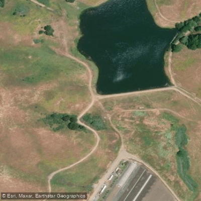
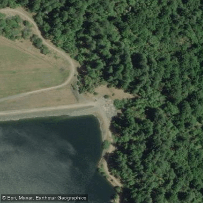
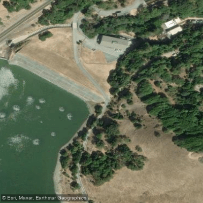
Learn how to get on Nicasio Reservoir. Uncover great paddling access points, boat ramps, and all the facilities you need for an unforgettable day on the water. Some locations shown may border or include private property. Always check property boundaries and applicable regulations before visiting. PaddleWays's Public & Private Land layer can help you plan your access with confidence.
Paddle smarter with real-time insights
Whether you're en route and conditions shift or you're looking for the best spot based on current flows, we enable you to make informed decisions on the fly.








Find Places to Paddle

Over 400,000 Places to Paddle
Every user gets free access to launch points, boat ramps, and public property parcels.


Water and weather conditions (10 day forecast)
See the best times to paddle Nicasio Reservoir and check the forecast before you go.
No forecast data available.
Paddling near Nicasio Reservoir
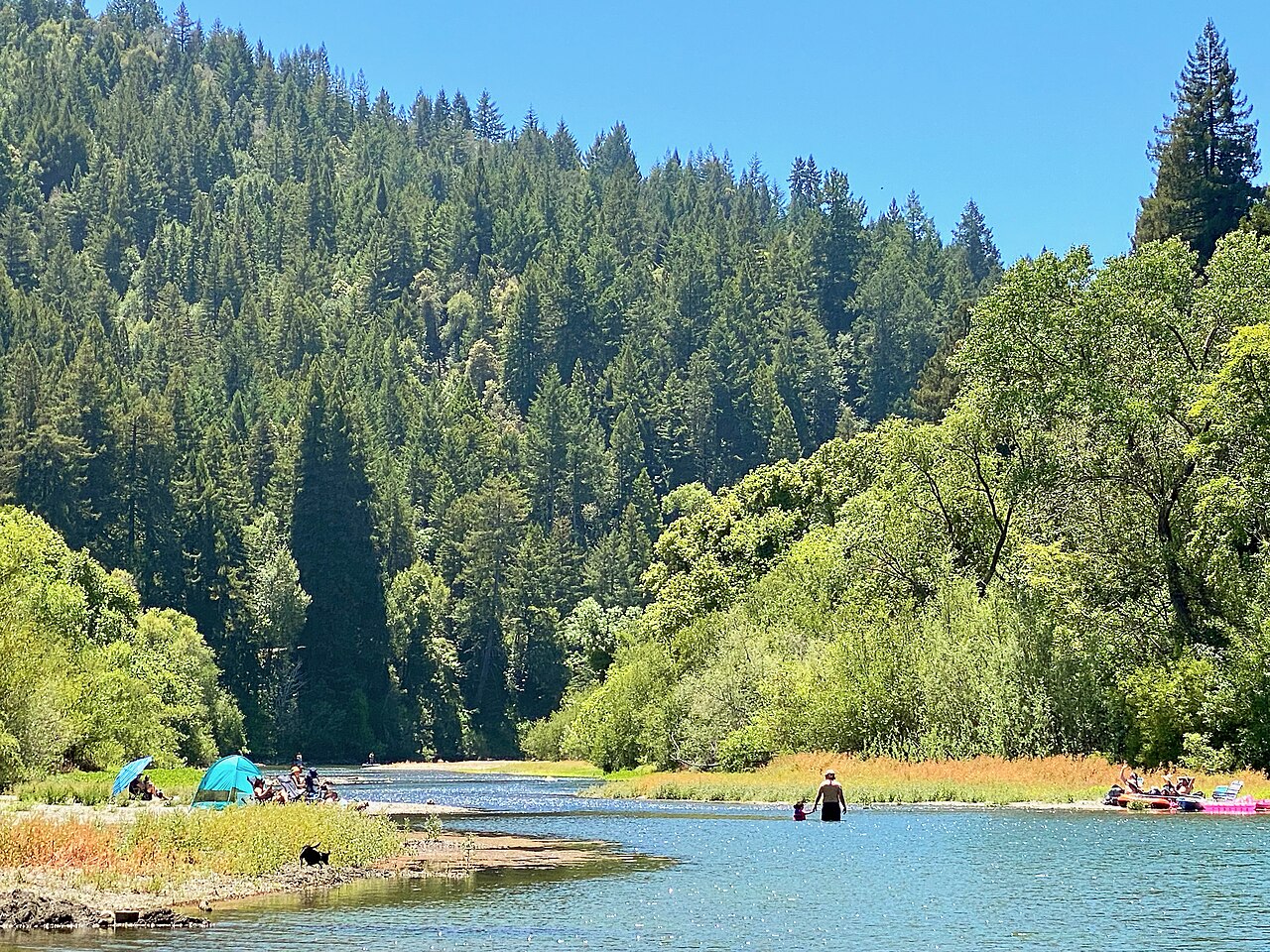
Russian River
Lagunitas Creek
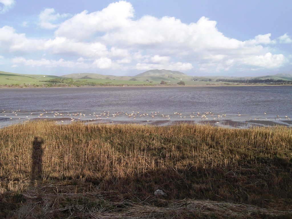
Tomales Bay
Mark West Creek
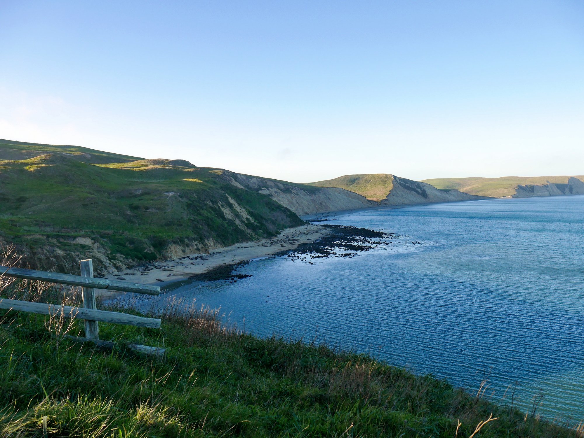
Drakes Bay
Napa River
Green Valley Creek

San Pablo Bay
Lake Berryessa
Explore California waters
Top paddling waters
Popular Cities
Loading popular cities...
Explore near Nicasio Reservoir
Access points
Nearby waters
More in California

Smarter Paddling Starts in the App.
Paddleways gives you everything you need to plan smarter, paddle better, and own every trip from first launch to takeout.