Green Valley Creek
Green Valley Creek
- Boat Ramps
- 0
- Access Points
- 0
- Campsites
- 1
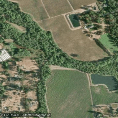
Green Valley Creek originates in the coastal hills west of Sebastopol in Sonoma County, California, flowing approximately 18.7 miles eastward through the communities of Occidental, Graton, and Forestville before joining the Russian River. This tributary system drains roughly 1,500 square miles of mixed forest, agricultural lands, and rural residential areas, with elevations ranging from approximately 100 feet at its confluence with the Russian River to 700 feet in the western headwaters. The watershed encompasses distinct subwatersheds, including Purrington Creek, which contributes vital summer flows to the system.
The creek flows through varied terrain—steep, forested slopes dominated by redwood and Douglas fir in the upper reaches transition to gently rolling hills with vineyards and orchards in the lower valley. Geology varies from the erosion-prone Franciscan Complex in steeper areas to Wilson Grove Formation sandstone in gentler terrain, creating a dynamic landscape that has shaped both the creek's character and its challenges.
Green Valley Creek holds critical importance as spawning and rearing habitat for endangered Central California Coast coho salmon and threatened steelhead trout. It ranks among only five remaining Russian River tributaries where wild juvenile coho are known to exist, making it a focal point for the Russian River Coho Salmon Captive Broodstock Program. The creek's ecological significance extends beyond salmonids—it provides habitat for California freshwater shrimp, California red-legged frogs, foothill yellow-legged frogs, and northwestern pond turtles.
The watershed faces significant management challenges. Channel incision has disconnected the creek from its floodplain in many reaches, reducing habitat complexity. Summer flows become critically low, with some sections going dry during drought years, threatening juvenile salmonids that depend on cool, connected pools for survival. Water diversions for agricultural and residential use—particularly during frost protection periods in spring—compound these low-flow conditions. Sedimentation from unpaved roads, streambank erosion, and historical land use practices continues to degrade habitat quality.
Riparian corridors vary considerably. Upper reaches maintain relatively intact native vegetation providing essential shade and woody debris recruitment, while lower sections show impacts from agricultural conversion and rural development. Restoration efforts focus on reducing erosion from rural roads, stabilizing streambanks using bioengineering techniques, restoring native riparian vegetation, installing large woody structures to create pool habitat, and developing off-stream water storage to reduce summer diversions.
The Russian River Watershed Resilience Program has identified Green Valley Creek as a priority for climate adaptation planning, recognizing that warming temperatures, altered precipitation patterns, and increased wildfire risk will intensify existing stressors. Conservation partnerships involving the Gold Ridge Resource Conservation District, California Department of Fish and Wildlife, NOAA Fisheries, and local landowners work collaboratively to balance agricultural sustainability with ecosystem recovery in this working landscape.
Water access, boat ramps & amenities
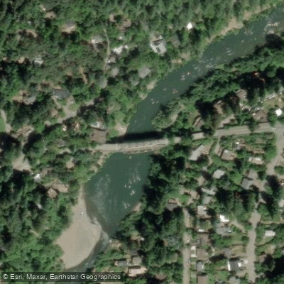
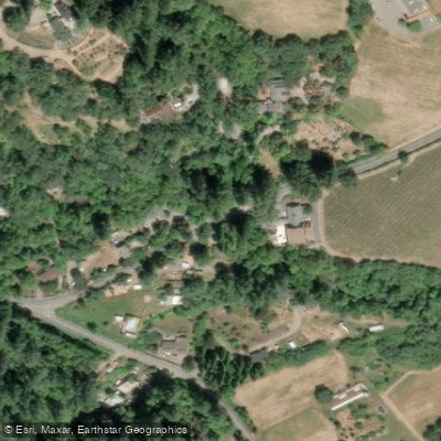
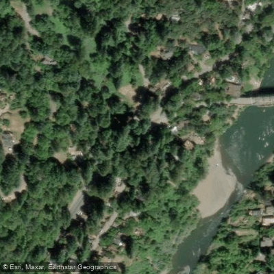
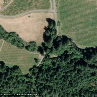
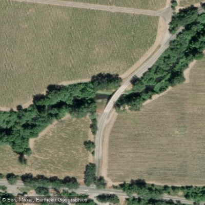
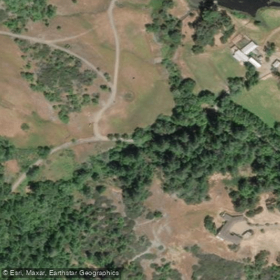
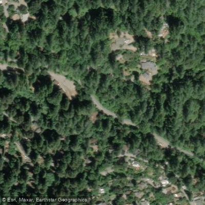
Learn how to get on Green Valley Creek. Uncover great paddling access points, boat ramps, and all the facilities you need for an unforgettable day on the water. Some locations shown may border or include private property. Always check property boundaries and applicable regulations before visiting. PaddleWays's Public & Private Land layer can help you plan your access with confidence.
Paddle smarter with real-time insights
Whether you're en route and conditions shift or you're looking for the best spot based on current flows, we enable you to make informed decisions on the fly.








Find Places to Paddle

Over 400,000 Places to Paddle
Every user gets free access to launch points, boat ramps, and public property parcels.


Water and weather conditions (10 day forecast)
See the best times to paddle Green Valley Creek and check the forecast before you go.
No forecast data available.
Paddling near Green Valley Creek
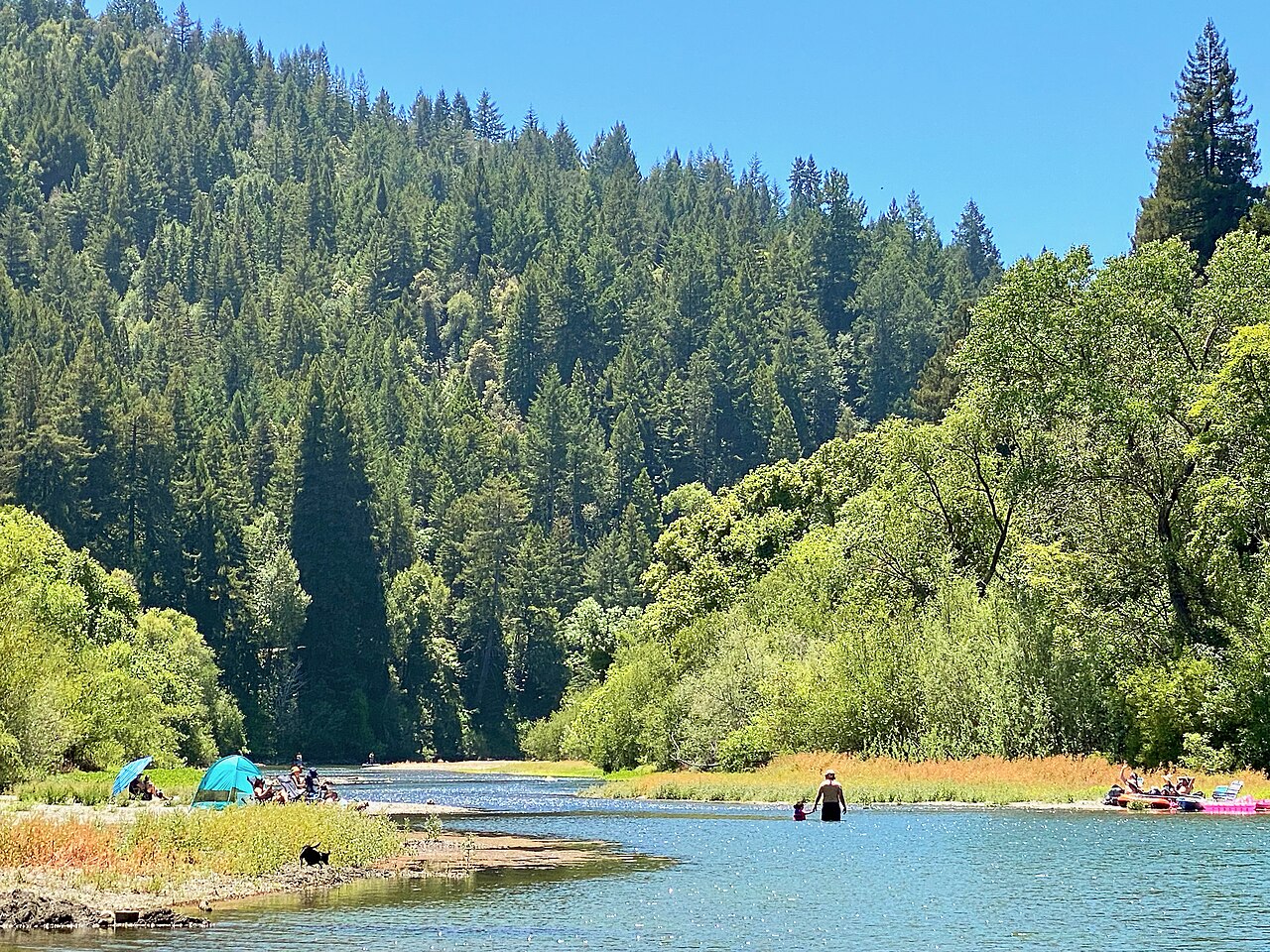
Russian River
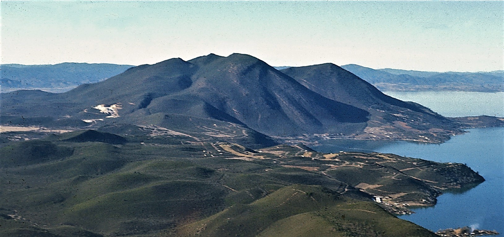
Clear Lake
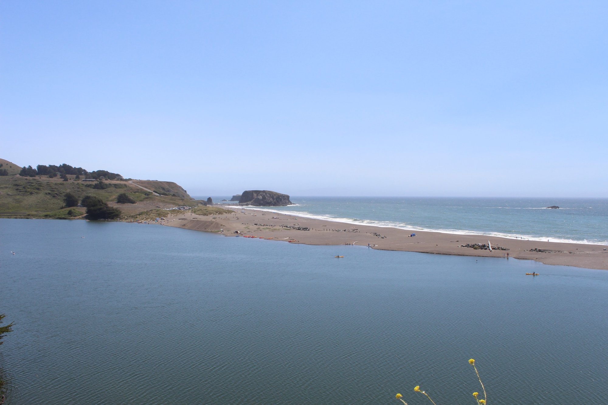
Bodega Bay
Lake Sonoma
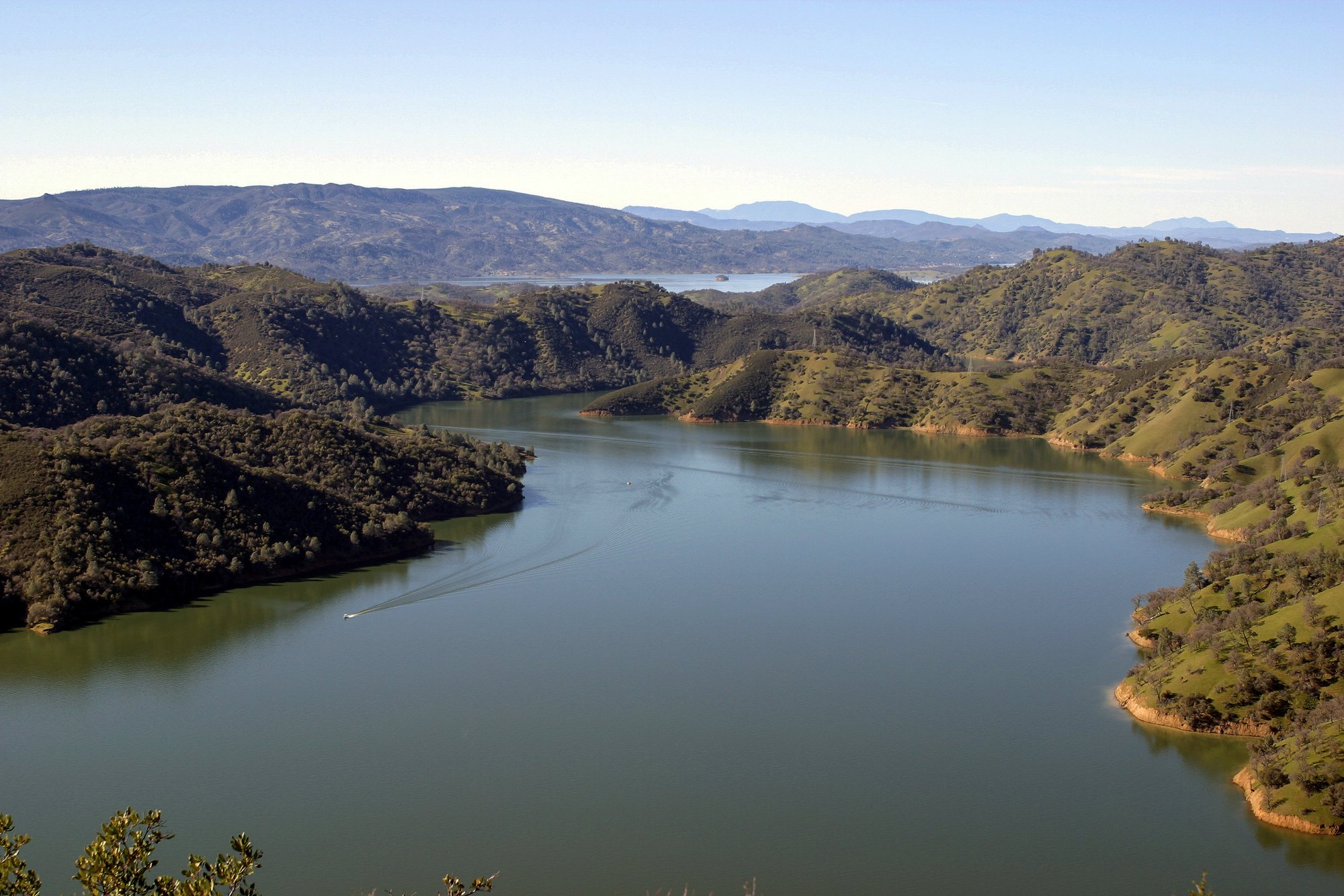
Lake Berryessa
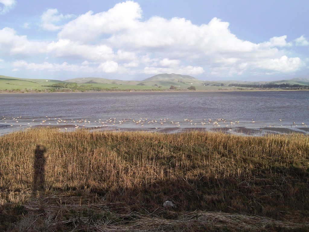
Tomales Bay
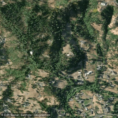
Mark West Creek
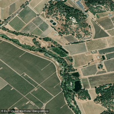
Napa River
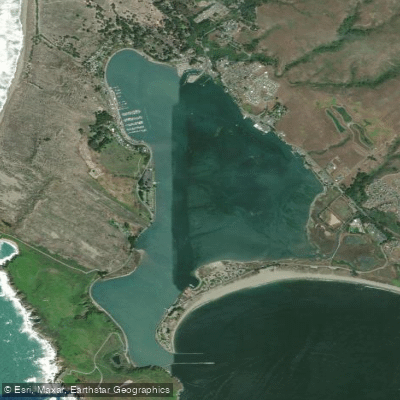
Bodega Harbor
Putah Creek
Explore California waters
Top paddling waters
Popular Cities
Loading popular cities...
Explore near Green Valley Creek
Access points
Nearby waters
More in California

Smarter Paddling Starts in the App.
Paddleways gives you everything you need to plan smarter, paddle better, and own every trip from first launch to takeout.