Lake Chabot
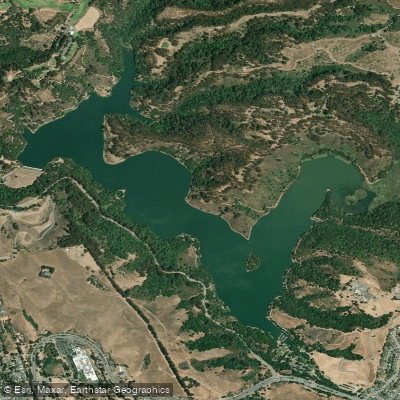
Lake Chabot
- Boat Ramps
- 1
- Access Points
- 2
- Campsites
- 6
Lake Chabot is a 315-acre reservoir in Castro Valley offering a peaceful paddling environment with 7 miles of shoreline. No motorized boats are permitted, creating calm waters ideal for kayakers of all skill levels. The lake serves as a standby emergency water supply, requiring specific regulations to maintain water quality.
Lake Chabot Marina provides access, though paddlers should note the challenging launch conditions. The boat launch area is in poor condition, with a dock that doesn't reach the water and a cement ramp that terminates before the waterline. Street parking is available as an alternative to the $5 parking fee, though it requires a longer carry to the launch site.
All private watercraft require a $4 inspection for quagga mussels, valid for 30 days, and a $3 launch fee. Kayak rentals are available at the marina. Personal flotation devices are mandatory for all boaters. The lake features several out-of-water docks around its perimeter, with Alder's Point, located about a mile north of the boat launch, offering a good rest stop with benches and scenic views.
Wildlife viewing opportunities include deer, raccoons, herons, cormorants, pelicans, and various waterfowl. The northern section near Grass Valley Creek is particularly peaceful, especially in the morning hours. The east area near San Leandro Creek tends to be shallow and attracts abundant birdlife.
Hazards include algae blooms during low water conditions, rocky shores limiting landing options, and morning fog. Facilities include a marina café, bait shop, restrooms accessible from the water, and fish-cleaning stations. The perimeter measures approximately 5.25 miles, with hiking trails along the western and southern shores providing good shoreline reference points.
Originally constructed in 1874-75 as a primary water source for the East Bay, the lake remained closed to recreation for 91 years until legislation in the 1960s permitted controlled recreational use.
Water access, boat ramps & amenities
Learn how to get on Lake Chabot. Uncover great paddling access points, boat ramps, and all the facilities you need for an unforgettable day on the water. Some locations shown may border or include private property. Always check property boundaries and applicable regulations before visiting. PaddleWays's Public & Private Land layer can help you plan your access with confidence.
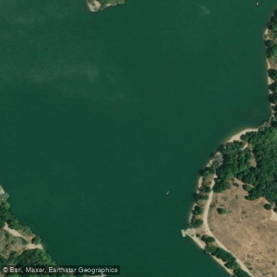
Paddle smarter with real-time insights
Whether you're en route and conditions shift or you're looking for the best spot based on current flows, we enable you to make informed decisions on the fly.








Find Places to Paddle

Over 400,000 Places to Paddle
Every user gets free access to launch points, boat ramps, and public property parcels.


Water and weather conditions (10 day forecast)
See the best times to paddle Lake Chabot and check the forecast before you go.
No forecast data available.
Paddling near Lake Chabot

San Joaquin River

Sacramento River

San Francisco Bay

Mokelumne River

San Pablo Bay
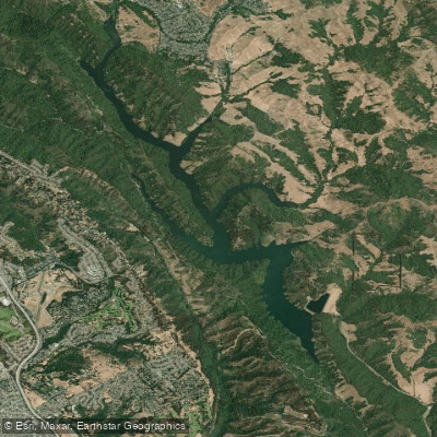
Upper San Leandro Reservoir
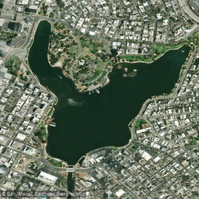
Lake Merritt
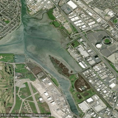
San Leandro Bay
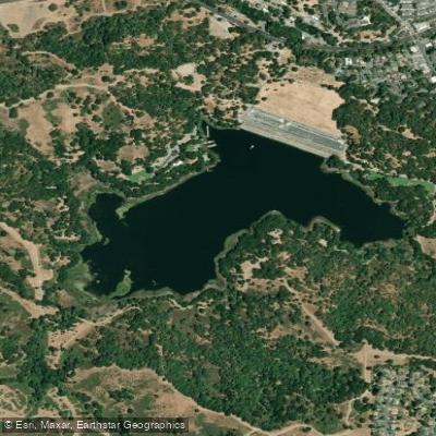
Lafayette Reservoir
Explore California waters
Top paddling waters
Popular Cities
Loading popular cities...
Explore near Lake Chabot
Access points
- Lake Chabot Marina Boat Ramp
- Chabot Reservoir Access
- San Leandro Creek Bridge
- San Leandro Creek Bridge
- San Leandro Creek Bridge
- San Leandro Creek Bridge
- San Leandro Creek Bridge
- San Leandro Creek Bridge
- San Lorenzo Creek Bridge
- San Lorenzo Creek Bridge
- San Leandro Creek Bridge
- San Lorenzo Creek Bridge
- All 41 spots
Nearby waters
More in California

Smarter Paddling Starts in the App.
Paddleways gives you everything you need to plan smarter, paddle better, and own every trip from first launch to takeout.