San Leandro Bay
- Saltwater
- Bay
San Leandro Bay
- Saltwater
- Bay
- Sq. miles
- 0.3
- Boat Ramps
- 1
- Access Points
- 0
- Campsites
- 3
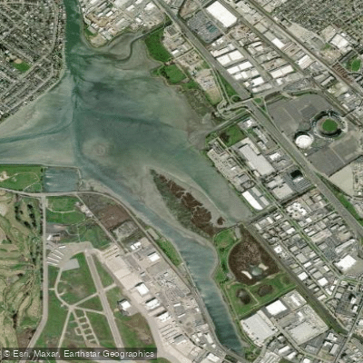
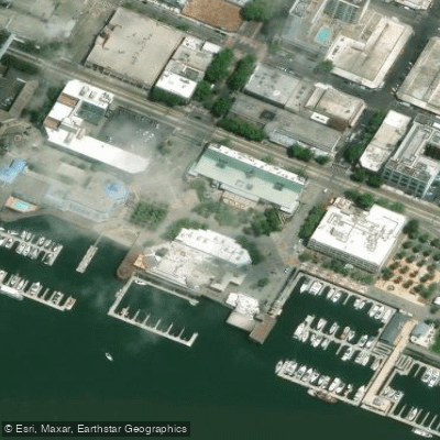
San Leandro Bay is a shallow, sheltered saltwater bay located between Oakland and the Oakland International Airport. It serves as a quiet refuge for paddlers, offering flat-water conditions suitable for beginners while also providing access to more open waters for experienced paddlers. The primary public launch point is at Martin Luther King Jr. Regional Shoreline, which features a boat ramp, parking, restrooms, and picnic areas. A launch site is also available along Doolittle Drive and the Airport Channel, where a renovated boat launch provides improved water access. The bay is quite shallow in parts, so paddlers should check tide charts and stay in the channel during low tides to avoid grounding. The waters are generally calm and protected, though paddlers heading east into San Francisco Bay or north into the Oakland Estuary will encounter more open conditions and should be prepared for wind and potential boat traffic. The Oakland Estuary features shipping channels, and destinations like Jack London Square have restaurants and a kayak shop. Notable sights from the water include Arrowhead Marsh, a significant tidal marsh and bird habitat on the bay's edge, and views of aircraft taking off and landing at the nearby airport. Paddlers may also spot shorebirds, harbor seals, leopard sharks, and bat rays. A trip east into the larger bay allows for a paddle to Robert Crown State Beach or to view the USS Hornet museum ship. The area is accessible year-round, with no fees for parking or launching at the regional shoreline.
Water access, boat ramps & amenities
Learn how to get on San Leandro Bay. Uncover great paddling access points, boat ramps, and all the facilities you need for an unforgettable day on the water. Some locations shown may border or include private property. Always check property boundaries and applicable regulations before visiting. PaddleWays's Public & Private Land layer can help you plan your access with confidence.
Paddle smarter with real-time insights
Whether you're en route and conditions shift or you're looking for the best spot based on current flows, we enable you to make informed decisions on the fly.








Find Places to Paddle

Over 400,000 Places to Paddle
Every user gets free access to launch points, boat ramps, and public property parcels.


Tides, wind & water conditions (10 day forecast)
On open water, wind and tide matter as much as the weather. See the best times to paddle San Leandro Bay and check the marine forecast before you launch.
Loading tide predictions…
Paddling near San Leandro Bay

San Joaquin River

Sacramento River

San Francisco Bay

Mokelumne River
Upper San Leandro Reservoir

San Pablo Bay
Lake Merritt
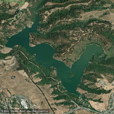
Lake Chabot
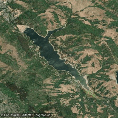
San Pablo Reservoir
Explore California waters
Top paddling waters
Popular Cities
Loading popular cities...
Explore near San Leandro Bay
Access points
Nearby waters
More in California

Smarter Paddling Starts in the App.
Paddleways gives you everything you need to plan smarter, paddle better, and own every trip from first launch to takeout.