Lake Piru
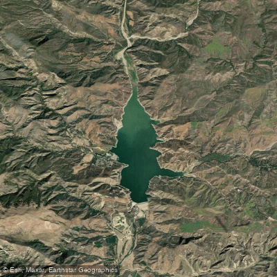
Lake Piru
- Boat Ramps
- 2
- Access Points
- 3
- Campsites
- 0
Lake Piru, located in the Los Padres National Forest of Ventura County, California, offers a unique paddling experience with some important restrictions. Paddling is only permitted in the "Narrows," the northernmost section of the lake, which provides a 7-mile paddle when water levels are at full capacity. During low water or drought conditions, the paddling area may be reduced.
The lake is open from 6:30 a.m. to 7 p.m. year-round, with spring being particularly beautiful for paddling when crowds are minimal and the surroundings are lush and green. Launch ramps are available for kayaks and other watercraft. Personal watercraft (PWCs) are limited to 20 units on the reservoir at any given time.
Wildlife enthusiasts will appreciate the diverse fauna visible while paddling, including deer, bobcats, mountain lions, and bears. The lake boasts an abundance of fish species, making it popular among kayak anglers. Largemouth bass, catfish, northern black bass, brown trout, bluegill, crappie, and redear sunfish populate the waters.
Paddlers should be aware of the 5 mph buoy line at the reservoir's south end near Santa Felicia Dam, which remains closed to all vessels. When exiting the lake, kayakers are required to paddle along the western shore and take out at the marina.
Lake Piru offers various amenities, including a tree-shaded campground with 238 sites, restrooms, showers, and laundry facilities. The Condor Point Store provides essentials like drinks, snacks, and ice. Additional recreational activities include fishing, waterskiing, and swimming in designated areas from Memorial Day to Labor Day.
Created in 1955 as a reservoir for the United Water Conservation District, Lake Piru serves as both a recreational destination and an important water resource. Its picturesque setting in the national forest provides an escape from urban life, all within an hour's drive from Los Angeles.
Water access, boat ramps & amenities
Learn how to get on Lake Piru. Uncover great paddling access points, boat ramps, and all the facilities you need for an unforgettable day on the water. Some locations shown may border or include private property. Always check property boundaries and applicable regulations before visiting. PaddleWays's Public & Private Land layer can help you plan your access with confidence.
Paddle smarter with real-time insights
Whether you're en route and conditions shift or you're looking for the best spot based on current flows, we enable you to make informed decisions on the fly.








Find Places to Paddle

Over 400,000 Places to Paddle
Every user gets free access to launch points, boat ramps, and public property parcels.


Water and weather conditions (10 day forecast)
See the best times to paddle Lake Piru and check the forecast before you go.
PIRU CREEK ABOVE LAKE PIRU CA
All Flow Stations
Paddling near Lake Piru
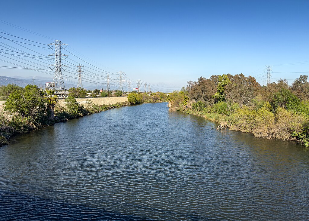
San Gabriel River
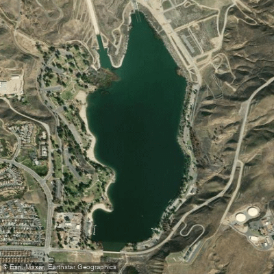
Castaic Lagoon
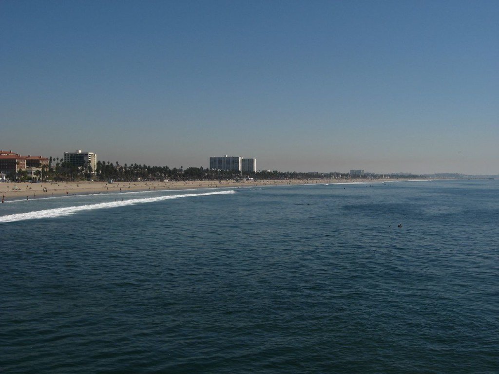
Santa Monica Bay

Piru Creek
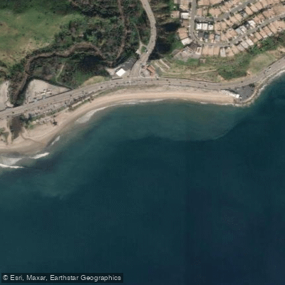
Topanga Beach
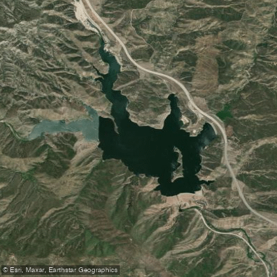
Pyramid Lake
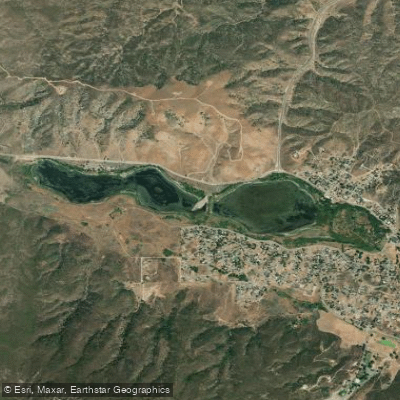
Elizabeth Lake
Will Rogers State Beach
Sespe Creek
Explore California waters
Top paddling waters
Popular Cities
Loading popular cities...
Explore near Lake Piru
Access points
Nearby waters
More in California

Smarter Paddling Starts in the App.
Paddleways gives you everything you need to plan smarter, paddle better, and own every trip from first launch to takeout.