Santa Monica Bay
- Saltwater
- Bay
Santa Monica Bay
- Saltwater
- Bay
- Sq. miles
- 184
- Boat Ramps
- 3
- Access Points
- 19
- Campsites
- 5
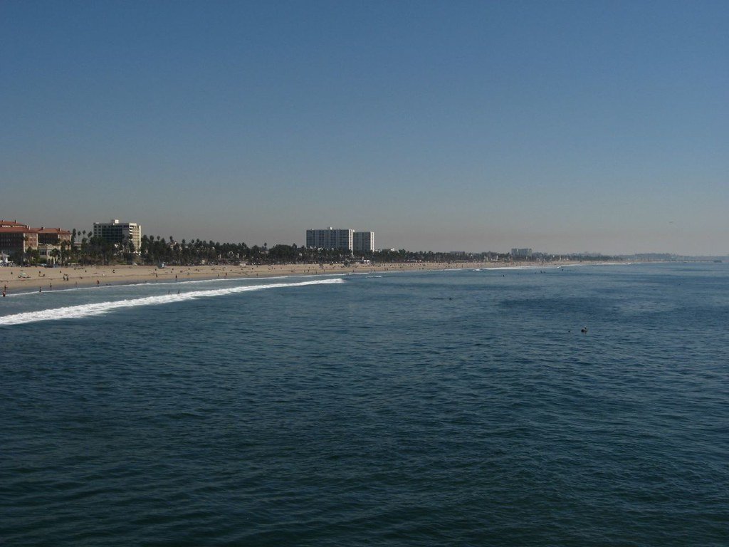
Santa Monica Bay is a large coastal bay on the Pacific Ocean, stretching from Point Dume in Malibu to the Palos Verdes Peninsula. Its extensive coastline features iconic beaches and piers, including Santa Monica State Beach, Venice Beach, and the South Bay cities. The bay's open ocean coastline is exposed to the prevailing winds and swell of the Pacific, creating surf zones at beach entries. For paddlers seeking protected conditions, Marina del Rey harbor, located along the bay's edge, offers a stark contrast. This large harbor is sheltered by a detached breakwater and features a network of calm basins and channels governed by no-wake rules, making it accessible for beginners. The primary launch point within the harbor is at Basin D near Mother's Beach, which provides a sandy beach entry. Paddling is restricted inside the harbor for sit-on-top kayaks; they cannot be taken past the jetties or breakwater into the open bay. Venturing into the open waters of Santa Monica Bay requires greater skill due to exposure. The Marina Aquatic Center, a local operator, enforces strict safety protocols that highlight key hazards. Water activities are suspended for winds exceeding 20 knots, during fog or low visibility when the opposite shore is not visible, during lightning storms, and for a minimum of 48 hours following significant rainfall due to water quality concerns. The harbor environment offers sightings of wildlife such as sea lions near Fisherman's Village and various birds. The overall paddling experience can range from the serene, glassy conditions of a protected marina in the morning to the dynamic, wind-affected open coast, demanding careful trip planning based on weather, season, and skill level.
Water access, boat ramps & amenities
Learn how to get on Santa Monica Bay. Uncover great paddling access points, boat ramps, and all the facilities you need for an unforgettable day on the water. Some locations shown may border or include private property. Always check property boundaries and applicable regulations before visiting. PaddleWays's Public & Private Land layer can help you plan your access with confidence.
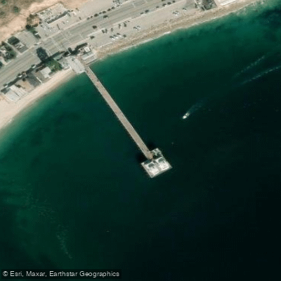
Malibu Pier Access
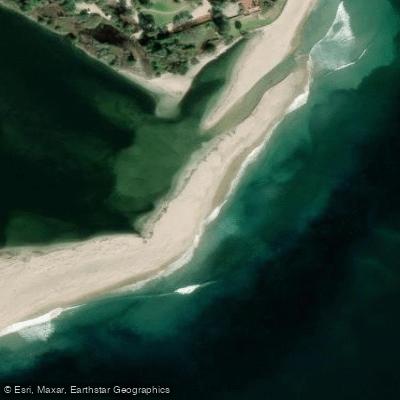
Malibu Lagoon Access
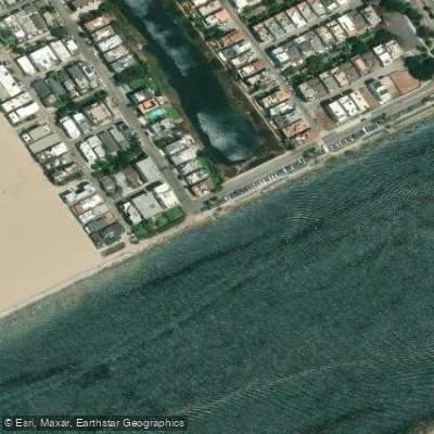
Aubrey E. Austin, Jr. Memorial Park Access
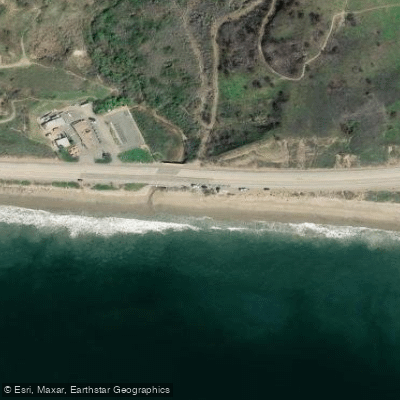
Dan Blocker County Beach Access
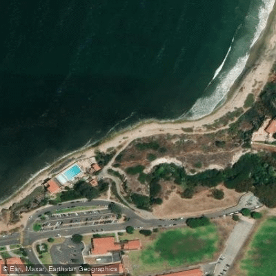
Malaga Cove Access
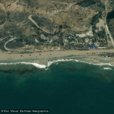
Las Tunas Beach Access
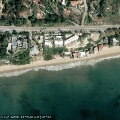
Escondido Beach Access
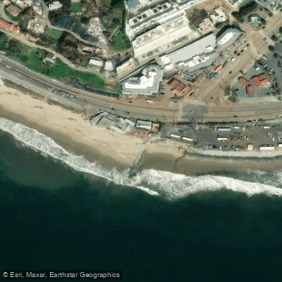
Will Rogers State Beach Access
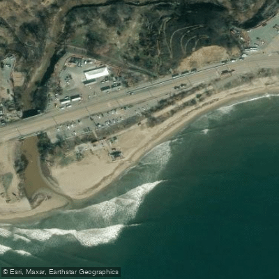
Topanga Beach Access
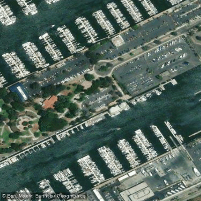
Burton Chace Park Access
Paddle smarter with real-time insights
Whether you're en route and conditions shift or you're looking for the best spot based on current flows, we enable you to make informed decisions on the fly.








Find Places to Paddle

Over 400,000 Places to Paddle
Every user gets free access to launch points, boat ramps, and public property parcels.


Tides, wind & water conditions (10 day forecast)
On open water, wind and tide matter as much as the weather. See the best times to paddle Santa Monica Bay and check the marine forecast before you launch.
Loading tide predictions…
Paddling near Santa Monica Bay
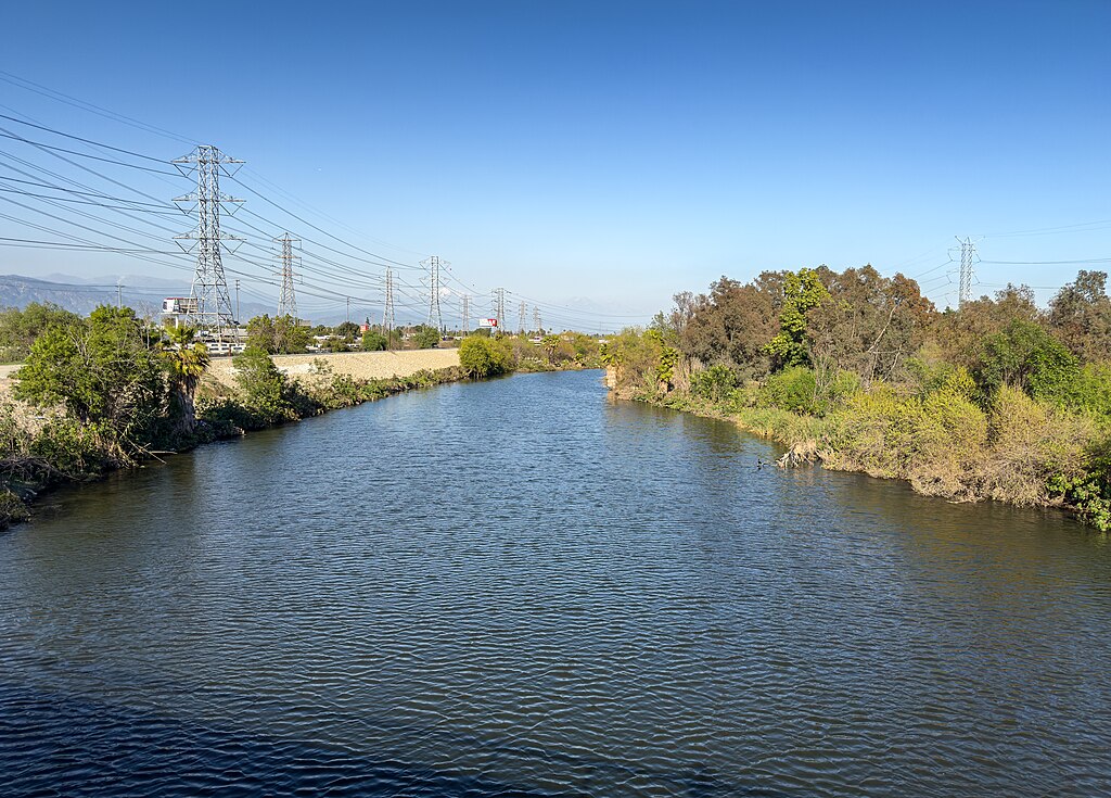
San Gabriel River
Santa Ana River
Los Angeles River
Cogswell Reservoir
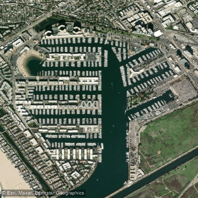
Marina del Rey
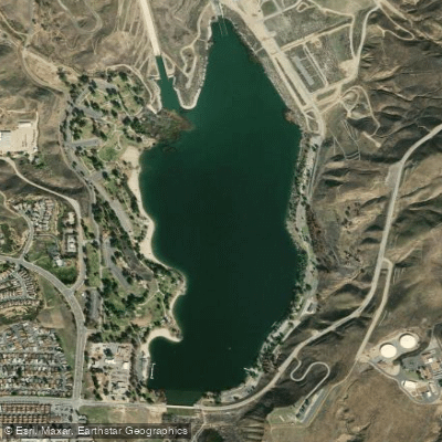
Castaic Lagoon

Piru Creek
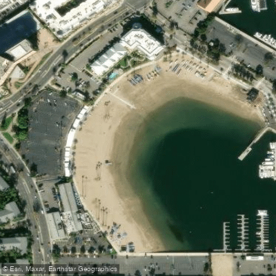
Mother's Beach
Explore California waters
Top paddling waters
Popular Cities
Loading popular cities...
Explore near Santa Monica Bay
Access points
- Redondo Beach Boat Ramp
- Marina Del Rey Boat Ramp
- Malibu Pier Access
- Malibu Lagoon Access
- Aubrey E. Austin, Jr. Memorial Park Access
- Dan Blocker County Beach Access
- Malaga Cove Access
- Las Tunas Beach Access
- Escondido Beach Access
- Will Rogers State Beach Access
- Topanga Beach Access
- Burton Chace Park Access
- All 50 spots
Nearby waters
More in California

Smarter Paddling Starts in the App.
Paddleways gives you everything you need to plan smarter, paddle better, and own every trip from first launch to takeout.