Little Rock Reservoir
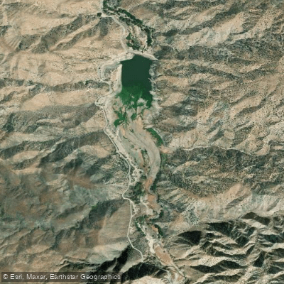
Little Rock Reservoir
- Boat Ramps
- 1
- Access Points
- 1
- Campsites
- 0
Little Rock Reservoir is located in Los Angeles County, California, set against the backdrop of the Angeles National Forest. This 126-acre reservoir was constructed in 1924 and is situated along Little Rock Creek, a tributary of the Mojave River.
Physical Characteristics: - Surface area: 126 acres - Storage capacity: 4,600 acre-feet - Dam height: 124 feet - Fed by runoff from the San Gabriel Mountains and snowpack during winter months
Recreation and Access: The reservoir and surrounding Littlerock Recreation Area offer opportunities for boating and fishing, with rainbow trout being a target species for anglers. The area supports various outdoor activities including: - Boating - Fishing - Picnicking - Hiking - Horseback riding - Camping
The reservoir serves multiple purposes beyond recreation, functioning as a water supply source and flood control facility for surrounding communities including Palmdale and Lancaster. While the California Aqueduct now handles primary water distribution, Little Rock Reservoir remains an important backup storage system.
Natural Setting: The area features diverse wildlife and is surrounded by the majestic Angeles National Forest. The Southern California climate allows for year-round outdoor activities, though winter brings additional recreational opportunities with skiing available at nearby Mount Waterman.
Management: The reservoir is managed by the California Department of Water Resources and undergoes regular dam safety inspections. The most recent condition assessment in September 2017 rated the dam as satisfactory, with an emergency action plan last updated in February 2020.
Historical Significance: The reservoir and Littlerock Dam originally played a vital role in providing water for local farming communities. Today, while its primary water distribution role has diminished, it remains an important part of the regional landscape and continues to support local agricultural activities, including irrigation for crops such as grapes, almonds, and pistachios.
Water access, boat ramps & amenities
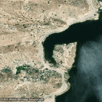
Learn how to get on Little Rock Reservoir. Uncover great paddling access points, boat ramps, and all the facilities you need for an unforgettable day on the water. Some locations shown may border or include private property. Always check property boundaries and applicable regulations before visiting. PaddleWays's Public & Private Land layer can help you plan your access with confidence.
Paddle smarter with real-time insights
Whether you're en route and conditions shift or you're looking for the best spot based on current flows, we enable you to make informed decisions on the fly.








Find Places to Paddle

Over 400,000 Places to Paddle
Every user gets free access to launch points, boat ramps, and public property parcels.


Water and weather conditions (10 day forecast)
See the best times to paddle Little Rock Reservoir and check the forecast before you go.
No forecast data available.
Paddling near Little Rock Reservoir
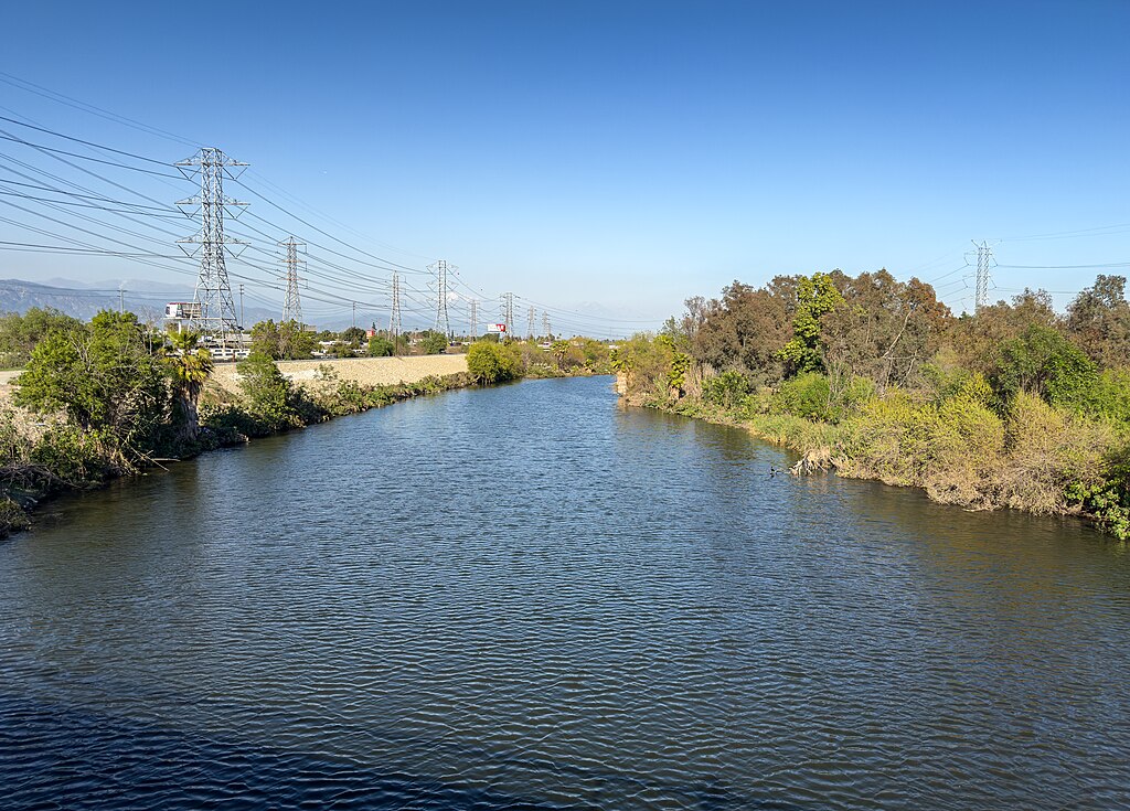
San Gabriel River
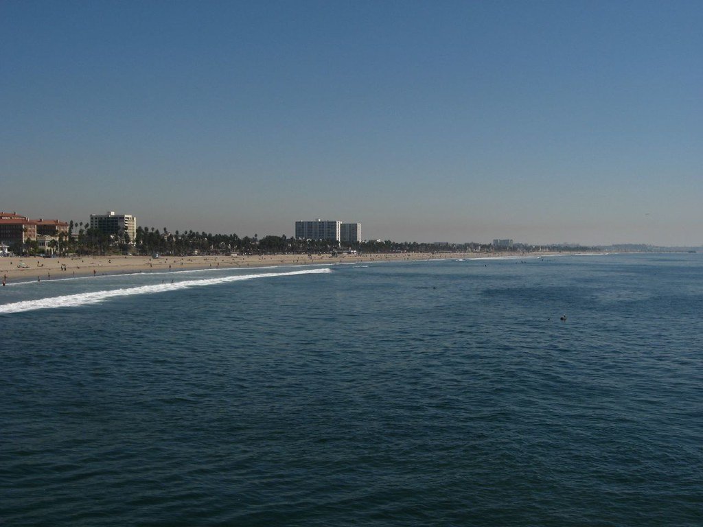
Santa Monica Bay
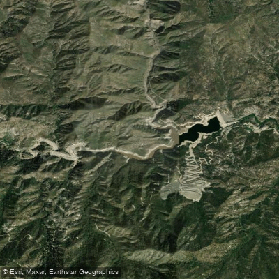
Cogswell Reservoir
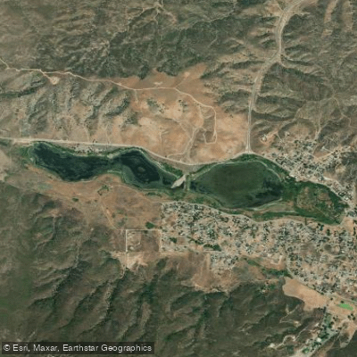
Elizabeth Lake
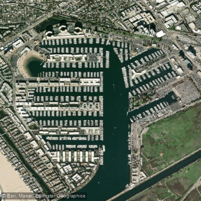
Marina del Rey
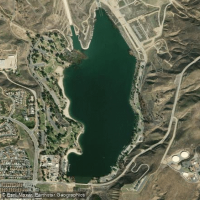
Castaic Lagoon
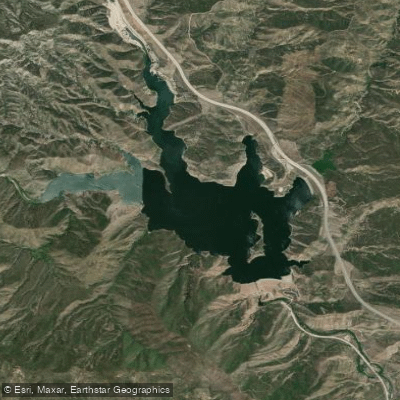
Pyramid Lake
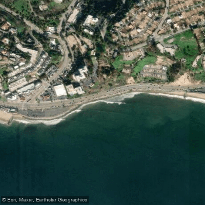
Will Rogers State Beach
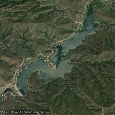
Morris Reservoir
Explore California waters
Top paddling waters
Popular Cities
Loading popular cities...
Explore near Little Rock Reservoir
Access points
Nearby waters
More in California

Smarter Paddling Starts in the App.
Paddleways gives you everything you need to plan smarter, paddle better, and own every trip from first launch to takeout.