Morris Reservoir
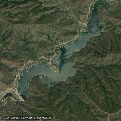
Morris Reservoir
- Boat Ramps
- 0
- Access Points
- 1
- Campsites
- 3
Morris Reservoir is located in the San Gabriel Mountains within Angeles National Forest, approximately 5 miles north of Azusa, California. The reservoir, created by Morris Dam in 1935, sits at an elevation of about 1,100 feet.
IMPORTANT NOTICE: Paddling and all water recreation is prohibited on Morris Reservoir. The site formerly served as a naval weapons test facility from World War II through the 1990s, and while it was transferred to the Los Angeles County Department of Public Works in 1995, public access remains restricted. The area is actively patrolled both by ground units and helicopter surveillance, with significant fines imposed for violations.
The reservoir extends along California State Route 39 and is situated just downstream from San Gabriel Dam. The 245-foot gravity dam creates a substantial impoundment that served historically as a testing ground for submarine-based warfare systems, torpedoes, and the Polaris missile program. While most testing facility buildings have been removed as part of restoration efforts, the site's military legacy continues to impact public access.
The surrounding landscape features the characteristic steep terrain of the San Gabriel Mountains. While the reservoir itself is off-limits, the surrounding area is notable for its position within the Angeles National Forest ecosystem. The site is undergoing restoration to return it to a more natural state, though timeline and future public access plans remain unclear.
Given the strict prohibition on water access and the serious enforcement measures in place, paddlers should instead consider nearby alternatives such as Puddingstone Reservoir in San Dimas, which offers designated launch areas and permitted water recreation.
Water access, boat ramps & amenities
Learn how to get on Morris Reservoir. Uncover great paddling access points, boat ramps, and all the facilities you need for an unforgettable day on the water. Some locations shown may border or include private property. Always check property boundaries and applicable regulations before visiting. PaddleWays's Public & Private Land layer can help you plan your access with confidence.
Paddle smarter with real-time insights
Whether you're en route and conditions shift or you're looking for the best spot based on current flows, we enable you to make informed decisions on the fly.








Find Places to Paddle

Over 400,000 Places to Paddle
Every user gets free access to launch points, boat ramps, and public property parcels.


Water and weather conditions (10 day forecast)
See the best times to paddle Morris Reservoir and check the forecast before you go.
No forecast data available.
Paddling near Morris Reservoir
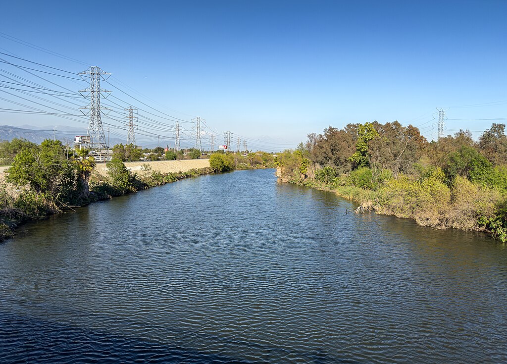
San Gabriel River
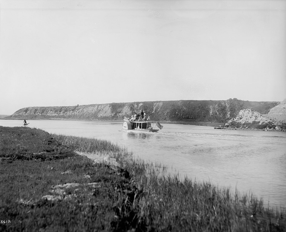
Santa Ana River
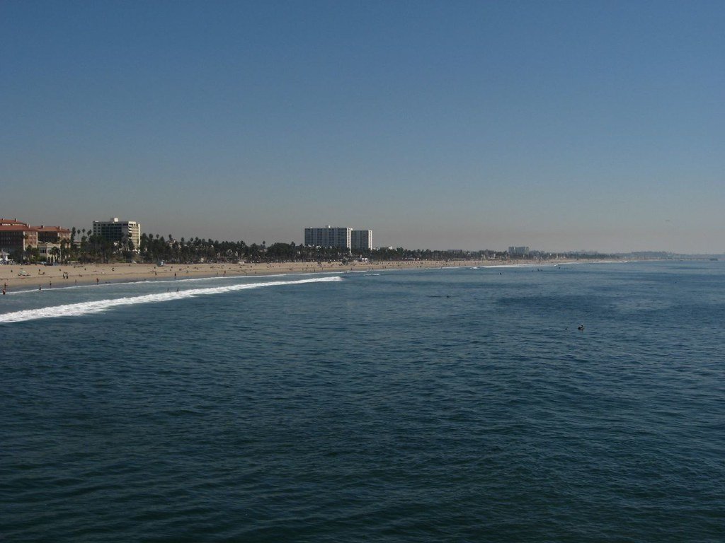
Santa Monica Bay
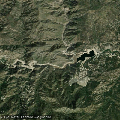
Cogswell Reservoir
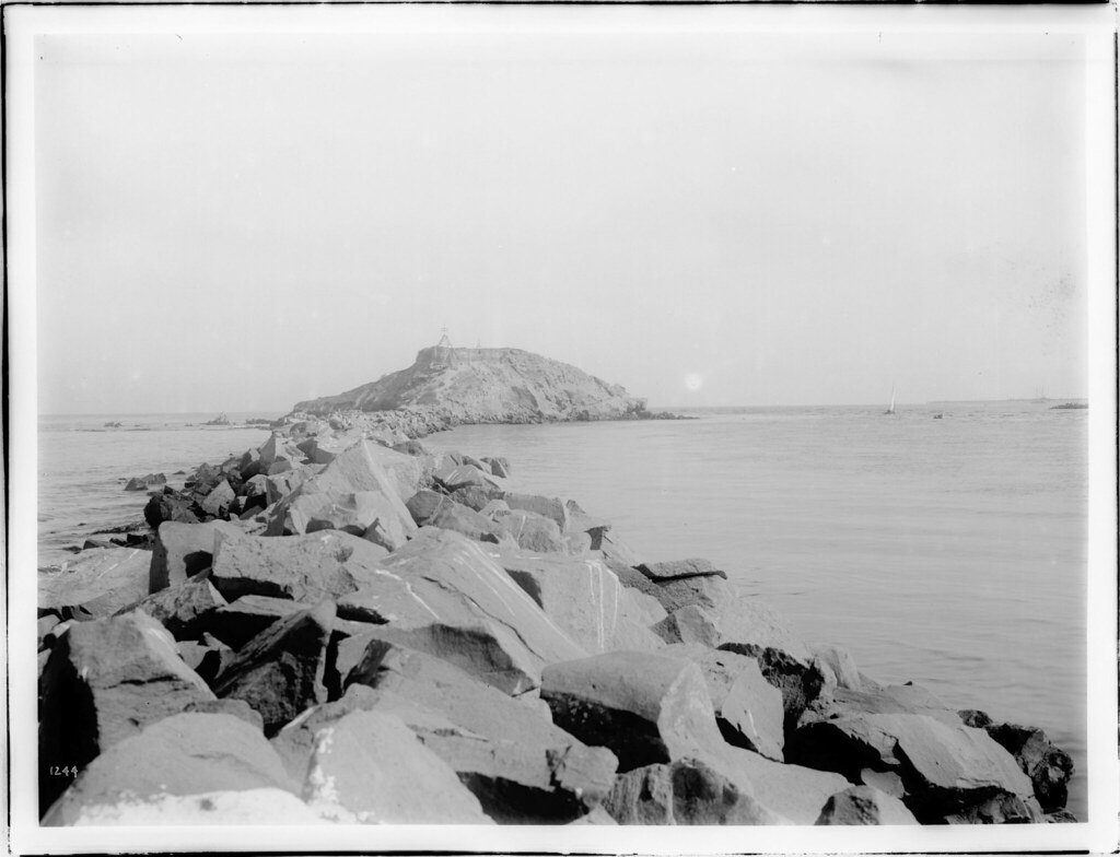
San Pedro Bay
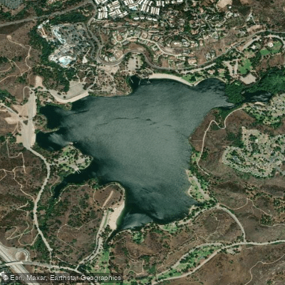
Puddingstone Reservoir
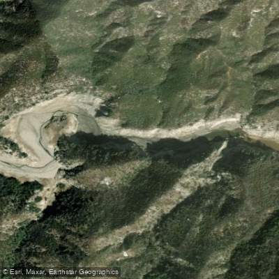
West Fork San Gabriel River
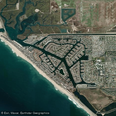
Huntington Harbour
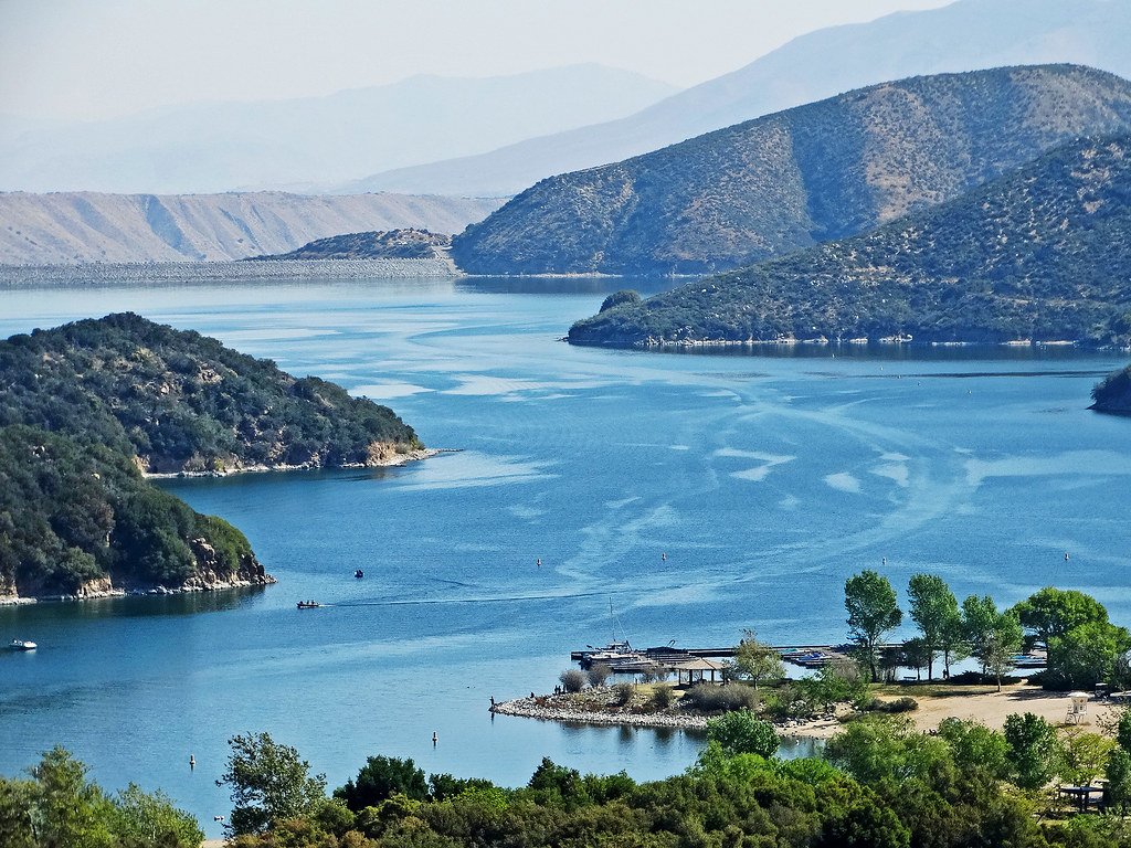
Silverwood Lake
Explore California waters
Top paddling waters
Popular Cities
Loading popular cities...
Explore near Morris Reservoir
Access points
Nearby waters
More in California

Smarter Paddling Starts in the App.
Paddleways gives you everything you need to plan smarter, paddle better, and own every trip from first launch to takeout.