Cogswell Reservoir
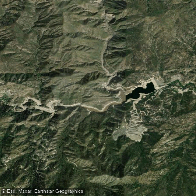
Cogswell Reservoir
- Boat Ramps
- 0
- Access Points
- 0
- Campsites
- 11
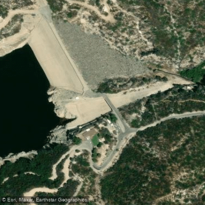
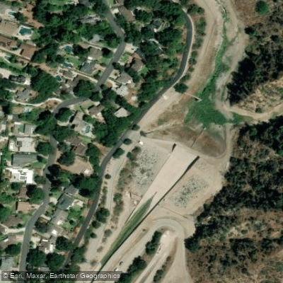
Cogswell Reservoir lies within California's Angeles National Forest, created by a 266-foot rockfill dam completed in 1935. The reservoir, with a storage capacity of 8,969 acre-feet, is primarily used for flood control, hydroelectric power, and water supply.
For paddlers, access is available via Cogswell Dam, though current regulations restrict vehicle access on West Fork Road. The West Fork San Gabriel River flows through the reservoir, which appears as a significant widening in the otherwise narrow river canyon. The reservoir is surrounded by steep, rugged terrain characteristic of the San Gabriel Wilderness, with impressive waterfalls visible from the water, particularly on the river's right bank.
Advanced paddlers should note that while the reservoir itself offers flat water paddling opportunities, the West Fork San Gabriel River both above and below the reservoir presents challenging whitewater conditions requiring significant rainfall to be navigable. The section above the reservoir winds through a roadless wilderness area with steep, impassable cliffs and limited escape routes.
When the reservoir is at lower levels (as observed at 1/3 capacity), paddlers can observe interesting geological features including incised sediments and deep cobble bars. The surrounding landscape showcases a mix of mosses, ferns, and fir trees, creating a distinctly wilderness atmosphere.
Following the 2020 Bobcat Fire, the U.S. Forest Service implemented specific access restrictions, and the area continues to undergo post-fire restoration work. Paddlers should check current regulations and access restrictions before planning their visit, as the West Fork Access Road has been subject to periodic closures for safety concerns.
The reservoir serves as a crucial point in the San Gabriel watershed, acting as both a destination for flat water paddling and a transition point between upper and lower sections of the West Fork San Gabriel River.
Water access, boat ramps & amenities
Learn how to get on Cogswell Reservoir. Uncover great paddling access points, boat ramps, and all the facilities you need for an unforgettable day on the water. Some locations shown may border or include private property. Always check property boundaries and applicable regulations before visiting. PaddleWays's Public & Private Land layer can help you plan your access with confidence.
Paddle smarter with real-time insights
Whether you're en route and conditions shift or you're looking for the best spot based on current flows, we enable you to make informed decisions on the fly.








Find Places to Paddle

Over 400,000 Places to Paddle
Every user gets free access to launch points, boat ramps, and public property parcels.


Water and weather conditions (10 day forecast)
See the best times to paddle Cogswell Reservoir and check the forecast before you go.
No forecast data available.
Paddling near Cogswell Reservoir
San Gabriel River
Santa Ana River
Santa Monica Bay
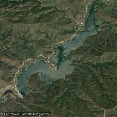
Morris Reservoir
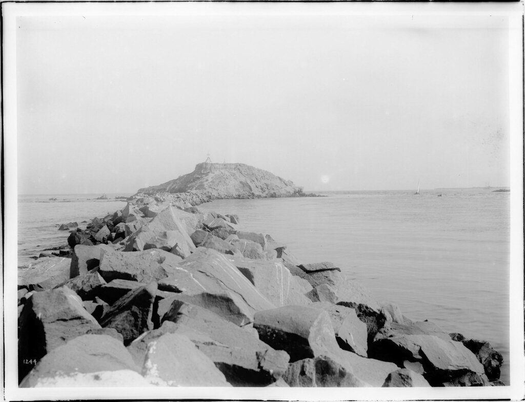
San Pedro Bay
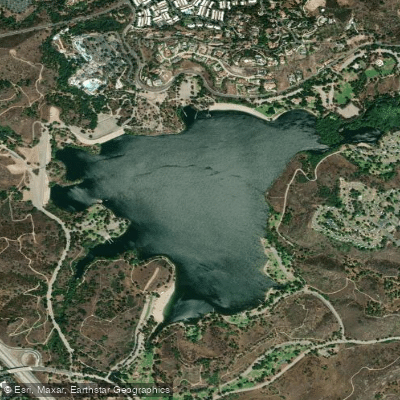
Puddingstone Reservoir
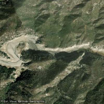
West Fork San Gabriel River
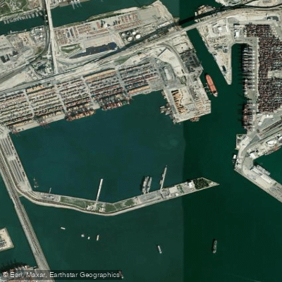
Los Angeles Harbor
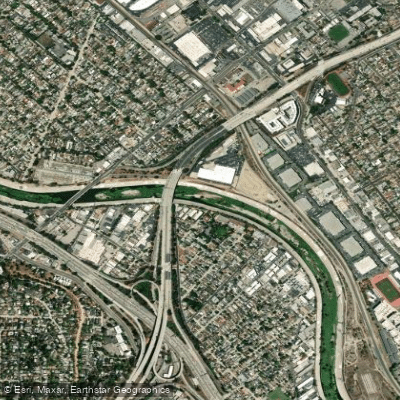
Los Angeles River
Explore California waters
Top paddling waters
Popular Cities
Loading popular cities...
Explore near Cogswell Reservoir
Access points
Nearby waters
More in California

Smarter Paddling Starts in the App.
Paddleways gives you everything you need to plan smarter, paddle better, and own every trip from first launch to takeout.