Los Banos Reservoir
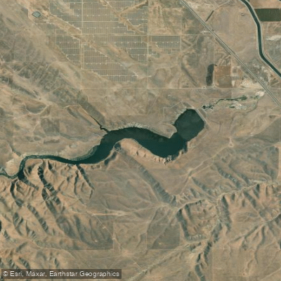
Los Banos Reservoir
- Boat Ramps
- 1
- Access Points
- 2
- Campsites
- 1
Los Banos Reservoir is a 620-acre impoundment with 12 miles of shoreline located in California's San Joaquin Valley. The entire lake has a 5 MPH speed limit, making it conducive to paddling without interference from high-speed boat traffic. Operating hours are sunrise to sunset only, with no boats permitted on the water overnight.
Access is available via a boat launch ramp with 12 parking spaces for vehicles with trailers and one boarding float. The facility includes chemical toilets and drinking water. Canyon Road from I-5 leads to the park entrance and boat launch area.
The reservoir is known for significant wind conditions, which paddlers should carefully consider when planning trips. Wind warning systems are in place throughout the recreation area, with lights indicating when conditions become hazardous. Water quality can be a concern - swimming is not permitted due to algae issues.
The reservoir supports diverse wildlife, particularly birds, and offers excellent fishing opportunities for largemouth bass, bluegill, crappie, catfish, and trout. State Parks offers guided kayak tours during summer months, beginning at 8:30 AM - call (209) 826-1197 for reservations.
Los Banos Creek Reservoir is part of the larger San Luis Joint-Use Complex and Central Valley Project. The Path of the Padres, a historic trail that follows a route used by early California missionaries, runs along portions of the reservoir. During spring months, guided interpretive tours are available on this trail.
Basic amenities include picnic areas along the shoreline. Primitive camping is available at Los Banos Creek Campground, which offers 20 sites near the water, though most cannot accommodate RVs due to limited turnaround space.
Water access, boat ramps & amenities
Learn how to get on Los Banos Reservoir. Uncover great paddling access points, boat ramps, and all the facilities you need for an unforgettable day on the water. Some locations shown may border or include private property. Always check property boundaries and applicable regulations before visiting. PaddleWays's Public & Private Land layer can help you plan your access with confidence.
Paddle smarter with real-time insights
Whether you're en route and conditions shift or you're looking for the best spot based on current flows, we enable you to make informed decisions on the fly.








Find Places to Paddle

Over 400,000 Places to Paddle
Every user gets free access to launch points, boat ramps, and public property parcels.


Water and weather conditions (10 day forecast)
See the best times to paddle Los Banos Reservoir and check the forecast before you go.
No forecast data available.
Paddling near Los Banos Reservoir

San Joaquin River

Merced River

Tuolumne River

Stanislaus River
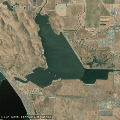
O'Neill Forebay
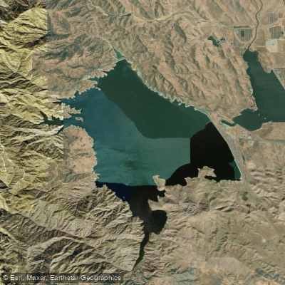
San Luis Reservoir
Fresno River
Coyote Lake
San Justo Reservoir
Explore California waters
Top paddling waters
Popular Cities
Loading popular cities...
Explore near Los Banos Reservoir
Access points
- Los Banos Creek Reservoir Boat Ramp
- Los Banos Reservoir Access
- San Luis Canal Bridge
- San Luis Canal Bridge
- Delta Mendota Canal Bridge
- San Luis Canal Bridge
- San Luis Canal Bridge
- San Luis Canal Bridge
- San Luis Canal Bridge
- Delta Mendota Canal Bridge
- Delta Mendota Canal Bridge
- Delta Mendota Canal Bridge
- All 13 spots
Nearby waters
More in California

Smarter Paddling Starts in the App.
Paddleways gives you everything you need to plan smarter, paddle better, and own every trip from first launch to takeout.