O'Neill Forebay
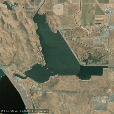
O'Neill Forebay
- Boat Ramps
- 2
- Access Points
- 3
- Campsites
- 5
O'Neill Forebay is a 2,250-acre reservoir located in California's San Joaquin Valley, about 10 miles west of Los Banos. With 14 miles of shoreline, it offers diverse paddling opportunities. The only boat ramp is at the San Luis Creek area. All boat traffic must move counterclockwise around marker buoys in the lake's center.
Paddlers should be aware of several hazards. Extreme shallow areas exist along the entire southern shoreline, Catfish Flats, and Mud Flats. The lake is susceptible to sudden changes in wind and weather. Wind warning lights near the old Medeiros boat ramp and above South Beach alert paddlers to dangerous conditions.
Boating hours are from 6 a.m. until sunset, with all watercraft required to be off the lake by sundown. Speed restrictions apply in certain areas, and boats are prohibited at North Beach. A 5 mph speed limit is enforced on nearby Los Banos Creek Reservoir.
The forebay is known for excellent fishing, particularly for striped bass. Five world record or former world record striped bass have been caught here. Other species include largemouth bass, crappie, and catfish.
Facilities include campgrounds, picnic areas, and hiking trails. The San Luis Creek Accessible Trail offers a 5-mile route along the shoreline. Guided kayak tours led by park staff are available in summer.
Paddlers must comply with a mussel prevention program to protect against invasive species. The lake serves as a major family destination for the west central valley, offering additional activities like swimming and windsurfing.
Water levels can fluctuate significantly, so paddlers should check current conditions before visiting. The surrounding landscape features subalpine flora and steep canyon walls, providing a scenic backdrop for paddling adventures.
Water access, boat ramps & amenities
Learn how to get on O'Neill Forebay. Uncover great paddling access points, boat ramps, and all the facilities you need for an unforgettable day on the water. Some locations shown may border or include private property. Always check property boundaries and applicable regulations before visiting. PaddleWays's Public & Private Land layer can help you plan your access with confidence.
Paddle smarter with real-time insights
Whether you're en route and conditions shift or you're looking for the best spot based on current flows, we enable you to make informed decisions on the fly.








Find Places to Paddle

Over 400,000 Places to Paddle
Every user gets free access to launch points, boat ramps, and public property parcels.


Water and weather conditions (10 day forecast)
See the best times to paddle O'Neill Forebay and check the forecast before you go.
No forecast data available.
Paddling near O'Neill Forebay

San Joaquin River

Merced River

Tuolumne River

Stanislaus River
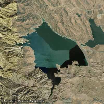
San Luis Reservoir
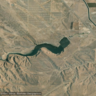
Los Banos Reservoir
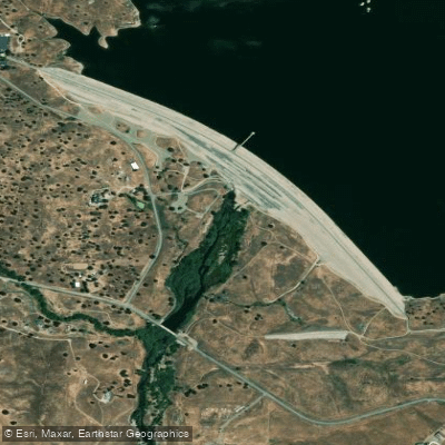
Fresno River
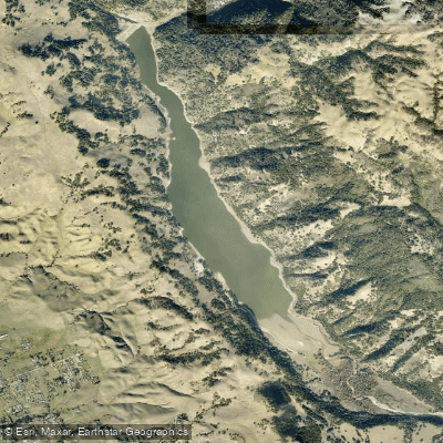
Coyote Lake
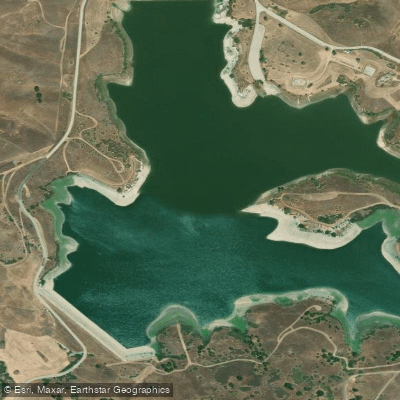
San Justo Reservoir
Explore California waters
Top paddling waters
Popular Cities
Loading popular cities...
Explore near O'Neill Forebay
Access points
- Medeiros Boat Ramp San Luis Reservoir, O'Neill Forebay Boat Ramp
- San Luis Reservoir Boat Ramp
- O'Neill Forebay Access
- Delta Mendota Canal Bridge
- San Luis Canal Bridge
- Delta Mendota Canal Bridge
- Delta Mendota Canal Bridge
- Volta Wasteway Bridge
- San Luis Wasteway Bridge
- San Luis Wasteway Bridge
- California Aqueduct Bridge
- Delta Mendota Canal Bridge
- All 22 spots
Nearby waters
More in California

Smarter Paddling Starts in the App.
Paddleways gives you everything you need to plan smarter, paddle better, and own every trip from first launch to takeout.