San Luis Reservoir
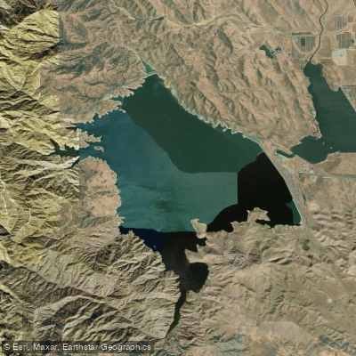
San Luis Reservoir
- Boat Ramps
- 2
- Access Points
- 3
- Campsites
- 5
San Luis Reservoir is a large reservoir located in the western San Joaquin Valley of California near Pacheco Pass. The reservoir consists of three interconnected bodies of water: San Luis Reservoir, O'Neill Forebay, and Los Banos Creek Reservoir. Paddlers can access San Luis Reservoir from Highway 152 via entrances on Basalt Road and Dinosaur Point Road, with boat launches available at Dinosaur Point and Basalt (though Basalt is temporarily closed). O'Neill Forebay can be accessed from Donohugh Road and Gonzaga Road, with boat launches at both entrances.
The most significant hazard for paddlers is the strong winds that frequently occur on all three lakes. Wind warning lights are positioned at key locations around San Luis Reservoir and O'Neill Forebay to alert boaters of dangerous conditions. Paddlers should exercise extreme caution and be prepared for sudden changes in wind and weather.
Boating hours on all three lakes are from sunrise to sunset, with no boats allowed on the water overnight. Speed limits vary throughout San Luis Reservoir and O'Neill Forebay, while Los Banos Creek Reservoir has a 5 mph speed limit across the entire lake.
The area is known for excellent fishing, with striped bass, largemouth bass, crappie, and other species available. Guided kayak tours led by California State Parks staff are offered in the summer, starting at 8:30 am.
Several hiking trails are available near the water, including the 5-mile San Luis Creek Accessible Trail along O'Neill Forebay's shoreline. The Romero Overlook Visitors Center provides information about the reservoirs and offers panoramic views.
Paddlers should be aware of shallow areas, particularly during periods of low water levels. The lakes are part of the State Water Project and Central Valley Project, so water levels can fluctuate significantly throughout the year.
Water access, boat ramps & amenities
Learn how to get on San Luis Reservoir. Uncover great paddling access points, boat ramps, and all the facilities you need for an unforgettable day on the water. Some locations shown may border or include private property. Always check property boundaries and applicable regulations before visiting. PaddleWays's Public & Private Land layer can help you plan your access with confidence.
Paddle smarter with real-time insights
Whether you're en route and conditions shift or you're looking for the best spot based on current flows, we enable you to make informed decisions on the fly.








Find Places to Paddle

Over 400,000 Places to Paddle
Every user gets free access to launch points, boat ramps, and public property parcels.


Water and weather conditions (10 day forecast)
See the best times to paddle San Luis Reservoir and check the forecast before you go.
No forecast data available.
Paddling near San Luis Reservoir

San Joaquin River

Merced River

Tuolumne River

Stanislaus River
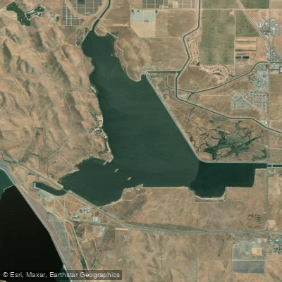
O'Neill Forebay
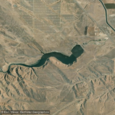
Los Banos Reservoir
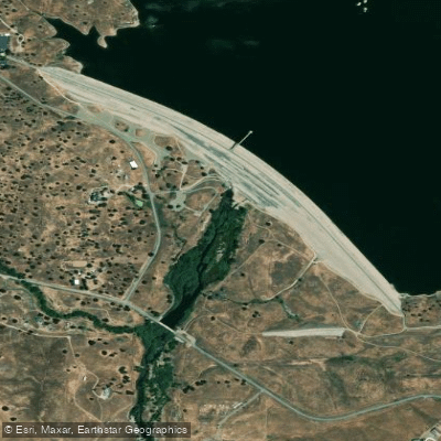
Fresno River
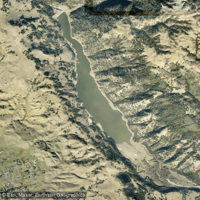
Coyote Lake
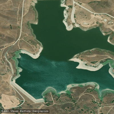
San Justo Reservoir
Explore California waters
Top paddling waters
Popular Cities
Loading popular cities...
Explore near San Luis Reservoir
Access points
- San Luis Reservoir Boat Ramp
- San Luis Reservoir Ramp
- San Luis Reservoir Access
- Delta Mendota Canal Bridge
- San Luis Canal Bridge
- Volta Wasteway Bridge
- San Luis Wasteway Bridge
- Delta Mendota Canal Bridge
- San Luis Wasteway Bridge
- Delta Mendota Canal Bridge
- Basalt Campground
- San Luis Creek Group Campground
- All 15 spots
Nearby waters
More in California

Smarter Paddling Starts in the App.
Paddleways gives you everything you need to plan smarter, paddle better, and own every trip from first launch to takeout.