West Fork San Gabriel River
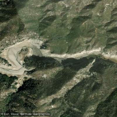
West Fork San Gabriel River
- Boat Ramps
- 0
- Access Points
- 5
- Campsites
- 20
The West Fork San Gabriel River is a scenic waterway flowing through the rugged San Gabriel Mountains of Southern California. Originating high in the San Gabriel Wilderness, this river flows south and east for approximately 20 miles before joining the main stem of the San Gabriel River. The West Fork and its tributaries drain a significant portion of the western San Gabriel Mountains watershed.
For paddlers, the West Fork offers several distinct sections ranging from challenging wilderness runs to more accessible stretches. The upper reaches above Cogswell Reservoir provide a remote Class IV-V wilderness experience through pristine canyons, requiring advanced whitewater skills and typically only runnable during high water events. Below Cogswell Dam, a 4-mile Class III-IV section from Second Bridge to San Gabriel Reservoir offers technical pool-drop paddling. The river's flow is highly seasonal, with the best paddling typically occurring in winter and spring following significant rainfall or snowmelt. During drier months, many sections become too low for boating.
The West Fork's ecosystem supports diverse flora and fauna, including rare species like the Santa Ana sucker fish. Key landmarks include Cogswell Dam, the historic West Fork Trail, and several picturesque bridges. Primary access points are located along Highway 39 and the West Fork National Scenic Bikeway, with the city of Azusa being the nearest population center. This 6-mile paved path paralleling the lower river provides easy recreational access for hikers, cyclists, and anglers.
The West Fork holds cultural significance as part of the traditional lands of the Gabrielino-Tongva people. In the early 20th century, the area saw extensive recreational development, with resorts and camps dotting the canyon. Today, it remains a popular outdoor destination within the Angeles National Forest and San Gabriel Mountains National Monument.
Paddlers should be aware of potential flash flood dangers, especially in narrow canyon sections. A Adventure Pass is required for parking at many trailheads. While most runs are day trips, the remote upper wilderness section could potentially support multi-day expeditions for highly skilled paddlers during optimal conditions.
Water access, boat ramps & amenities
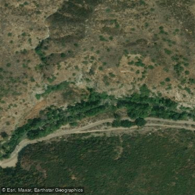
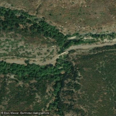
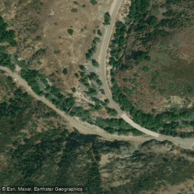
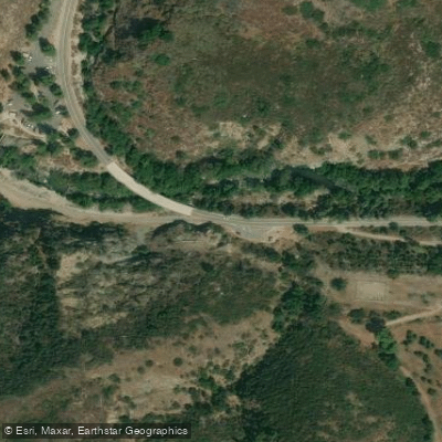
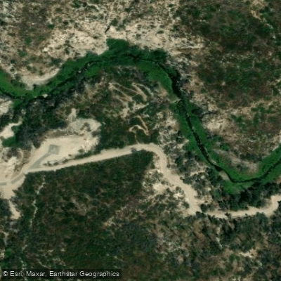
Learn how to get on West Fork San Gabriel River. Uncover great paddling access points, boat ramps, and all the facilities you need for an unforgettable day on the water. Some locations shown may border or include private property. Always check property boundaries and applicable regulations before visiting. PaddleWays's Public & Private Land layer can help you plan your access with confidence.
Paddle smarter with real-time insights
Whether you're en route and conditions shift or you're looking for the best spot based on current flows, we enable you to make informed decisions on the fly.








Find Places to Paddle

Over 400,000 Places to Paddle
Every user gets free access to launch points, boat ramps, and public property parcels.


Water and weather conditions (10 day forecast)
See the best times to paddle West Fork San Gabriel River and check the forecast before you go.
No forecast data available.
Paddling near West Fork San Gabriel River
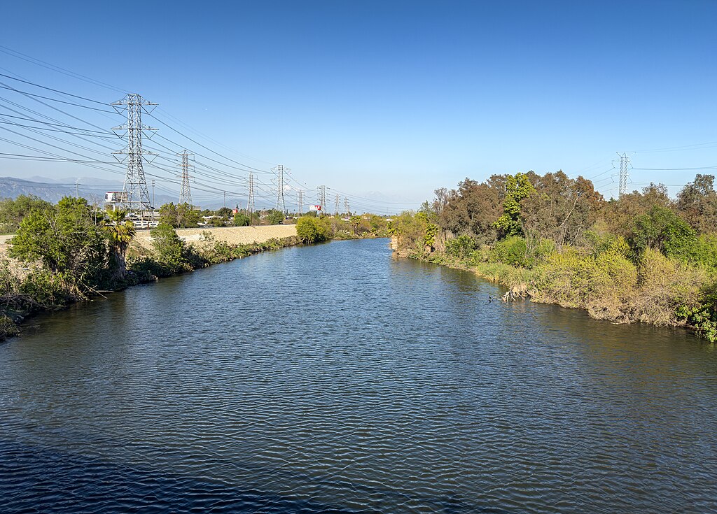
San Gabriel River
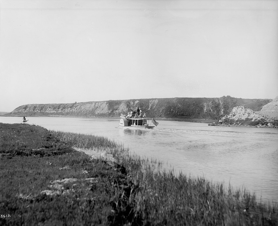
Santa Ana River
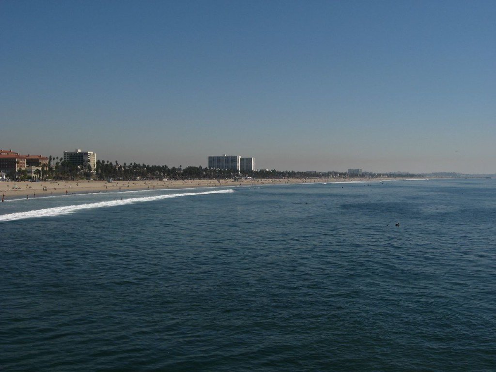
Santa Monica Bay
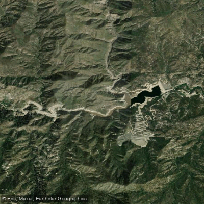
Cogswell Reservoir
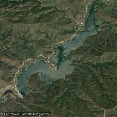
Morris Reservoir
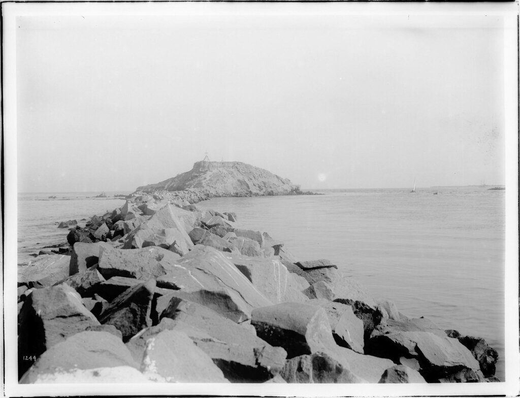
San Pedro Bay
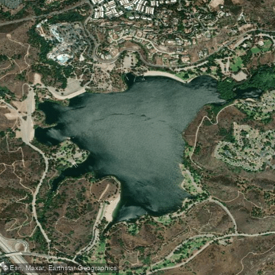
Puddingstone Reservoir
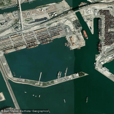
Los Angeles Harbor
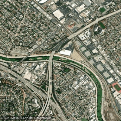
Los Angeles River
Explore California waters
Top paddling waters
Popular Cities
Loading popular cities...
Explore near West Fork San Gabriel River
Access points
- San Gabriel River West Fork Access
- Devils Canyon Dam Truck Trail Access
- San Gabriel Canyon Access
- West Fork National Recreation Area Access
- Devils Canyon Dam Truck Trail Access
- Second Bridge
- Highway 39 Bridge
- Graveyard Cyn Creek Bridge
- N Fork San Gabriel River Bridge
- San Gabriel Riv Ef Bridge
- Big Tujunga Cyn Bridge
- West Fork Trail Campground
- All 34 spots
Nearby waters
More in California

Smarter Paddling Starts in the App.
Paddleways gives you everything you need to plan smarter, paddle better, and own every trip from first launch to takeout.