Promontory Bay
- Saltwater
- Bay
Promontory Bay
- Saltwater
- Bay
- Sq. miles
- 0
- Boat Ramps
- 0
- Access Points
- 0
- Campsites
- 0
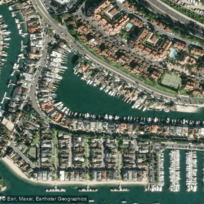
Promontory Bay is a sheltered, residential bay within the larger Newport Harbor system in Newport Beach, California. It is a saltwater bay characterized by calm, protected waters suitable for kayaking, canoeing, and stand-up paddleboarding. The bay is part of a network of inlets and channels, with its eastern edge bordered by Bayside Drive. A specific, informal launch point for paddlers is a small beach on Bayside Drive, located just north of a shopping center; this area is used for launching frequently and provides lateral access via a walkway along the road. The overall paddling experience is defined by its proximity to upscale, custom bayfront residences with private docks and boats, offering a view of affluent waterfront living. Paddlers commonly explore the bay as part of a larger circuit around Balboa Island, often entering Promontory Bay from the main harbor channel to the east. The environment is entirely urban and residential, with no indication of natural shorelines or significant wildlife habitats within the bay itself. A primary safety consideration is the presence of other watercraft; paddlers must be consistently mindful of boat traffic, including the Balboa Island Ferry, and should exercise caution when crossing navigation channels. The water is generally smooth, making it suitable for relaxed paddling, though wind can affect open areas of the harbor. No specific regulations prohibiting paddling were noted, and public access for these activities is supported. Facilities are limited to the informal beach launch; amenities like restrooms or rentals would be found in the commercial areas of Balboa Island or Newport Harbor proper.
Water access, boat ramps & amenities
Learn how to get on Promontory Bay. Uncover great paddling access points, boat ramps, and all the facilities you need for an unforgettable day on the water. Some locations shown may border or include private property. Always check property boundaries and applicable regulations before visiting. PaddleWays's Public & Private Land layer can help you plan your access with confidence.
Paddle smarter with real-time insights
Whether you're en route and conditions shift or you're looking for the best spot based on current flows, we enable you to make informed decisions on the fly.








Find Places to Paddle

Over 400,000 Places to Paddle
Every user gets free access to launch points, boat ramps, and public property parcels.


Tides, wind & water conditions (10 day forecast)
On open water, wind and tide matter as much as the weather. See the best times to paddle Promontory Bay and check the marine forecast before you launch.
Loading tide predictions…
Paddling near Promontory Bay
Santa Ana River
San Gabriel River
Newport Bay
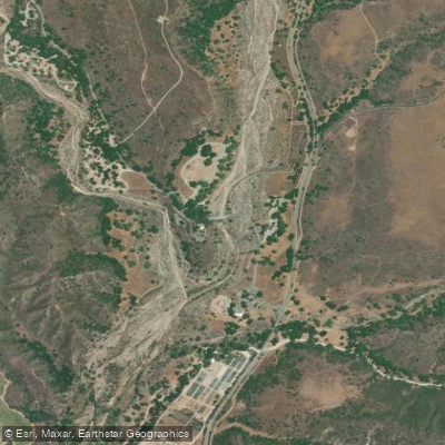
San Juan Creek
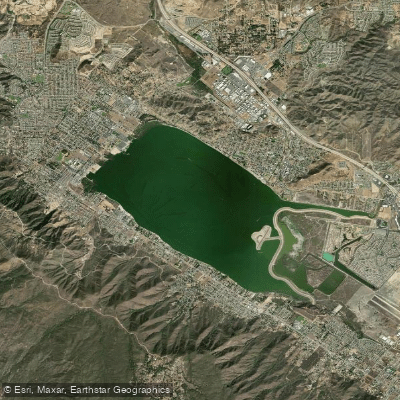
Lake Elsinore
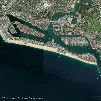
Balboa Beach

Los Angeles River
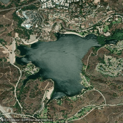
Puddingstone Reservoir
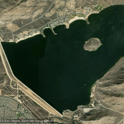
Perris Reservoir
Explore California waters
Top paddling waters
Popular Cities
Loading popular cities...
Explore near Promontory Bay
Access points
Nearby waters
More in California

Smarter Paddling Starts in the App.
Paddleways gives you everything you need to plan smarter, paddle better, and own every trip from first launch to takeout.