Los Angeles River
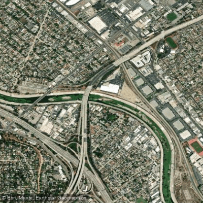
Los Angeles River
- Boat Ramps
- 0
- Access Points
- 1
- Campsites
- 1
The Los Angeles River is an iconic urban waterway that flows for 51 miles through the heart of Los Angeles, California. Originating in the Simi Hills and Santa Susana Mountains, it flows eastward through the San Fernando Valley before turning south through downtown Los Angeles and emptying into the Pacific Ocean at Long Beach. Once a free-flowing river vital to the Tongva people, the Los Angeles River was largely channelized with concrete after devastating floods in 1938.
In recent years, efforts to revitalize the river have created unique recreational opportunities, including seasonal kayaking in two designated zones. The Elysian Valley Recreation Zone, also known as the Glendale Narrows or Frogtown section, offers a 2.5-mile stretch of mild whitewater (Class II) through one of the most natural and vegetated parts of the river. This popular urban paddling experience combines tranquil flatwater with occasional rapids. The put-in is at MRCA Rattlesnake Park at Fletcher Drive, with the take-out near Oso Park. The Sepulveda Basin Recreation Zone provides a 2-mile flatwater paddling experience in the San Fernando Valley. This section is ideal for beginners and offers excellent opportunities for wildlife viewing. Access is from Balboa Boulevard just south of Victory Boulevard, with the take-out west of Woodley Avenue.
Both recreation zones are typically open from Memorial Day to September 30th each year. Several outfitters offer guided tours and rentals, including LA River Kayak Safari and LA River Expeditions. The river is best paddled during the summer months when water levels are consistent and weather is favorable.
Despite its urban setting, the Los Angeles River supports a surprising diversity of wildlife. Paddlers may encounter great blue herons, black-necked stilts, and other shorebirds. The soft-bottomed sections host fish species and riparian vegetation. Key landmarks along the paddling sections include the Sepulveda Dam, Fletcher Drive Bridge, and views of Griffith Park. The river passes through diverse neighborhoods, offering a unique perspective on Los Angeles' urban landscape.
Safety considerations include checking water quality reports, being aware of potential urban pollutants, and respecting designated access points. All paddlers must wear personal flotation devices, and it's advisable to paddle with a group or guide, especially for first-time visitors. The Los Angeles River's revitalization represents a significant shift in urban planning, transforming a once-neglected waterway into a valued recreational and ecological resource. Paddling the LA River offers a distinctive way to experience the city's natural and cultural heritage.
Water access, boat ramps & amenities
Learn how to get on Los Angeles River. Uncover great paddling access points, boat ramps, and all the facilities you need for an unforgettable day on the water. Some locations shown may border or include private property. Always check property boundaries and applicable regulations before visiting. PaddleWays's Public & Private Land layer can help you plan your access with confidence.
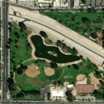
Paddle smarter with real-time insights
Whether you're en route and conditions shift or you're looking for the best spot based on current flows, we enable you to make informed decisions on the fly.








Find Places to Paddle

Over 400,000 Places to Paddle
Every user gets free access to launch points, boat ramps, and public property parcels.


Water and weather conditions (10 day forecast)
See the best times to paddle Los Angeles River and check the forecast before you go.
LOS ANGELES R A SEPULVEDA DAM CA
All Flow Stations
Paddling near Los Angeles River
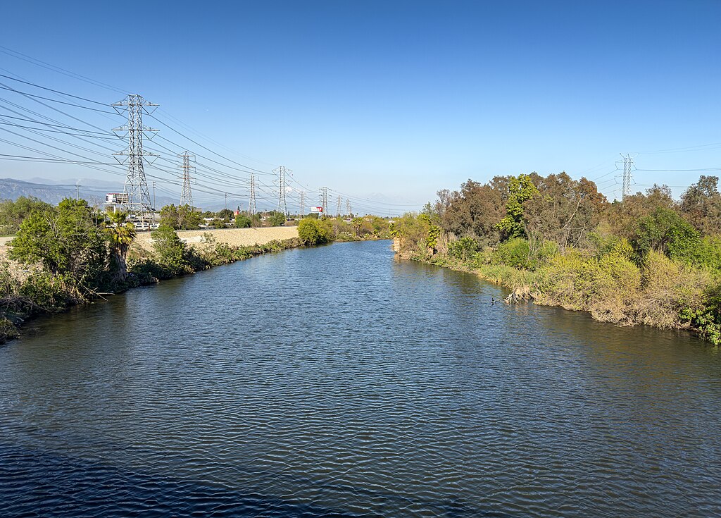
San Gabriel River
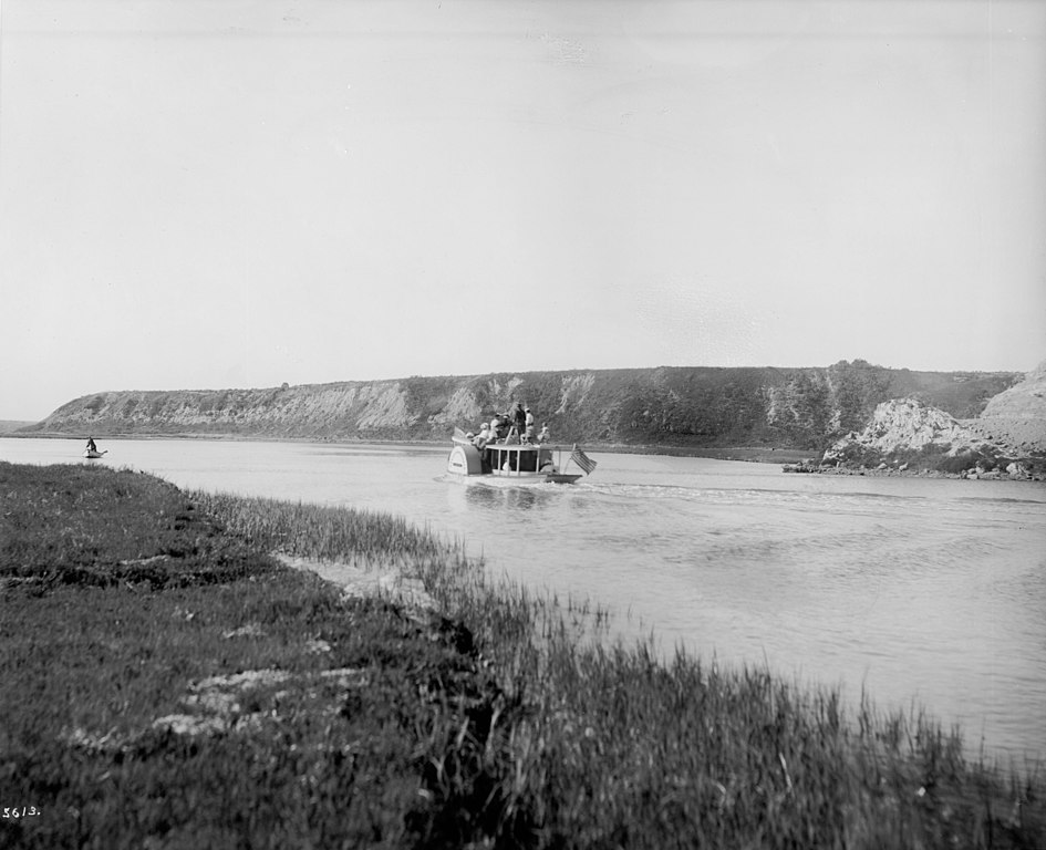
Santa Ana River
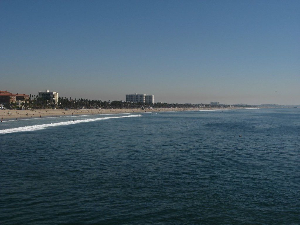
Santa Monica Bay
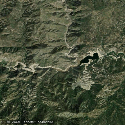
Cogswell Reservoir
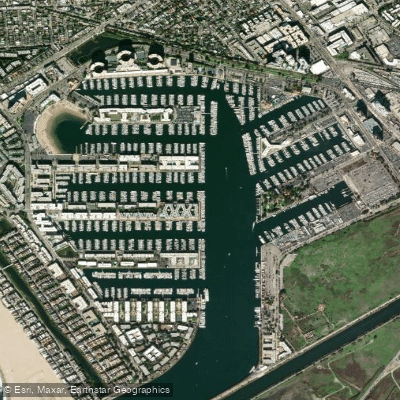
Marina del Rey
West Fork San Gabriel River
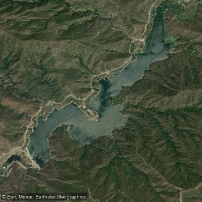
Morris Reservoir
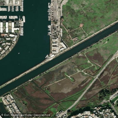
Ballona Creek
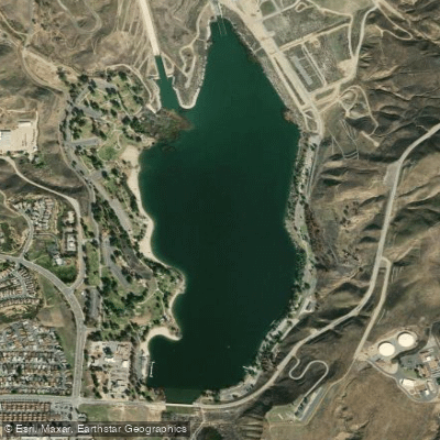
Castaic Lagoon
Explore California waters
Top paddling waters
Popular Cities
Loading popular cities...
Explore near Los Angeles River
Access points
Nearby waters
More in California

Smarter Paddling Starts in the App.
Paddleways gives you everything you need to plan smarter, paddle better, and own every trip from first launch to takeout.