Snag Lake
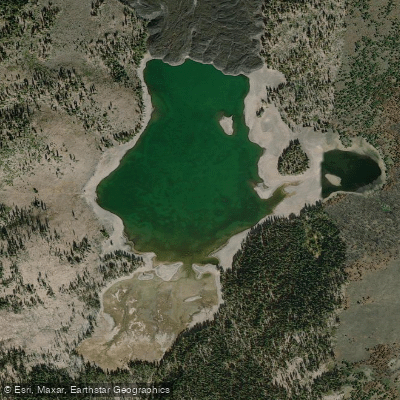
Snag Lake
- Boat Ramps
- 0
- Access Points
- 1
- Campsites
- 2
Snag Lake is the largest lake in Lassen Volcanic National Park, located in the remote eastern section of the park at 6,050 feet elevation. This backcountry destination offers paddlers a true wilderness experience accessible only by hiking trail, making it ideal for multi-day kayaking and camping expeditions.
**Access and Approach** The lake is most commonly accessed via two trailheads: Butte Lake (approximately 3.5 miles) and Juniper Lake (roughly 6 miles). The Butte Lake approach traverses the Fantastic Lava Beds with sandy, cinder-covered trail sections that can be challenging with loaded boats. From Juniper Lake, the route passes through forested terrain. Water from nearby Horseshoe Lake feeds into Snag Lake via Grassy Creek, and water eventually flows underground through porous lava to Butte Lake.
**Paddling Character** Snag Lake features crystal-clear water and approximately five miles of shoreline surrounded by dramatic volcanic landscapes. True to its name, the shoreline includes submerged tree stumps and roots in places—a remnant of the ancient forest flooded when lava flows dammed the drainage. The lake offers numerous dispersed camping opportunities along its shores, making it excellent for base-camp kayaking with day trips to nearby lakes like Rainbow Lake and Jakey Lake.
**Conditions and Wildlife** Only non-motorized watercraft are permitted. The remote location means paddlers often have the lake entirely to themselves, creating exceptional solitude. Black bears are present in the area, and bear-resistant canisters are required for overnight trips from April through November. The lake contains no sport fish. Wind can pick up in afternoons, and smoke from regional wildfires occasionally impacts visibility during summer months. Plan for self-sufficiency—no services, potable water, or cell reception exist in this wilderness setting.
Water access, boat ramps & amenities
Learn how to get on Snag Lake. Uncover great paddling access points, boat ramps, and all the facilities you need for an unforgettable day on the water. Some locations shown may border or include private property. Always check property boundaries and applicable regulations before visiting. PaddleWays's Public & Private Land layer can help you plan your access with confidence.
Paddle smarter with real-time insights
Whether you're en route and conditions shift or you're looking for the best spot based on current flows, we enable you to make informed decisions on the fly.








Find Places to Paddle

Over 400,000 Places to Paddle
Every user gets free access to launch points, boat ramps, and public property parcels.


Water and weather conditions (10 day forecast)
See the best times to paddle Snag Lake and check the forecast before you go.
No forecast data available.
Paddling near Snag Lake
Pit River
Hat Creek
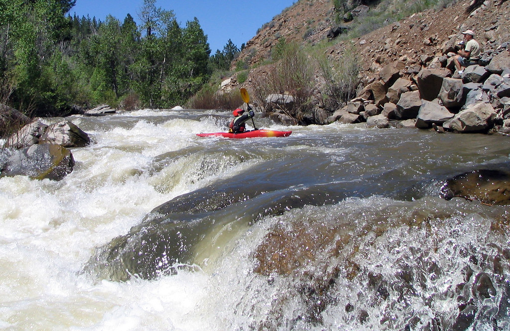
Susan River
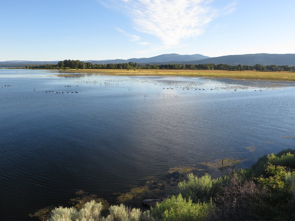
Lake Almanor

Sacramento River
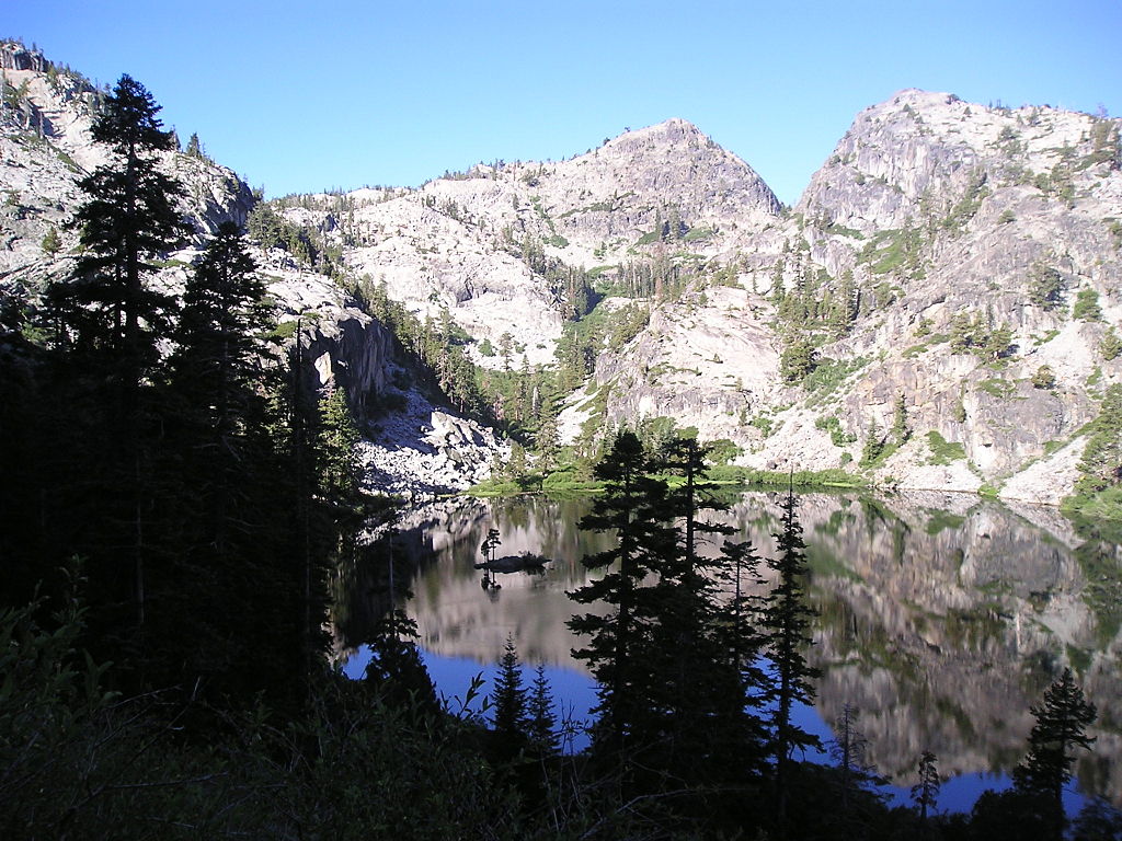
Eagle Lake
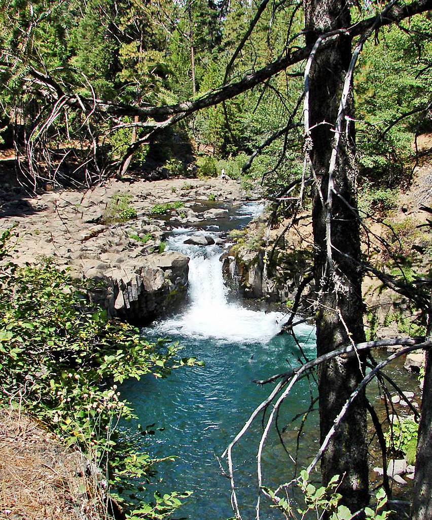
McCloud River
North Fork Feather River
North Fork Battle Creek
Little Cow Creek
Explore California waters
Top paddling waters
Popular Cities
Loading popular cities...
Explore near Snag Lake

Smarter Paddling Starts in the App.
Paddleways gives you everything you need to plan smarter, paddle better, and own every trip from first launch to takeout.