Lost Slough
- Saltwater
- Sea area
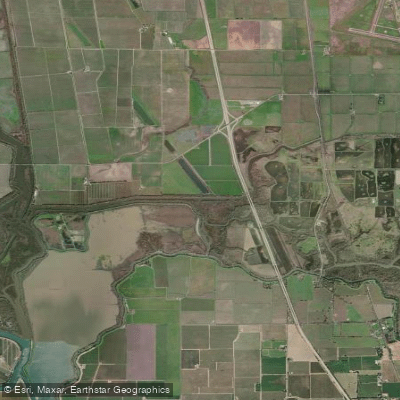
Lost Slough
- Saltwater
- Sea area
- Sq. miles
- 0.3
- Boat Ramps
- 0
- Access Points
- 0
- Campsites
- 0
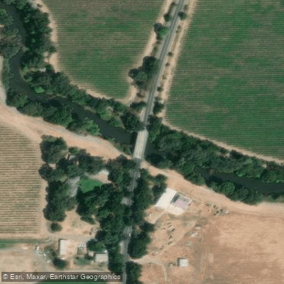
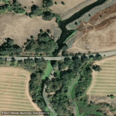
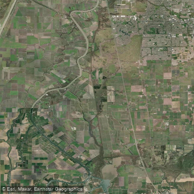
Lost Slough is a tidal slough within the Cosumnes River Preserve in California's Central Valley, forming part of the Sacramento-San Joaquin Delta system. It is characterized by a maze of quiet, narrow channels winding through restored marshes and riparian forests, creating a peaceful and isolated paddling environment where it is easy to become disoriented. A primary access point for a one-way trip is the concrete launch ramp at the former Delta Meadows State Park near Locke; this ramp is steep and slippery, with limited access requiring wheels to transport boats and no facilities available. An alternative entry for experienced paddlers seeking a shorter route into Lost Slough is via a "back door" channel accessible from the Cosumnes River Preserve Visitor Center area, which involves paddling under the Franklin Boulevard bridge; this route can feature very shallow water and require portages over sandstone during low tides. The destination for a common shuttle trip is the Cosumnes River Preserve, creating a popular one-way route of approximately 10 to 16 miles when combined with connecting sloughs like Snodgrass Slough and the Mokelumne River.
Paddling here is heavily influenced by tides, as the slough connects to the tidal Delta. Tides can be extreme, with very low water levels occasionally necessitating portages where paddlers must carry their boats over hard, flat sandstone. The area experiences minimal powerboat traffic, with only a couple of fishing boats encountered on typical journeys. There are no significant surf zones or high-wind fetch concerns within the protected slough channels, but paddlers must be prepared for navigation challenges due to the many intersecting waterways. The scenery includes lush marshes, valley oak riparian forests, cottonwood/willow stands, and tule marshes, with wildlife including numerous bird species. Historical remnants like an abandoned boat and old bridge footings can be seen. The Lost Slough Wetlands Boardwalk, part of the preserve's trail system, offers a land-based view of the area but is separate from the paddling route. The preserve is open from sunrise to sunset.
Water access, boat ramps & amenities
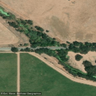
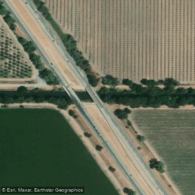
Learn how to get on Lost Slough. Uncover great paddling access points, boat ramps, and all the facilities you need for an unforgettable day on the water. Some locations shown may border or include private property. Always check property boundaries and applicable regulations before visiting. PaddleWays's Public & Private Land layer can help you plan your access with confidence.
Paddle smarter with real-time insights
Whether you're en route and conditions shift or you're looking for the best spot based on current flows, we enable you to make informed decisions on the fly.








Find Places to Paddle

Over 400,000 Places to Paddle
Every user gets free access to launch points, boat ramps, and public property parcels.


Tides, wind & water conditions (10 day forecast)
On open water, wind and tide matter as much as the weather. See the best times to paddle Lost Slough and check the marine forecast before you launch.
Loading tide predictions…
Paddling near Lost Slough

Mokelumne River

Sacramento River
Snodgrass Slough

San Joaquin River

American River
Lake Natoma
Folsom Lake
Cosumnes River

North Fork American River
Explore California waters
Top paddling waters
Popular Cities
Loading popular cities...
Explore near Lost Slough
Access points
Nearby waters
More in California

Smarter Paddling Starts in the App.
Paddleways gives you everything you need to plan smarter, paddle better, and own every trip from first launch to takeout.