Sugar River
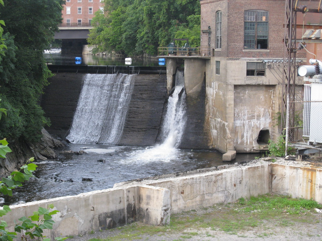
Sugar River
- Boat Ramps
- 7
- Access Points
- 12
- Campsites
- 10
The Sugar River is a scenic waterway in western New Hampshire that flows approximately 27 miles from its origin at Lake Sunapee to its confluence with the Connecticut River. This picturesque river winds through Sullivan County, passing the towns of Newport, Kelleyville, and Claremont along its course.
For paddlers, the Sugar River offers a variety of experiences across its three main sections. The Upper Sugar River, from North Newport to Route 103, provides the most challenging whitewater with 3.4 miles of Class II-III rapids and an average gradient of 34 feet per mile. This section is best suited for intermediate to advanced paddlers with whitewater skills. The Mid Sugar River, from Route 103 to Newport, offers a more relaxed 10-mile stretch of Class II water ideal for beginners and intermediates. The Lower Sugar River continues another 10 miles from Newport to Claremont, maintaining its Class II difficulty.
The river is typically paddled from spring through fall, with optimal water levels usually occurring in April through June after the snowmelt. Late summer and fall can provide pleasant paddling, though water levels may be lower.
The Sugar River is home to a variety of wildlife, including herons, bald eagles, and beavers. Paddlers can enjoy views of covered bridges, historic mill buildings, and the lush forests of the Sugar River valley.
Key access points include the Covered Bridge in North Newport (Upper section put-in), Route 103 Bridge in Kelleyville (Mid section put-in), and Riverside Park on Washington Street in Claremont (Lower section take-out). The nearby Sugar River Recreational Rail Trail provides additional opportunities to explore the river corridor.
The Sugar River played a significant role in the region's industrial history, powering mills in Newport and Claremont. Today, it serves as an important recreational resource for the area.
Paddlers should be aware of potential strainers and low-head dams, particularly in the Upper section. Life jackets are required by state law.
For those seeking a multi-day adventure, it's possible to combine all three sections for a 23-mile journey from North Newport to Claremont, with camping options available along the route. Whether tackling the exciting rapids of the Upper Sugar or enjoying a leisurely float on the lower sections, the Sugar River offers a quintessential New Hampshire paddling experience.
Water access, boat ramps & amenities
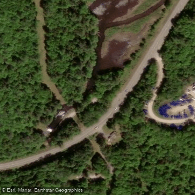
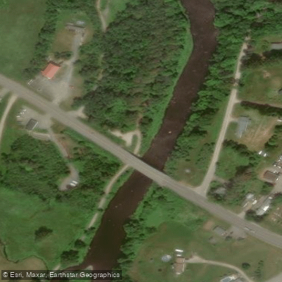
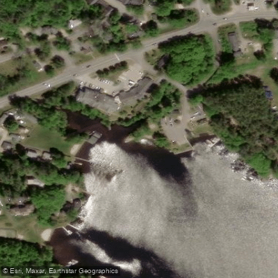
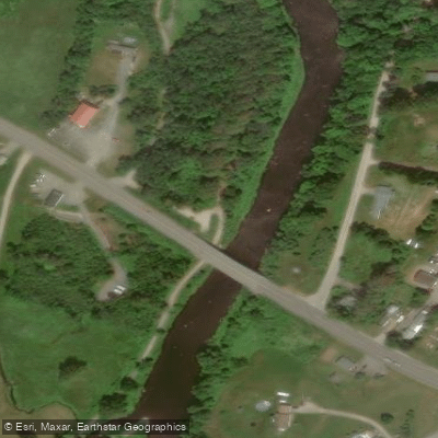
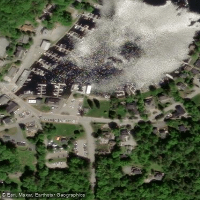
Learn how to get on Sugar River. Uncover great paddling access points, boat ramps, and all the facilities you need for an unforgettable day on the water. Some locations shown may border or include private property. Always check property boundaries and applicable regulations before visiting. PaddleWays's Public & Private Land layer can help you plan your access with confidence.
Paddle smarter with real-time insights
Whether you're en route and conditions shift or you're looking for the best spot based on current flows, we enable you to make informed decisions on the fly.








Find Places to Paddle

Over 400,000 Places to Paddle
Every user gets free access to launch points, boat ramps, and public property parcels.


Water and weather conditions (10 day forecast)
See the best times to paddle Sugar River and check the forecast before you go.
SUGAR RIVER AT WEST CLAREMONT, NH
All Flow Stations
Paddling near Sugar River

Connecticut River
Ashuelot River
Contoocook River
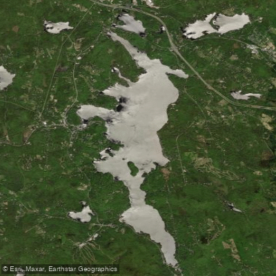
Sunapee Lake
Millers River

Merrimack River

Wachusett Reservoir
Souhegan River
Otter Creek
Explore New Hampshire waters
Top paddling waters
Popular Cities
Loading popular cities...
Explore near Sugar River
Access points
- Corbin Bridge Park Boat Ramp
- Corbin Bridge Park Boat Ramp
- Riverside Park Boat Ramp
- Sunapee Harbor Boat Ramp
- Sunapee Harbor Boat Ramp
- Georges Mill Beach Boat Ramp
- Georges Mill Beach Boat Ramp
- Wendell Marsh Access
- Sugar River Recreational Trail Access
- George Mills Beach Access
- Sugar River Recreational Trail Access
- Sunapee Harbor Access
- All 59 spots
Nearby waters
More in New Hampshire

Smarter Paddling Starts in the App.
Paddleways gives you everything you need to plan smarter, paddle better, and own every trip from first launch to takeout.