Curated by PaddleWays
RouteFlatwater
- Distance
- 0.7 mi
- Paddle time
- ~0.5 hrs
- Put-in → take-out
- West Rock Ridge State Park Access → Wintergreen Lake Boat Ramp
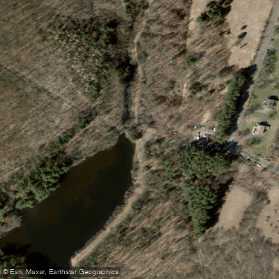
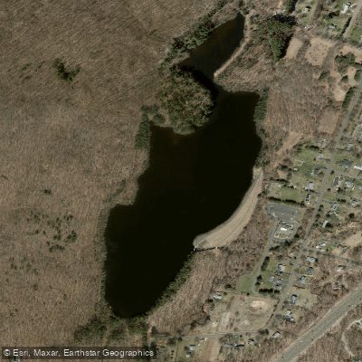
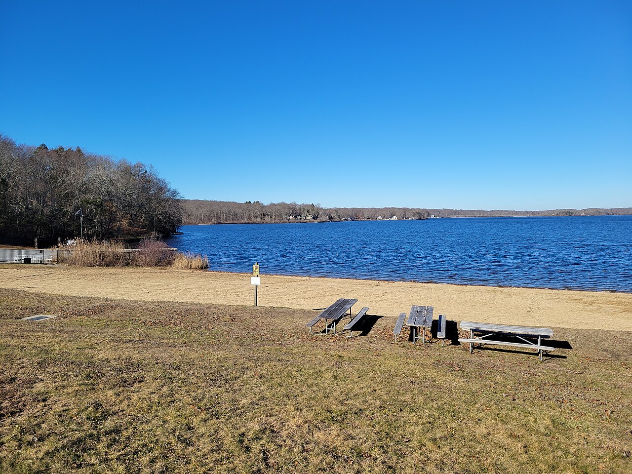
Lake Wintergreen is a 44-acre freshwater lake located in West Rock State Park in Hamden, Connecticut. The lake is accessed from approximately 45 Main Street, with parking for about 30 vehicles.
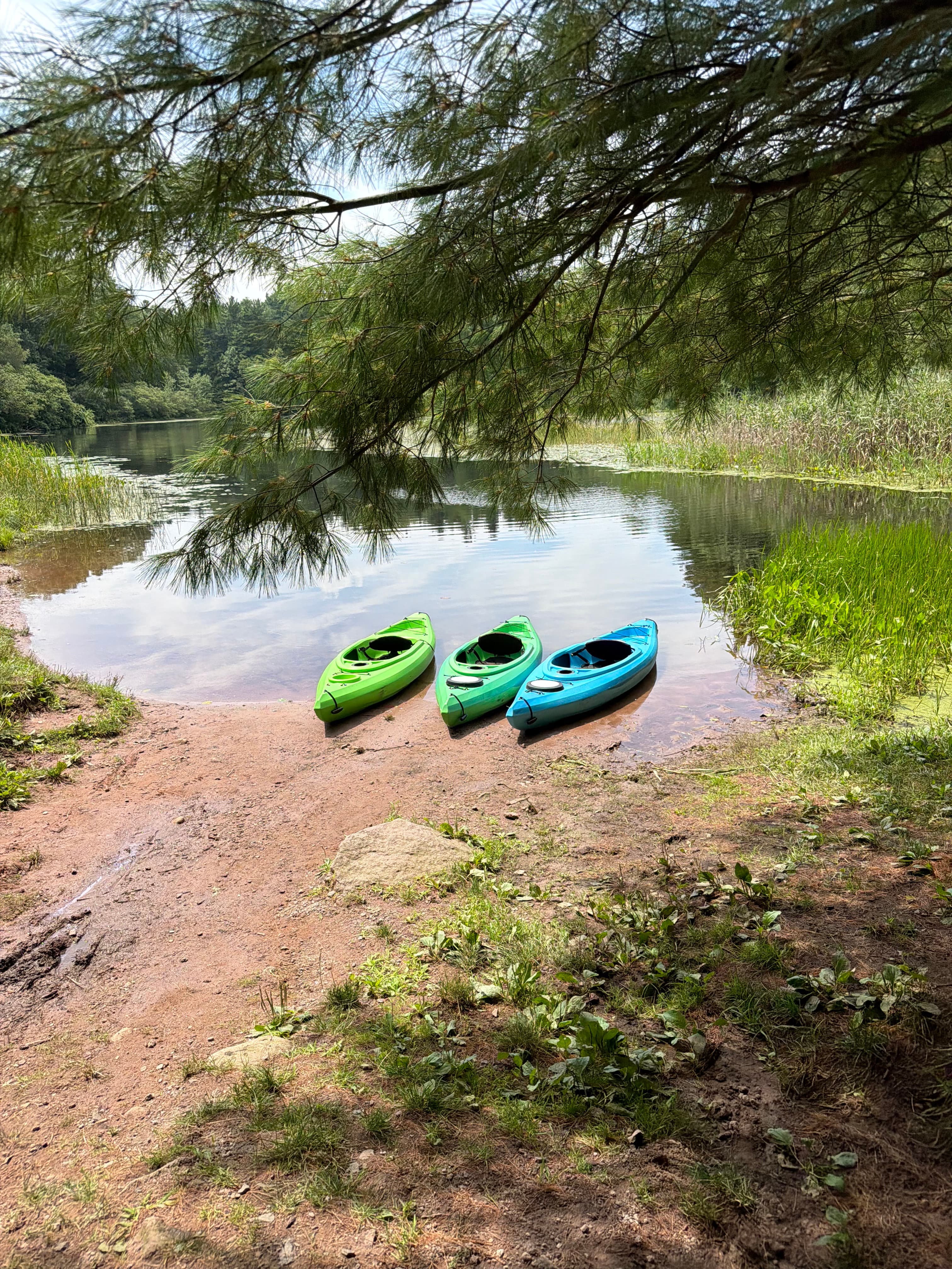
From the parking area, paddlers must carry their watercraft approximately 100-200 feet down a gravel path to reach the water. The lake allows only hand-powered vessels and electric motors, as internal combustion engines are prohibited.
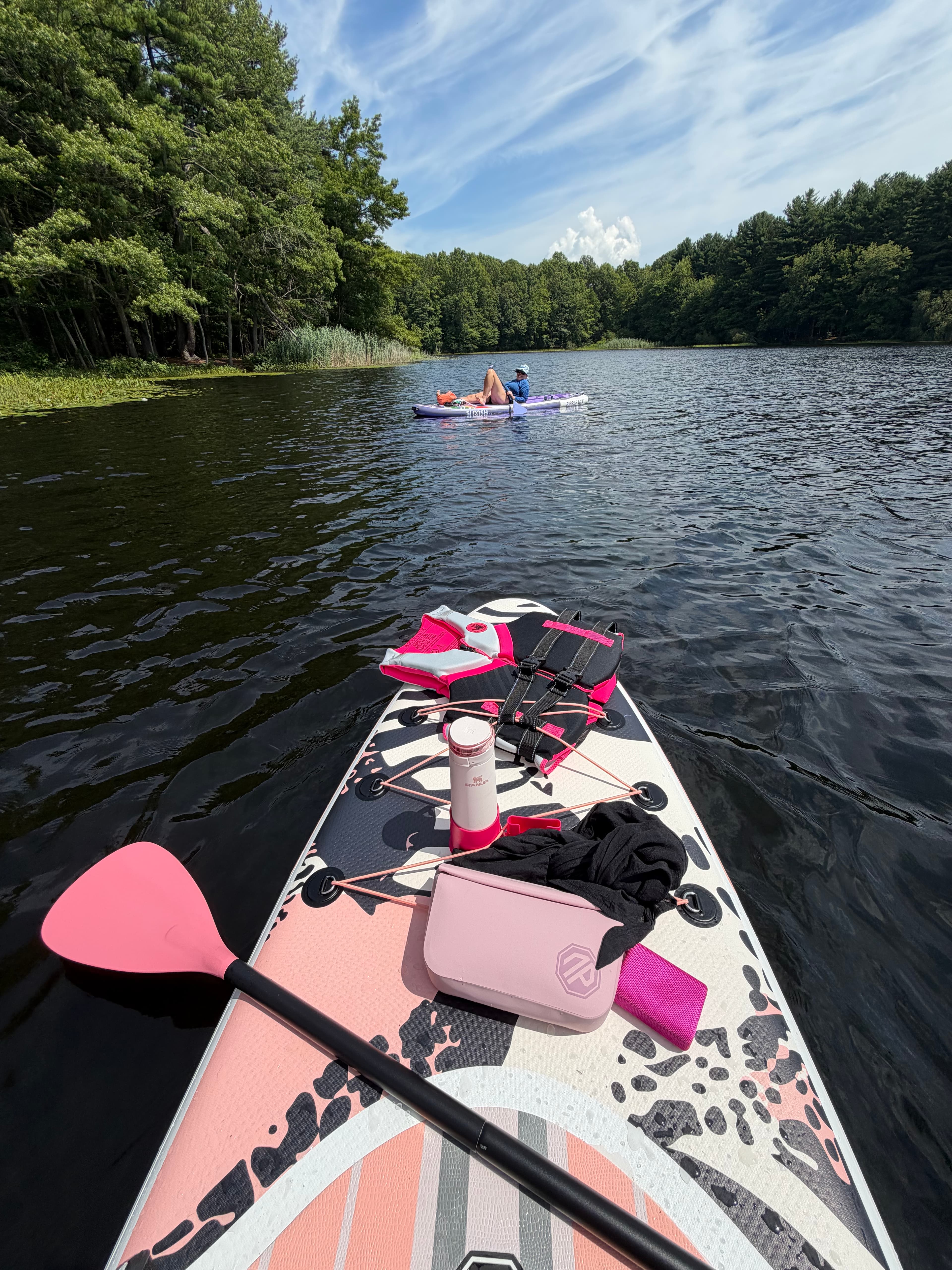
This restriction creates a peaceful paddling environment without the noise and wake disturbance of motorized boats. The lake is suitable for kayaks, canoes, and stand-up paddleboards, making it an ideal location for beginning paddlers and families.
Lake Wintergreen operates as a car-top/carry-in access facility year-round. The launch area features a gravel ramp surface, though the facility is not ADA accessible. No docks or restroom facilities are available at the launch site.
The lake's forested shoreline remains free of development, providing a natural setting sheltered from intense winds by the surrounding ridge. As a former reservoir, the water maintains a clean appearance and does not experience problematic algae blooms.
A complete circuit of the lake measures approximately 1.56 miles and typically takes 30-45 minutes depending on paddling pace. Swimming is prohibited in Lake Wintergreen and all other water bodies within West Rock State Park.
The lake is managed by Connecticut's Department of Energy and Environmental Protection and falls under state fishing regulations.
Paddlers should be aware that the lake may freeze sufficiently for ice activities during winter months, though ice thickness is not officially monitored.
The surrounding West Rock Ridge State Park offers hiking trails and scenic overlooks, making it possible to combine paddling with other outdoor activities. The location provides easy access to outdoor recreation while remaining close to urban areas.
Curated routes
Hand-picked by the PaddleWays team, with put-ins, take-outs, paddle times and the hazards along the way.
RouteFlatwater
Hazards
No paddler has reported a hazard here yet, so these are the dams, falls and big rapids on our map. Hazards change with flows and storms, so check them before you launch.
From the community
Real trips from PaddleWays paddlers: which route they ran, how the water was, and what to watch for.
Loading trip reports

Kay S.
Kay S.
SUP •
See exactly where the public can get on and off the water. Launch points and boat ramps are paired with PaddleWays' public land data so you know where you can legally land.
Public shoreline
0%of the lake's shoreline is public
Most of the shoreline is private. Launch, land and camp only at public access points.
Weather, wind and a verdict for each route, so you know if Lake Wintergreen is worth paddling today.
No forecast data available.
Live flows, marked hazards and fresh trip reports from paddlers who were just on the water, all in one place.





Every user gets free access to launch points, boat ramps, and public property parcels.
Loading popular cities...
PaddleWays gives you everything you need to plan smarter, paddle better, and own every trip from first launch to takeout.