Bay Keys
- Saltwater
- Bay
Bay Keys
- Saltwater
- Bay
- Sq. miles
- 2.3
- Boat Ramps
- 0
- Access Points
- 0
- Campsites
- 2
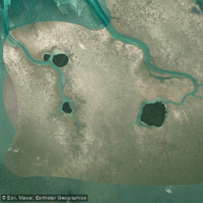
The Bay Keys are a series of tiny mangrove islands located approximately four miles north of Key West, Florida, within the Great White Heron National Wildlife Refuge. The area is characterized by very shallow water surrounding the mangrove keys. A key regulation for paddlers is the presence of a designated no-motor zone encompassing the Bay Keys Wildlife Management Area. This zone prohibits the operation of motorized vessels to protect nesting and roosting birds, including great white herons, tricolored herons, and little blue herons, which minimizes disturbance and creates a quiet paddling environment. Special sanctuary regulations apply to this area, and paddlers should consult the full text of 15 CFR 922 Subpart P for specific rules governing activities. The lack of motorized traffic is a primary feature, though paddlers must remain aware of their position relative to the no-motor zone boundaries. The overall experience is defined by remote, shallow-water exploration among protected mangrove islands with significant birdlife. Due to the exposed marine location, paddlers must be prepared for typical Florida Keys conditions, including significant wind exposure across open water, strong tidal currents, and potential for boat traffic in the surrounding channels outside the protected zone. Accessing this area requires prior planning for a put-in from a nearby location such as Key West.
Water access, boat ramps & amenities
Learn how to get on Bay Keys. Uncover great paddling access points, boat ramps, and all the facilities you need for an unforgettable day on the water. Some locations shown may border or include private property. Always check property boundaries and applicable regulations before visiting. PaddleWays's Public & Private Land layer can help you plan your access with confidence.
Paddle smarter with real-time insights
Whether you're en route and conditions shift or you're looking for the best spot based on current flows, we enable you to make informed decisions on the fly.








Find Places to Paddle

Over 400,000 Places to Paddle
Every user gets free access to launch points, boat ramps, and public property parcels.


Tides, wind & water conditions (10 day forecast)
On open water, wind and tide matter as much as the weather. See the best times to paddle Bay Keys and check the marine forecast before you launch.
Loading tide predictions…
Paddling near Bay Keys
Waltz Key Basin
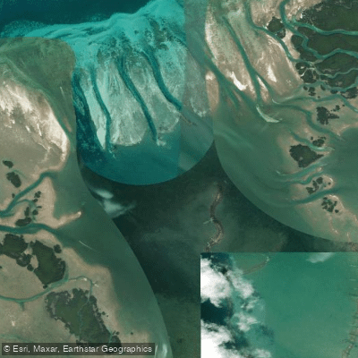
Jewfish Basin
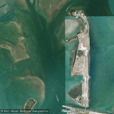
Man of War Harbor
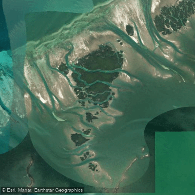
Mud Keys
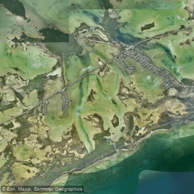
Lower Sugarloaf Sound
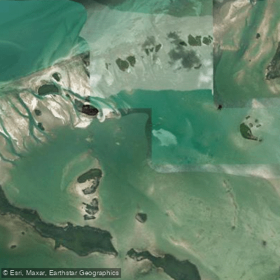
Turkey Basin
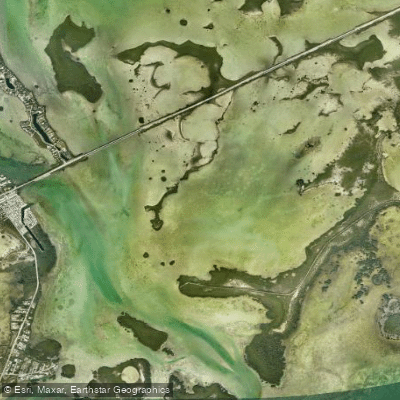
Similar Sound
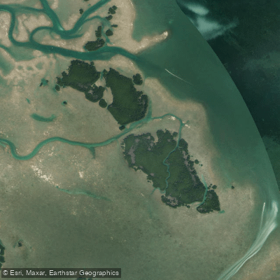
Lower Harbor Keys
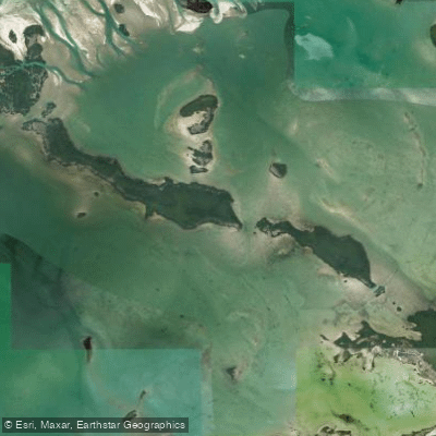
Snipe Keys
Explore Florida waters
Top paddling waters
Popular Cities
Loading popular cities...
Explore near Bay Keys

Smarter Paddling Starts in the App.
Paddleways gives you everything you need to plan smarter, paddle better, and own every trip from first launch to takeout.