Mud Keys
- Saltwater
- Bay
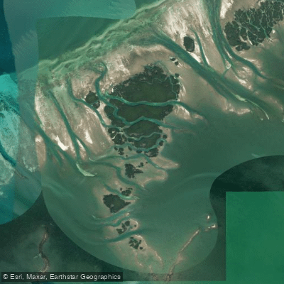
Mud Keys
- Saltwater
- Bay
- Sq. miles
- 3.4
- Boat Ramps
- 0
- Access Points
- 0
- Campsites
- 0
The Mud Keys are a remote, shallow-water archipelago located within the Florida Keys National Marine Sanctuary, northwest of Sugarloaf Key and Key West. This area is characterized by intricate mangrove islands, winding mangrove tunnels, and expansive, crystal-clear shallows. Access for independent paddlers is primarily via the Big Coppitt Key boat ramp, which serves as the launch site for a 12- to 14-mile round-trip paddle that involves significant open-water crossing. The destination is notably secluded, with no road access, making it a peaceful and off-the-grid experience away from typical tourist paths. The paddling environment features white sand bottoms and is known for diverse marine life sightings, including stingrays, tropical fish, sea turtles, dolphins, sharks, and exotic birds. A notable sandbar stop exists in the vicinity, often referred to in relation to the Jewfish Basin, providing a place to relax in pristine waters. The area is part of the Florida Keys, where water temperatures are warm year-round, with the most pleasant and stable conditions typically found outside of the late summer hurricane season. Camping possibilities on the islands are uncertain, as most are either mangrove or coral rock, with no officially designated campsites readily known. The primary paddling route involves navigating through the sanctuary's protected waters, which are shallow, requiring awareness of tides; a strong tidal range can significantly affect water depth and current flow, making timing crucial. The open-water segments of the journey are exposed to wind and waves, and paddlers should be prepared for potential encounters with motorized boat traffic, especially when crossing channels near the launch. The overall character is one of a pristine, natural backcountry adventure best suited for experienced paddlers comfortable with navigation, self-sufficiency, and variable conditions in a sensitive marine ecosystem.
Water access, boat ramps & amenities
Learn how to get on Mud Keys. Uncover great paddling access points, boat ramps, and all the facilities you need for an unforgettable day on the water. Some locations shown may border or include private property. Always check property boundaries and applicable regulations before visiting. PaddleWays's Public & Private Land layer can help you plan your access with confidence.
Paddle smarter with real-time insights
Whether you're en route and conditions shift or you're looking for the best spot based on current flows, we enable you to make informed decisions on the fly.








Find Places to Paddle

Over 400,000 Places to Paddle
Every user gets free access to launch points, boat ramps, and public property parcels.


Tides, wind & water conditions (10 day forecast)
On open water, wind and tide matter as much as the weather. See the best times to paddle Mud Keys and check the marine forecast before you launch.
Loading tide predictions…
Paddling near Mud Keys
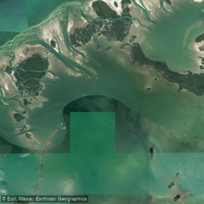
Waltz Key Basin
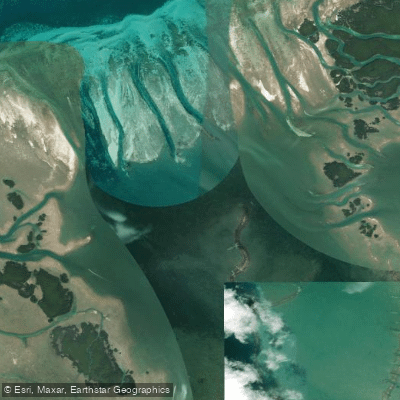
Jewfish Basin
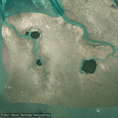
Bay Keys
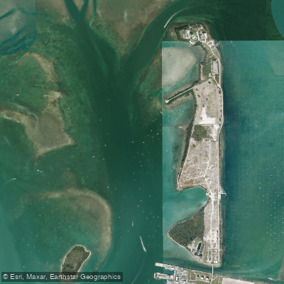
Man of War Harbor
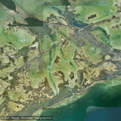
Lower Sugarloaf Sound
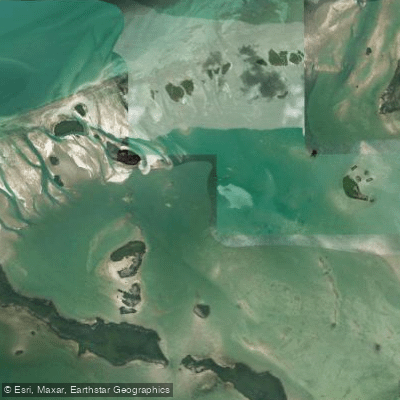
Turkey Basin
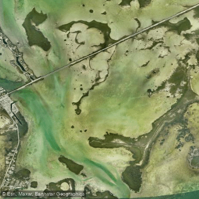
Similar Sound
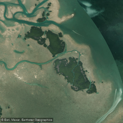
Lower Harbor Keys
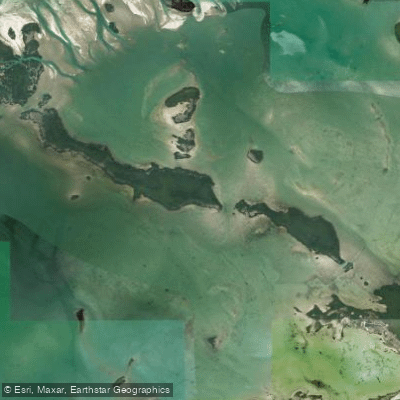
Snipe Keys
Explore Florida waters
Top paddling waters
Popular Cities
Loading popular cities...
Explore near Mud Keys

Smarter Paddling Starts in the App.
Paddleways gives you everything you need to plan smarter, paddle better, and own every trip from first launch to takeout.