Similar Sound
- Saltwater
- Sound
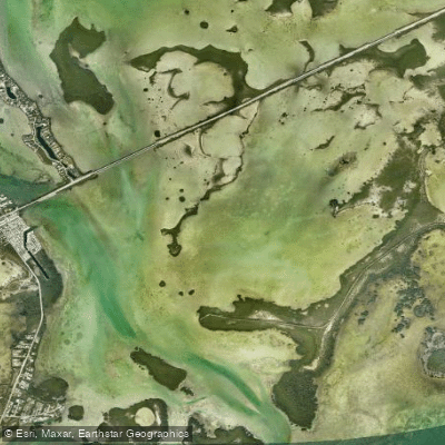
Similar Sound
- Saltwater
- Sound
- Sq. miles
- 2.5
- Boat Ramps
- 2
- Access Points
- 0
- Campsites
- 1
Similar Sound is a coastal sound located in the Florida Keys, specifically within Monroe County, Florida. It is part of a paddling route that loops around a group of small keys, connecting to both protected backcountry waters and the open Atlantic Ocean. The sound features protected waters. A notable access point for paddlers is at Geiger Key, where routes can exit to the Atlantic side between Geiger Key and Saddlebunch Key via Similar Sound. The area features mangrove-lined shores and channels that can be narrow in places, sometimes forming a canopy. The surrounding waters are shallow and the bottom can be marl or rocky in adjacent areas. Paddlers should be acutely aware of tidal currents, which are a significant factor for navigation and effort. One trip report notes a strong current north of U.S. Route 1 flowing against the paddlers, and another describes the importance of timing a paddle with the tide direction for an easier trip, as paddling against the tide presents a notable challenge. The final approach to the Atlantic from Boca Chica can experience a powerful outgoing tide shift. Wind is also a consideration, as paddlers may choose a route direction to paddle into the breeze first. The region is adjacent to the Boca Chica Naval Air Station, with radar installations visible. Wildlife sightings can include nurse sharks, rays, sponges, snapper, needlefish, ibis, green herons, great egrets, and the great white heron. The aesthetic is typical of Florida Keys backcountry: shallow, mangrove-dominated waters with a mix of protected sounds and open ocean crossings.
Water access, boat ramps & amenities
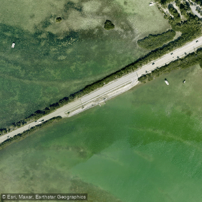
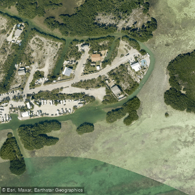
Learn how to get on Similar Sound. Uncover great paddling access points, boat ramps, and all the facilities you need for an unforgettable day on the water. Some locations shown may border or include private property. Always check property boundaries and applicable regulations before visiting. PaddleWays's Public & Private Land layer can help you plan your access with confidence.
Paddle smarter with real-time insights
Whether you're en route and conditions shift or you're looking for the best spot based on current flows, we enable you to make informed decisions on the fly.








Find Places to Paddle

Over 400,000 Places to Paddle
Every user gets free access to launch points, boat ramps, and public property parcels.


Tides, wind & water conditions (10 day forecast)
On open water, wind and tide matter as much as the weather. See the best times to paddle Similar Sound and check the marine forecast before you launch.
Loading tide predictions…
Paddling near Similar Sound
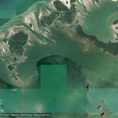
Waltz Key Basin
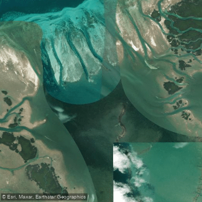
Jewfish Basin
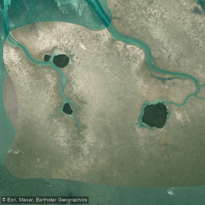
Bay Keys
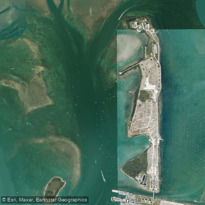
Man of War Harbor
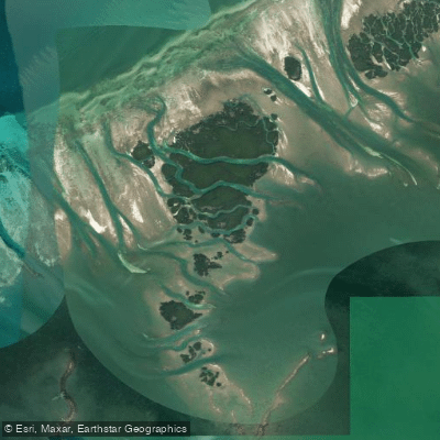
Mud Keys
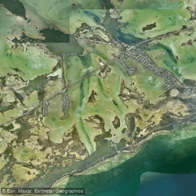
Lower Sugarloaf Sound
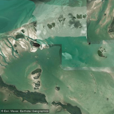
Turkey Basin
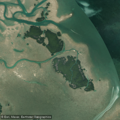
Lower Harbor Keys
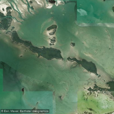
Snipe Keys
Explore Florida waters
Top paddling waters
Popular Cities
Loading popular cities...
Explore near Similar Sound
Access points
Nearby waters
More in Florida

Smarter Paddling Starts in the App.
Paddleways gives you everything you need to plan smarter, paddle better, and own every trip from first launch to takeout.