Lower Sugarloaf Sound
- Saltwater
- Sound
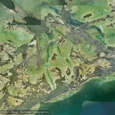
Lower Sugarloaf Sound
- Saltwater
- Sound
- Sq. miles
- 6.3
- Boat Ramps
- 0
- Access Points
- 0
- Campsites
- 3
Lower Sugarloaf Sound is a secluded, mangrove-lined saltwater bay located in Monroe County, Florida, just south of Sugarloaf Key. This coastal sound is characterized by shallow, sandy flats and marshy areas, creating a complex environment ideal for kayaking and paddleboarding. The primary launch point for paddlers is Sammy Creek Landing, which provides direct access to the sound. The surrounding area features undeveloped islands and a network of connecting channels, including Lower Sugarloaf Channel and Harris Channel to the north. Paddlers should be aware of boat traffic, particularly in these channels, which serve as routes for powerboats. The waters are generally protected by the mangrove shoreline, but open sections can be exposed to wind. A significant historical landmark visible from the water is the Bat Tower, a structure built in the early 1900s that stands as a historic landmark on Lower Sugarloaf Key. The sound connects to Florida Bay and the Gulf of Mexico via Sugarloaf Creek, meaning tidal currents are a factor for trip planning; paddlers must consider tide stages when navigating the shallow flats and creek. The area is rich in wildlife, including bonefish, permit, tarpon, and barracuda, and the dense mangrove forests provide habitat for diverse flora and fauna. Facilities are limited, with the main amenity being the launch at Sammy Creek. Several nearby vacation rentals offer complimentary kayaks and access to community boat ramps, providing alternative starting points.
Water access, boat ramps & amenities
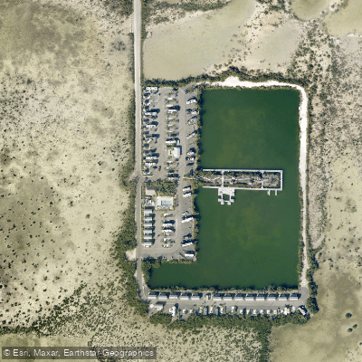
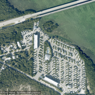
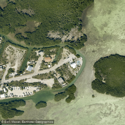
Learn how to get on Lower Sugarloaf Sound. Uncover great paddling access points, boat ramps, and all the facilities you need for an unforgettable day on the water. Some locations shown may border or include private property. Always check property boundaries and applicable regulations before visiting. PaddleWays's Public & Private Land layer can help you plan your access with confidence.
Paddle smarter with real-time insights
Whether you're en route and conditions shift or you're looking for the best spot based on current flows, we enable you to make informed decisions on the fly.








Find Places to Paddle

Over 400,000 Places to Paddle
Every user gets free access to launch points, boat ramps, and public property parcels.


Tides, wind & water conditions (10 day forecast)
On open water, wind and tide matter as much as the weather. See the best times to paddle Lower Sugarloaf Sound and check the marine forecast before you launch.
Loading tide predictions…
Paddling near Lower Sugarloaf Sound
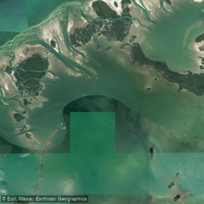
Waltz Key Basin
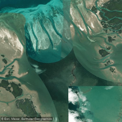
Jewfish Basin
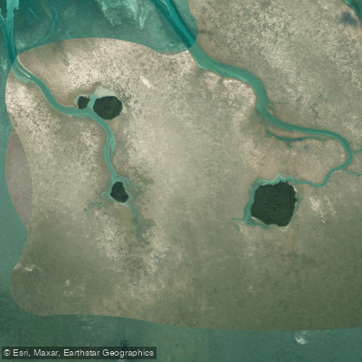
Bay Keys
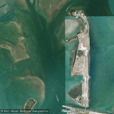
Man of War Harbor

Mud Keys
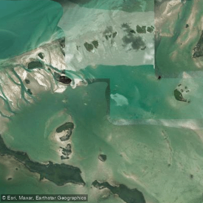
Turkey Basin
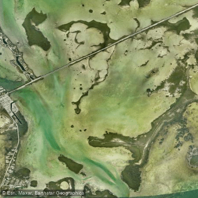
Similar Sound
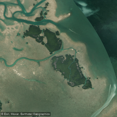
Lower Harbor Keys
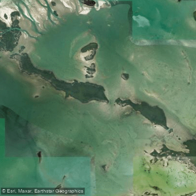
Snipe Keys
Explore Florida waters
Top paddling waters
Popular Cities
Loading popular cities...
Explore near Lower Sugarloaf Sound

Smarter Paddling Starts in the App.
Paddleways gives you everything you need to plan smarter, paddle better, and own every trip from first launch to takeout.