Lower Harbor Keys
- Saltwater
- Harbor
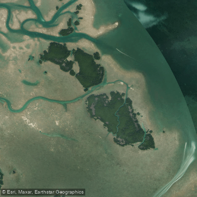
Lower Harbor Keys
- Saltwater
- Harbor
- Sq. miles
- 1
- Boat Ramps
- 0
- Access Points
- 0
- Campsites
- 1
The Lower Harbor Keys are a group of mangrove islands located in the Florida Keys, approximately 7.5 to 9 miles northeast of Key West. This area is designated as a Wildlife Management Area, encompassing 55 acres with idle speed and no-wake regulations in its navigable channels. The islands are dissected by tidal creeks and lack dry land, creating a maze-like environment for paddlers to explore. The primary access point for a trip to the Lower Harbor Keys is from Boca Chica Key. Launch sites include a boat ramp and kayak put-ins along Boca Chica Channel. For those with military access, the Boca Chica Naval Air Station marina offers a secure ramp and parking. Public alternatives include marinas on Stock Island. Paddlers should be aware of significant powerboat traffic in the area, as launches like those north of Mallory Square in Key West cater mainly to larger vessels, and secure vehicle parking can be a concern in some locations.
The paddling experience involves navigating through shallow Gulfside flats and the channels that cut through them. These channels experience water movement influenced by the tides, which is a critical factor for trip planning. The area is known for its extensive, firm sand flats which are beginning at the Lower Harbor Keys and extending eastward. A notable natural feature is a small reef that abruptly marks the boundary between the shallow Keys waters and the deeper Gulf of Mexico. The environment is rich with wildlife, including nesting sites for great white herons, double-crested cormorants, osprey, and various wading birds. Given the exposure to the open Gulf of Mexico on its western side, paddlers can expect potential wind and wave fetch, making conditions highly dependent on weather. The route from Boca Chica Key to the Lower Harbor Keys covers several miles of open water, requiring careful attention to navigation, tide schedules to utilize current flow, and awareness of boat traffic in the channels.
Water access, boat ramps & amenities
Learn how to get on Lower Harbor Keys. Uncover great paddling access points, boat ramps, and all the facilities you need for an unforgettable day on the water. Some locations shown may border or include private property. Always check property boundaries and applicable regulations before visiting. PaddleWays's Public & Private Land layer can help you plan your access with confidence.
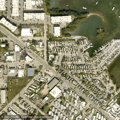
Paddle smarter with real-time insights
Whether you're en route and conditions shift or you're looking for the best spot based on current flows, we enable you to make informed decisions on the fly.








Find Places to Paddle

Over 400,000 Places to Paddle
Every user gets free access to launch points, boat ramps, and public property parcels.


Tides, wind & water conditions (10 day forecast)
On open water, wind and tide matter as much as the weather. See the best times to paddle Lower Harbor Keys and check the marine forecast before you launch.
Loading tide predictions…
Paddling near Lower Harbor Keys
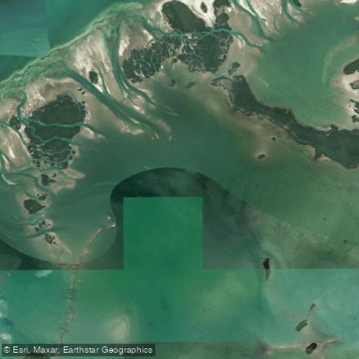
Waltz Key Basin
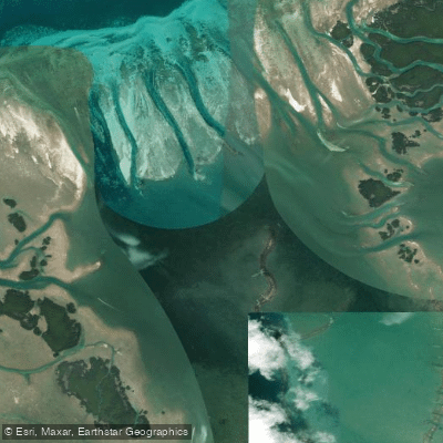
Jewfish Basin
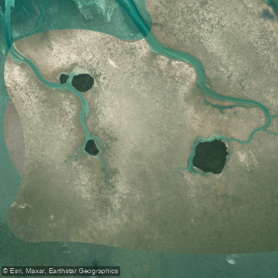
Bay Keys
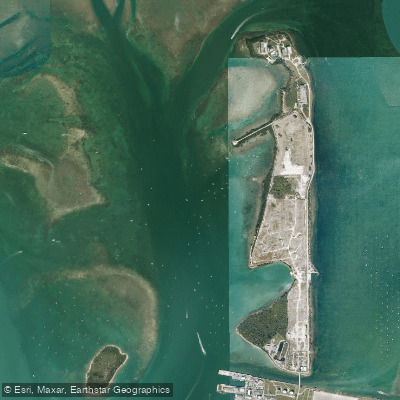
Man of War Harbor

Mud Keys
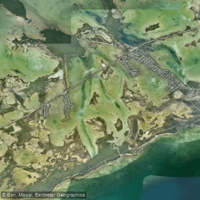
Lower Sugarloaf Sound
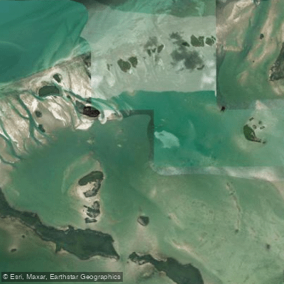
Turkey Basin
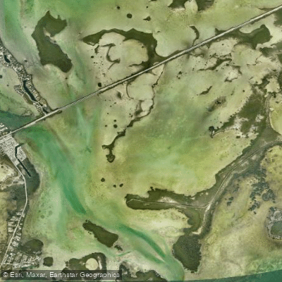
Similar Sound
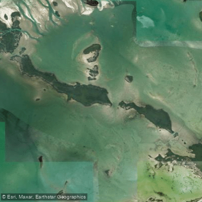
Snipe Keys
Explore Florida waters
Top paddling waters
Popular Cities
Loading popular cities...
Explore near Lower Harbor Keys

Smarter Paddling Starts in the App.
Paddleways gives you everything you need to plan smarter, paddle better, and own every trip from first launch to takeout.