Turkey Basin
- Saltwater
- Bay
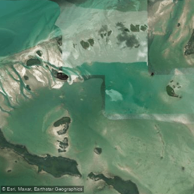
Turkey Basin
- Saltwater
- Bay
- Sq. miles
- 5
- Boat Ramps
- 0
- Access Points
- 0
- Campsites
- 0
Turkey Basin is a significant open-water feature within the Florida Keys backcountry, located between Sugarloaf Key and Marvin Key. It is a shallow saltwater basin characterized by extensive flats, coral beds, and clear water. The primary paddling routes involve crossing the basin, often as part of a trip to destinations like Marvin Key or Snipe Keys from launch points such as Sugarloaf Key. A common access point is the Sugarloaf Key KOA campground, from which paddlers proceed under the US-1 bridge into Bow Channel and then out into Turkey Basin. The basin is exposed and can become quite rough on windy days, with a long fetch that builds chop; a sprayskirt is heavily recommended. Tides are a critical planning factor, as they run strong through the narrow channels between keys and shoals. On very low tides, especially when combined with wind, the water can be blown out, exposing the sea bed for miles and making travel impossible. Paddlers must time trips to work with the tides. The area is part of the Great White Heron National Wildlife Refuge, and while some private keys like Marvin allow limited public use, refuge islands are generally off-limits. On weekends and holidays, Marvin Key is a popular destination for boaters, creating a busy "sandbar party" atmosphere. Navigation across the open basin requires a good map and compass; a GPS is recommended. The crossing offers sightings of sea turtles and passes over lush coral beds.
Water access, boat ramps & amenities
Learn how to get on Turkey Basin. Uncover great paddling access points, boat ramps, and all the facilities you need for an unforgettable day on the water. Some locations shown may border or include private property. Always check property boundaries and applicable regulations before visiting. PaddleWays's Public & Private Land layer can help you plan your access with confidence.
Paddle smarter with real-time insights
Whether you're en route and conditions shift or you're looking for the best spot based on current flows, we enable you to make informed decisions on the fly.








Find Places to Paddle

Over 400,000 Places to Paddle
Every user gets free access to launch points, boat ramps, and public property parcels.


Tides, wind & water conditions (10 day forecast)
On open water, wind and tide matter as much as the weather. See the best times to paddle Turkey Basin and check the marine forecast before you launch.
Loading tide predictions…
Paddling near Turkey Basin
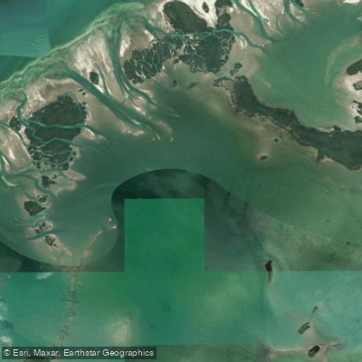
Waltz Key Basin
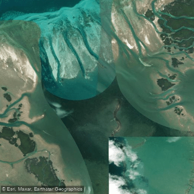
Jewfish Basin
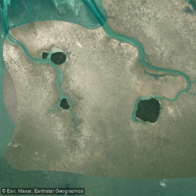
Bay Keys
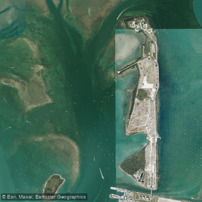
Man of War Harbor
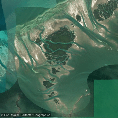
Mud Keys
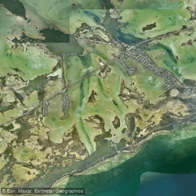
Lower Sugarloaf Sound
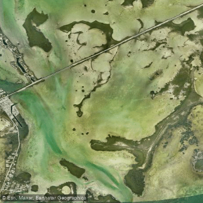
Similar Sound
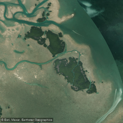
Lower Harbor Keys
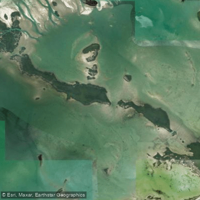
Snipe Keys
Explore Florida waters
Top paddling waters
Popular Cities
Loading popular cities...
Explore near Turkey Basin

Smarter Paddling Starts in the App.
Paddleways gives you everything you need to plan smarter, paddle better, and own every trip from first launch to takeout.