Waltz Key Basin
- Saltwater
- Bay
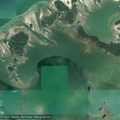
Waltz Key Basin
- Saltwater
- Bay
- Sq. miles
- 6.9
- Boat Ramps
- 0
- Access Points
- 0
- Campsites
- 1
Waltz Key Basin is a shallow, coastal saltwater basin on the Gulf of Mexico side of the Florida Keys, near Big Coppitt Key. The primary public access for paddlers is the Gulf View Park Boat Ramp, also known as the Barcelona Boat Ramp, located at the north end of Barcelona Drive near Mile Marker 9.3. This is a single-lane concrete ramp designed for small boats and kayaks, offering direct access to the basin. Parking is extremely limited, with only about five trailer spots in an adjacent gravel lot, requiring paddlers to be respectful of the residential neighborhood and have a backup plan if the lot is full. There are no docks, restrooms, or other facilities at this launch. Once on the water, the basin itself provides calm, protected conditions with gentle currents, suitable for relaxed wildlife viewing and exploration. To reach the open waters of the Gulf of Mexico, paddlers must navigate through extensive shallow flats, which are a significant hazard for deeper draft vessels. Upon exiting the basin, wind fetch from the open Gulf becomes a factor, and motorboat traffic may be present, necessitating awareness of wake zones, especially near marinas and narrow canals where 'Idle Speed, No Wake' rules are enforced. The area is characterized by mangrove shorelines and backcountry waters. Tidal data for a station on the northeast side of Big Coppitt Key within the basin shows a typical tidal range of approximately two feet, with two high and two low tides each day. Paddlers should consult current tide charts, as the shallow flats can become impassable at very low tides. The basin connects to both the Gulf of Mexico and the Atlantic Ocean via channels, making it a throughway for boat traffic.
Water access, boat ramps & amenities
Learn how to get on Waltz Key Basin. Uncover great paddling access points, boat ramps, and all the facilities you need for an unforgettable day on the water. Some locations shown may border or include private property. Always check property boundaries and applicable regulations before visiting. PaddleWays's Public & Private Land layer can help you plan your access with confidence.
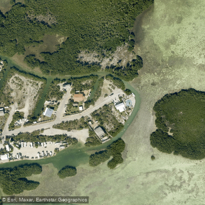
Paddle smarter with real-time insights
Whether you're en route and conditions shift or you're looking for the best spot based on current flows, we enable you to make informed decisions on the fly.








Find Places to Paddle

Over 400,000 Places to Paddle
Every user gets free access to launch points, boat ramps, and public property parcels.


Tides, wind & water conditions (10 day forecast)
On open water, wind and tide matter as much as the weather. See the best times to paddle Waltz Key Basin and check the marine forecast before you launch.
Loading tide predictions…
Paddling near Waltz Key Basin
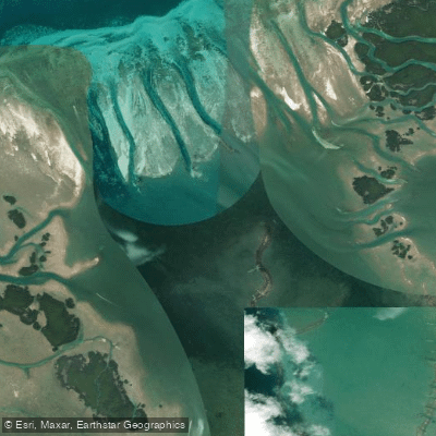
Jewfish Basin
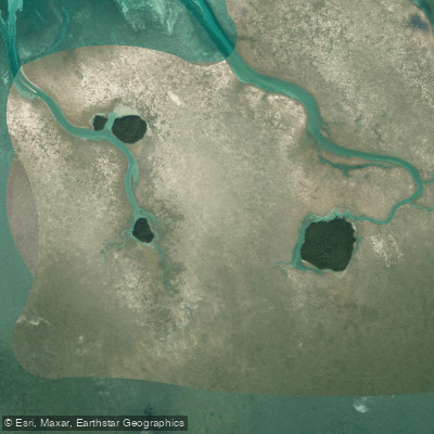
Bay Keys
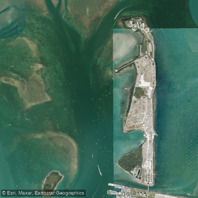
Man of War Harbor
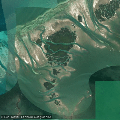
Mud Keys
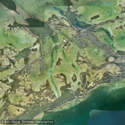
Lower Sugarloaf Sound
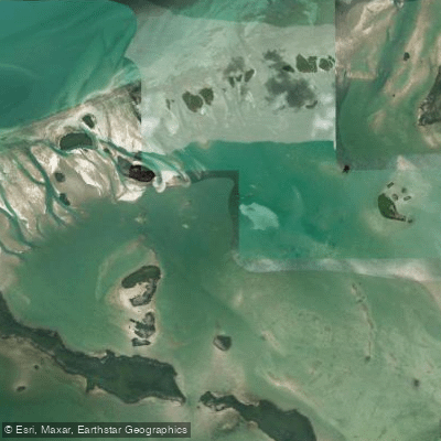
Turkey Basin
Similar Sound
Lower Harbor Keys
Snipe Keys
Explore Florida waters
Top paddling waters
Popular Cities
Loading popular cities...
Explore near Waltz Key Basin

Smarter Paddling Starts in the App.
Paddleways gives you everything you need to plan smarter, paddle better, and own every trip from first launch to takeout.