Snipe Keys
- Saltwater
- Bay
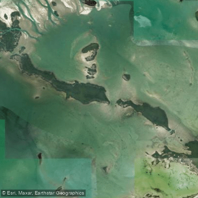
Snipe Keys
- Saltwater
- Bay
- Sq. miles
- 3.1
- Boat Ramps
- 0
- Access Points
- 0
- Campsites
- 0
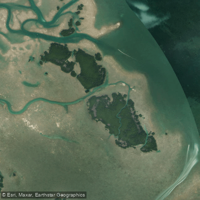
Snipe Keys is a group of small islands located in the Lower Keys of Florida, approximately 16 miles northeast of Key West. The area is characterized by extensive mangrove shorelines, shallow clear waters, and sandy shoals that become exposed as sandbars during low tide. The water is crystal clear, turquoise, and very shallow, often only a couple of feet deep over large expanses, making it suitable for wading and stable for paddling. The primary access points for paddlers launching human-powered craft are from the Sugarloaf Key area. Specific launch sites include the Sugarloaf Lodge marina and the vicinity of the Sugarloaf Airport, though the marina next to the Sugarloaf Lodge is a common put-in. The area is remote, offering a profound sense of tranquility and silence, far from traffic and crowds. The Snipe Keys Wildlife Management Area enforces specific regulations for paddlers, including idle-speed, no-wake zones in the main tidal creek and no-motor zones in the remainder of the creeks. Tidal currents in the creeks on the outer keys can be strong, a critical factor for trip planning. The tidal range is significant, with a typical range of over 3 feet and low tides sometimes dropping below zero, which dramatically exposes sandbars and can affect navigation in the shallows. The area is exposed to the Gulf of Mexico, and wind can be a major consideration; paddlers frequently mention hoping for low winds. The fetch across the open, shallow bays can create choppy conditions. The region is biologically rich, with common sightings of rays, sharks, barracuda, stingrays, horseshoe crabs, and abundant birdlife including terns and herons. While there is interest in camping, no designated or commonly known campsites on the islands themselves are confirmed, which are either mangrove or coral rock. The best time for paddling is suggested to be the winter season, coinciding with typically calmer weather patterns in the Florida Keys.
Water access, boat ramps & amenities
Learn how to get on Snipe Keys. Uncover great paddling access points, boat ramps, and all the facilities you need for an unforgettable day on the water. Some locations shown may border or include private property. Always check property boundaries and applicable regulations before visiting. PaddleWays's Public & Private Land layer can help you plan your access with confidence.
Paddle smarter with real-time insights
Whether you're en route and conditions shift or you're looking for the best spot based on current flows, we enable you to make informed decisions on the fly.








Find Places to Paddle

Over 400,000 Places to Paddle
Every user gets free access to launch points, boat ramps, and public property parcels.


Tides, wind & water conditions (10 day forecast)
On open water, wind and tide matter as much as the weather. See the best times to paddle Snipe Keys and check the marine forecast before you launch.
Loading tide predictions…
Paddling near Snipe Keys
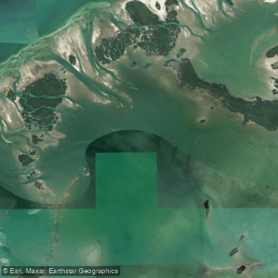
Waltz Key Basin
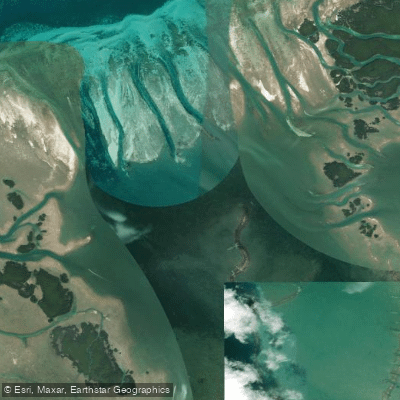
Jewfish Basin
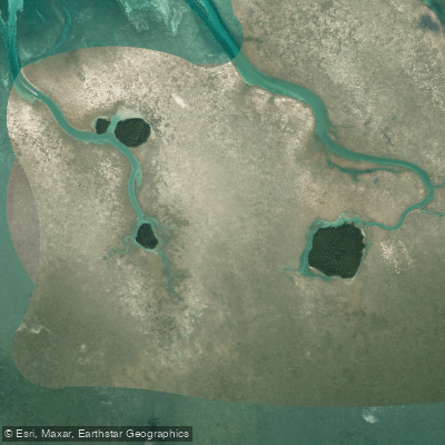
Bay Keys
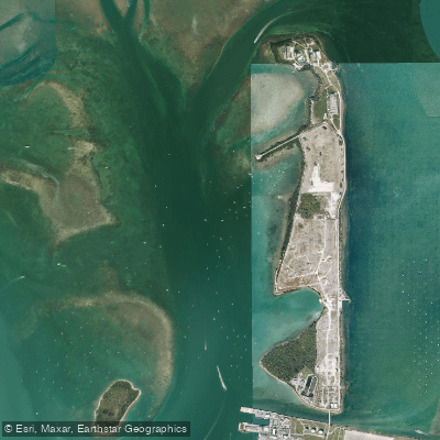
Man of War Harbor

Mud Keys
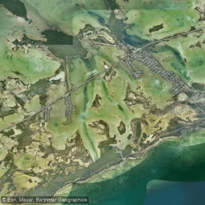
Lower Sugarloaf Sound
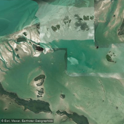
Turkey Basin
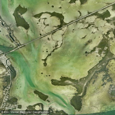
Similar Sound
Lower Harbor Keys
Explore Florida waters
Top paddling waters
Popular Cities
Loading popular cities...
Explore near Snipe Keys

Smarter Paddling Starts in the App.
Paddleways gives you everything you need to plan smarter, paddle better, and own every trip from first launch to takeout.