Little River
Little River
- Boat Ramps
- 0
- Access Points
- 2
- Campsites
- 3
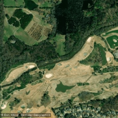
Little River originates in Cherokee County, Georgia, flowing southward through the suburban landscape before emptying into Lake Allatoona. This tributary of the Etowah River winds through a landscape that transitions from wooded corridors to developed areas, offering paddlers an accessible escape within the Atlanta metropolitan region.
The river's most popular paddling section begins at Olde Rope Mill Park near Woodstock in Cherokee County. From this historic launch point, paddlers navigate gentle Class I flatwater with occasional small rapids, making this an ideal beginner-friendly route. The river maintains a relatively gentle current throughout most conditions, though water levels can fluctuate based on recent rainfall. The approximately 3-mile paddle from Rope Mill Park to Allatoona Falls (also known as Toonigh Creek Falls) represents the signature journey on this waterway, taking most paddlers 2-3 hours depending on pace and water conditions.
Paddling is best during spring and early summer when water levels remain sufficient for comfortable navigation. Late summer and fall can see reduced flows that may require occasional portaging over shallow sections. The river passes beneath Interstate 575, creating a brief industrial interlude before returning to more natural surroundings as it approaches Lake Allatoona.
The highlight of any Little River paddle is reaching Allatoona Falls, where Toonigh Creek cascades over rock outcroppings in a series of drops totaling approximately 25 feet. The falls become partially submerged when lake levels rise, but remain an attractive destination year-round. The area around the falls features slippery rocks that require caution when exploring.
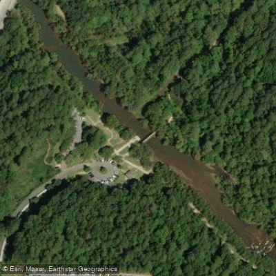
Olde Rope Mill Park serves as the primary access point, offering parking, restrooms, and a designated launch area. The park itself contains remnants of a 19th-century rope manufacturing operation, adding historical context to the paddling experience. Holly Springs provides the nearest town amenities, while Woodstock offers additional services within minutes of the launch site.
Wildlife along Little River includes typical Piedmont species: great blue herons, belted kingfishers, various turtle species, and occasional beaver activity. The riparian corridor supports sycamore, river birch, and mixed hardwoods, with mountain laurel appearing along steeper banks.
Paddlers should note that portions of the river pass through areas with limited emergency access. Cell phone coverage can be spotty in the more remote sections. A Georgia fishing license is required for anglers, and all paddlers must carry a personal flotation device. The river sees moderate recreational use, particularly on weekends during warmer months, with kayakers, canoeists, and stand-up paddleboarders sharing the waterway.
Water access, boat ramps & amenities
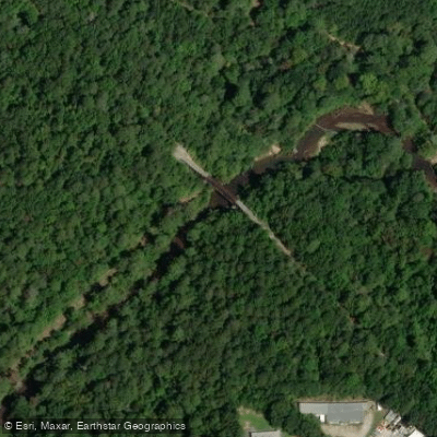
Learn how to get on Little River. Uncover great paddling access points, boat ramps, and all the facilities you need for an unforgettable day on the water. Some locations shown may border or include private property. Always check property boundaries and applicable regulations before visiting. PaddleWays's Public & Private Land layer can help you plan your access with confidence.
Paddle smarter with real-time insights
Whether you're en route and conditions shift or you're looking for the best spot based on current flows, we enable you to make informed decisions on the fly.








Find Places to Paddle

Over 400,000 Places to Paddle
Every user gets free access to launch points, boat ramps, and public property parcels.


Water and weather conditions (10 day forecast)
See the best times to paddle Little River and check the forecast before you go.
LITTLE RIVER AT GA 5, NEAR WOODSTOCK, GA
Paddling near Little River
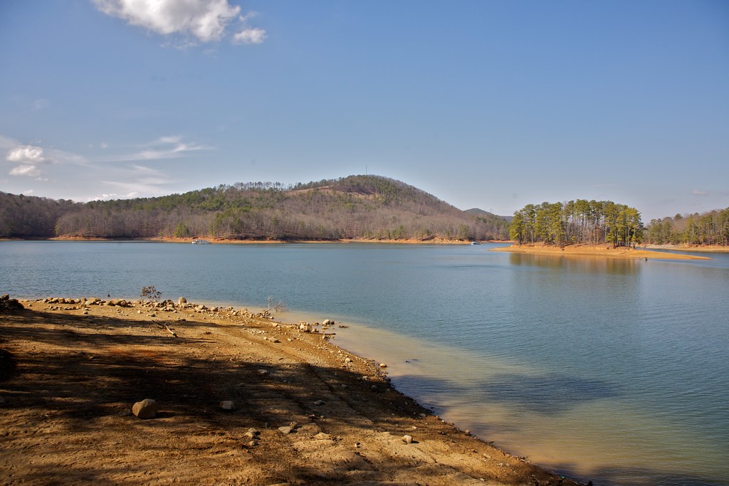
Allatoona Lake

Chattahoochee River
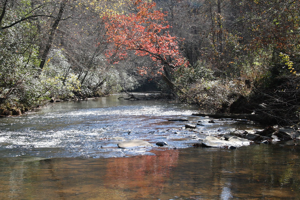
Etowah River
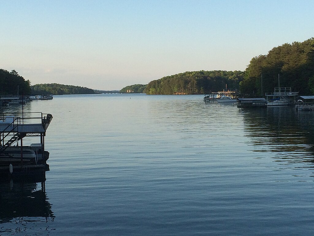
Lake Sidney Lanier

Flint River
Toccoa River
Weiss Lake
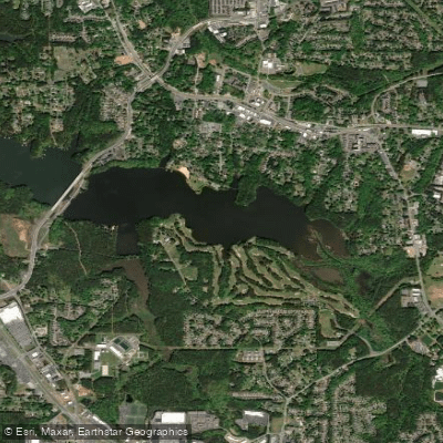
Lake Acworth
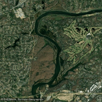
Bull Sluice Lake
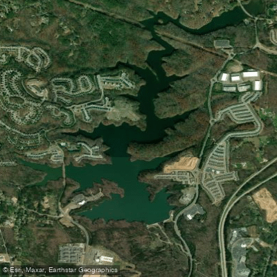
Canton Mills Lake
Explore Georgia waters
Top paddling waters
Popular Cities
Loading popular cities...
Explore near Little River
Access points
Nearby waters
More in Georgia

Smarter Paddling Starts in the App.
Paddleways gives you everything you need to plan smarter, paddle better, and own every trip from first launch to takeout.