Wassaw Sound
- Saltwater
- Sound
Wassaw Sound
- Saltwater
- Sound
- Sq. miles
- 12
- Boat Ramps
- 1
- Access Points
- 0
- Campsites
- 1
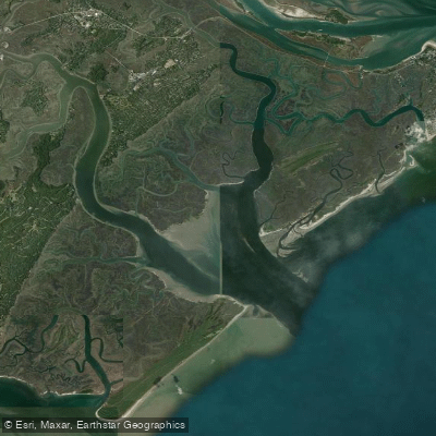
Wassaw Sound is a broad, open coastal sound on the Georgia coast, bordered by Tybee Island to the north and Wassaw Island to the south. It connects the Wilmington River to the Atlantic Ocean and is characterized by vast salt marshes, interconnecting tidal creeks, and barrier islands. Paddling here involves significant open water crossings with exposure to wind, waves, and strong tidal currents. A primary route for paddlers is the approximately 15-mile journey down the Wilmington River into the sound to reach Wassaw Island, a National Wildlife Refuge. This trip is often planned as a full-day expedition of six to seven hours. Timing the paddle with the tidal flow is critical, as guides recommend a "go-with-the-flow" approach, paddling with the tide for efficiency. The sound can develop substantial wave conditions, with reports of three-foot waves building when wind opposes tide, creating challenging beam seas. The area is also used by motorboats and was historically the site of an Olympic yachting marina, indicating potential for vessel traffic.
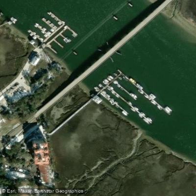
Key public launch points for accessing the sound include the boat ramp on Lazaretto Creek on Tybee Island, which is a large ramp with a dock, and the public ramp next to the Skidaway Island bridge just off Diamond Causeway. Marinas at Isle of Hope or Skidaway Island also provide convenient access. Landing on Wassaw Island is permitted at a dock on Wassaw Creek for day use only, but overnight mooring is not allowed; boats must moor off the ends of the island. The refuge is open year-round for day use, though it closes for several days during fall deer hunts. The interior trails of the island are off-limits, but the ocean-side beaches and about 20 miles of trails on the barrier ridge are open for hiking. The surrounding environment features rolling dunes, old-growth live oak and slash pine forests, and is home to dolphins, osprey, egrets, and a variety of wading birds. The best chart for navigation is NOAA 11512 "Savannah River and Wassaw Sound."
Water access, boat ramps & amenities
Learn how to get on Wassaw Sound. Uncover great paddling access points, boat ramps, and all the facilities you need for an unforgettable day on the water. Some locations shown may border or include private property. Always check property boundaries and applicable regulations before visiting. PaddleWays's Public & Private Land layer can help you plan your access with confidence.
Paddle smarter with real-time insights
Whether you're en route and conditions shift or you're looking for the best spot based on current flows, we enable you to make informed decisions on the fly.








Find Places to Paddle

Over 400,000 Places to Paddle
Every user gets free access to launch points, boat ramps, and public property parcels.


Tides, wind & water conditions (10 day forecast)
On open water, wind and tide matter as much as the weather. See the best times to paddle Wassaw Sound and check the marine forecast before you launch.
Loading tide predictions…
Paddling near Wassaw Sound

Savannah River
Altamaha River
Vernon River
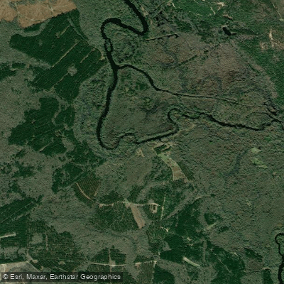
Ogeechee River
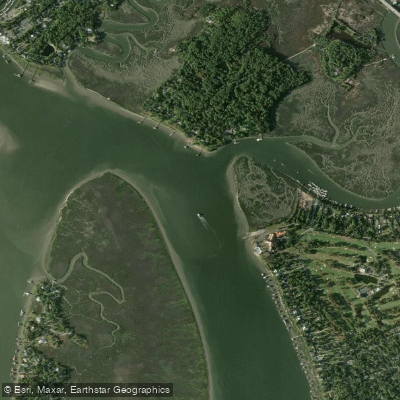
Wilmington River
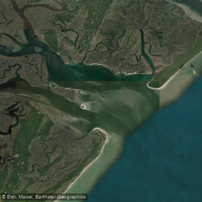
Ossabaw Sound
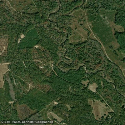
Canoochee River
Sands Pond
Turner Creek
Explore Georgia waters
Top paddling waters
Popular Cities
Loading popular cities...
Explore near Wassaw Sound
Access points
Nearby waters
More in Georgia

Smarter Paddling Starts in the App.
Paddleways gives you everything you need to plan smarter, paddle better, and own every trip from first launch to takeout.