Curated by PaddleWays
RouteFlatwater
- Distance
- 1.1 mi
- Paddle time
- ~0.5 hrs
- Best for
- Beginners, intermediate paddlers
- Put-in → take-out
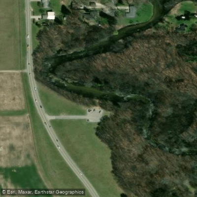
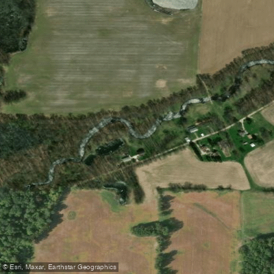
- Willowdale Park Access → High Dive Park Access
Logs to navigate around in creek
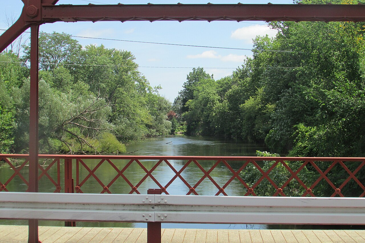
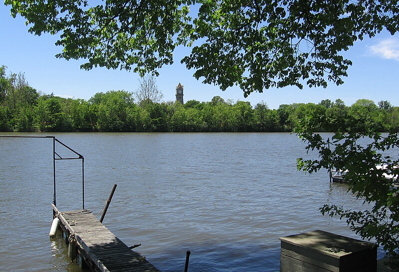
Christiana Creek is a scenic waterway that flows approximately 20 miles from Christiana Lake in southwest Michigan southward into northern Indiana, where it joins the St. Joseph River in Elkhart. This creek system offers paddlers a diverse experience, transitioning from tranquil lake paddling to more dynamic creek conditions. The creek's journey begins at Christiana Lake, meandering through a chain of small lakes including Juno Lake before entering a more defined channel. As it flows south into Indiana, the creek picks up speed and character, providing a mix of lazy flatwater and swifter sections with minor rapids.
Paddling opportunities on Christiana Creek cater to a range of skill levels. The upper sections in Michigan, particularly the Juno Lake to Redfield Access stretch, offer an easy 5-mile paddle perfect for beginners and families. This section typically takes about 2 hours and showcases the area's natural beauty. As the creek enters Indiana, it becomes more challenging. The section from Redfield Access to the St. Joseph River confluence spans about 10-12 miles and features faster water with natural obstacles, suitable for intermediate paddlers. This stretch passes by the Elkhart airport and transitions from rural to more urban landscapes, taking approximately 4 hours to complete.
The lower sections in Elkhart offer shorter, more accessible runs. The 1.8-mile stretch from Willowdale Park to Beardsley Park includes several Class I rapids, providing a fun urban paddling experience with opportunities to practice basic whitewater skills.
Christiana Creek is best paddled in spring and early summer when water levels are higher. The watershed supports diverse wildlife, with opportunities to spot various bird species and potentially deer or other mammals along the more secluded banks.
Key access points include Juno Lake Access in Edwardsburg, MI; Redfield Access on Redfield Street in Edwardsburg; Willowdale Park and High Dive Park in Elkhart, IN. The creek passes through several parks and green spaces in Elkhart, including the Wellfield Botanic Gardens, offering pleasant stops along longer trips.
Paddlers should be aware of potential logjams and strainers, especially after high water events. Local regulations may apply, particularly within Elkhart city limits. While most trips are easily completed in a day, the full length of the creek could be paddled as a two-day adventure for those seeking a more immersive experience.
Christiana Creek not only provides recreational opportunities but also plays a vital role in the local ecosystem and water supply, with parts of it serving as a water source for the City of Elkhart. Its journey from rural Michigan to urban Indiana offers paddlers a unique perspective on the region's geography and development.
Curated routes
Hand-picked by the PaddleWays team, with put-ins, take-outs, paddle times and the hazards along the way.
RouteFlatwater
RouteClass II
Hazards
No hazards are marked on Christiana Creek yet. That is not the same as none being there: if you find one, report it for the next paddler.
From the community
Nobody has shared a trip on Christiana Creek yet. Paddle it, then tell the next paddler how it went.
See exactly where the public can get on and off the river. Launch points and boat ramps are paired with PaddleWays' public land data so you know where you can legally land.
Public shoreline
5%of the river's shoreline is public
Most of the riverbank is private. Launch, land and camp only at public access points.
Flows, weather and a route-by-route verdict, so you know which stretch of the Christiana Creek is worth paddling today.
No forecast data available.
Live flows, marked hazards and fresh trip reports from paddlers who were just on the water, all in one place.





Every user gets free access to launch points, boat ramps, and public property parcels.

Loading popular cities...
PaddleWays gives you everything you need to plan smarter, paddle better, and own every trip from first launch to takeout.