
Ashley B.
Kayak •
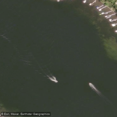
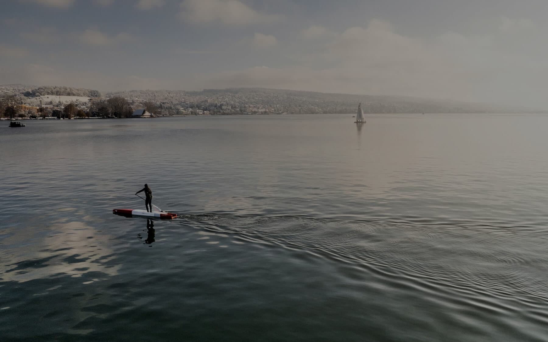
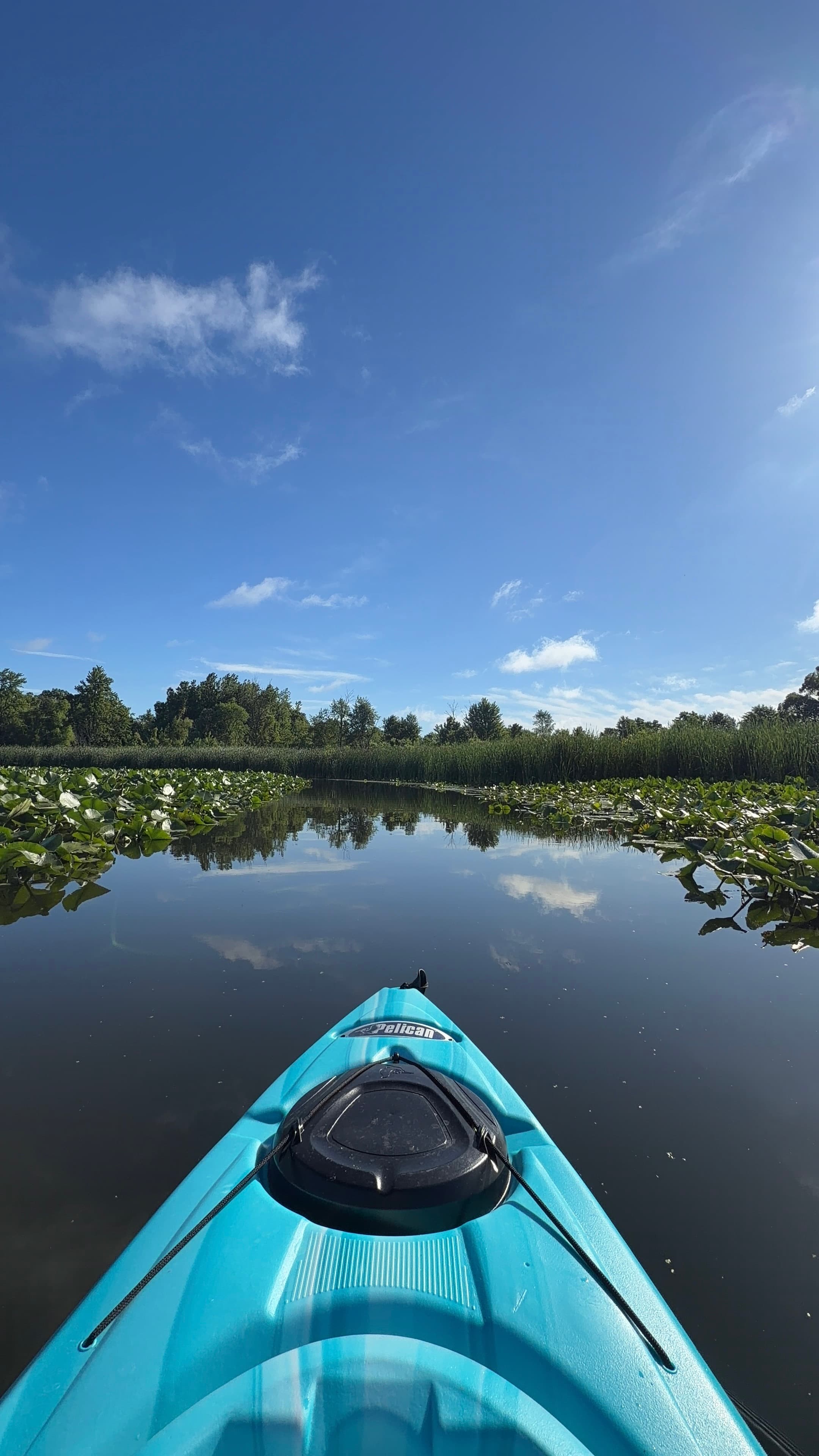
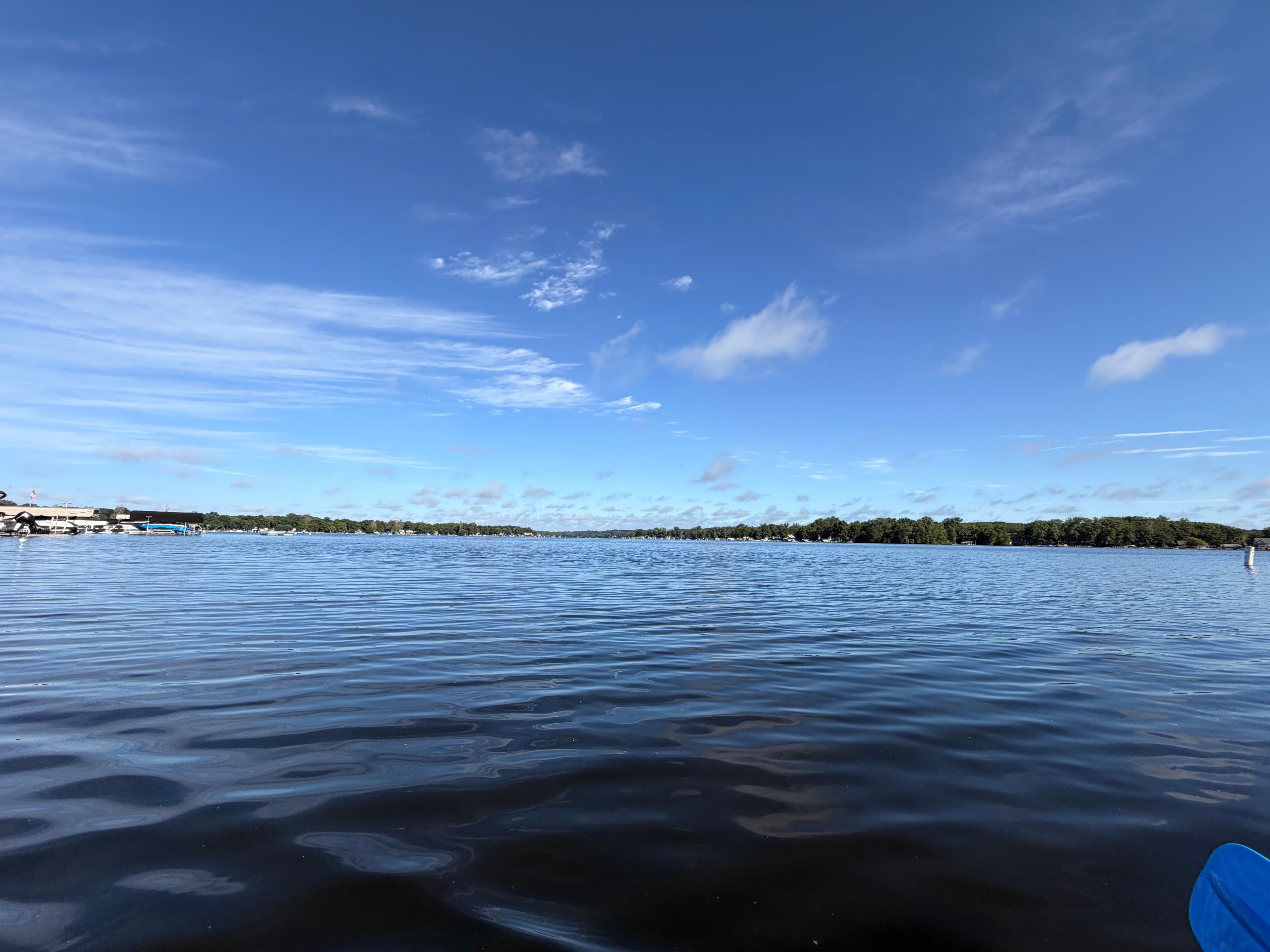
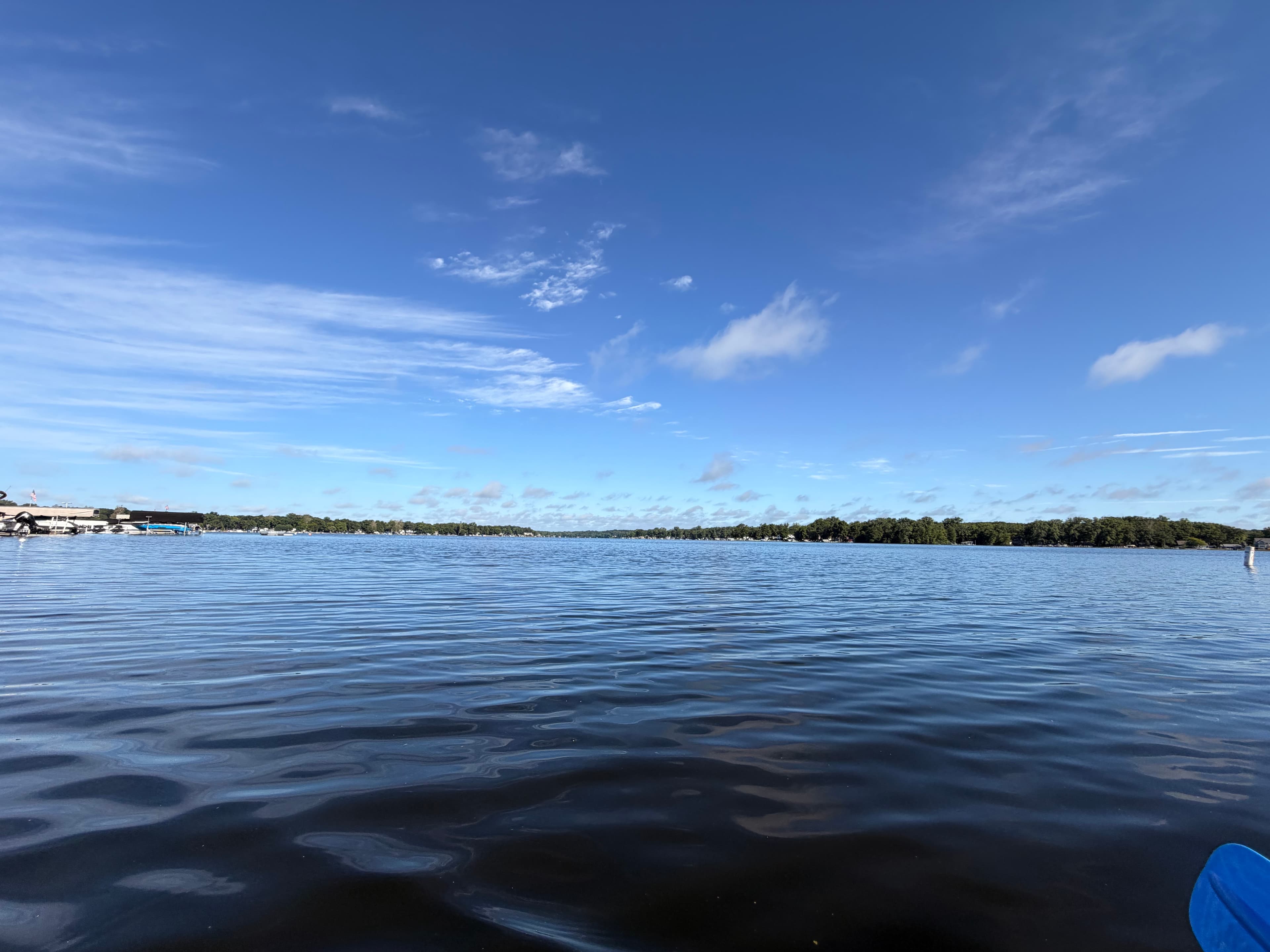
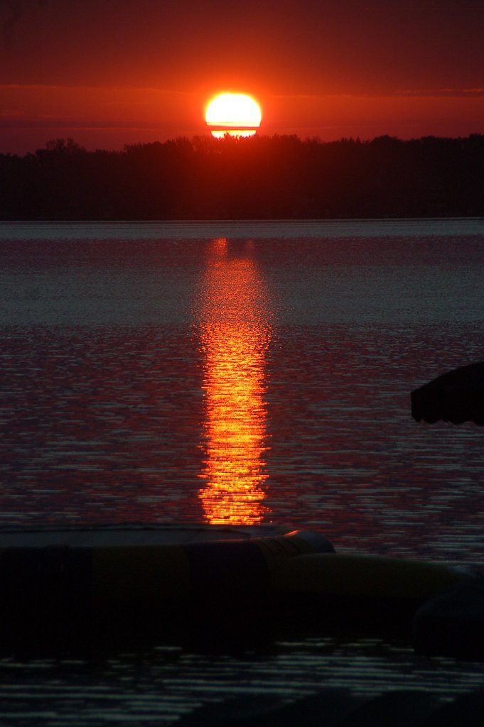
Thursday Morning on Lake Tippy
Thursday Morning on Lake Tippy
 +1
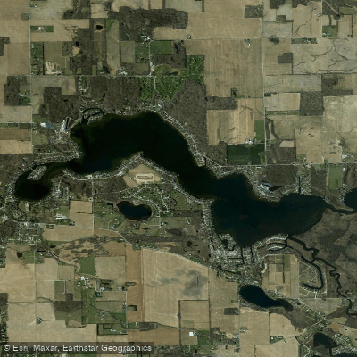
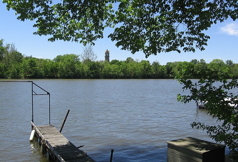
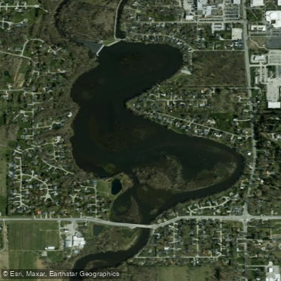
Tippecanoe Lake, located in Indiana, is the deepest lake in the state and serves as the source of the Tippecanoe River. The lake is part of a system of 88 natural lakes that feed into the river, contributing to its clear waters and consistent flow.
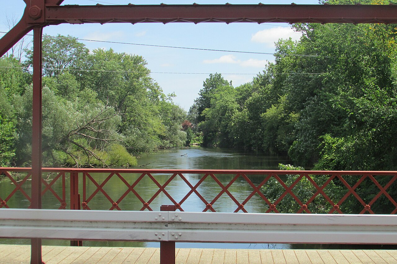
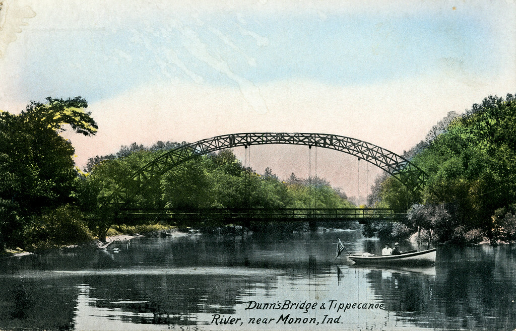
The Tippecanoe River, which flows from the lake, offers various paddling opportunities. The river is known for its clarity, with water typically only becoming muddy after storms. It features a gentle current and is bordered by green fields and forests, creating a scenic paddling environment. The river's banks are lined with maple, willow, and sycamore trees, providing shade and habitat for diverse wildlife.
Wildlife enthusiasts will appreciate the abundance of birds along the river, including warblers, red-headed woodpeckers, bobwhites, and wild ducks. The area is also home to the largest Great Blue Heron rookery in the United States, located just west of Warsaw. Kingfishers are frequently spotted fishing along the river.
For those interested in fishing, the river offers opportunities to catch pike, bass, and panfish. The clear waters allow for good visibility of various fish species, including sunfish, rock bass, smallmouth bass, northern pike, and suckers.
The lake's outflow into the Tippecanoe River provides numerous access points for paddling adventures. Public access sites are available along the river, though their exact locations and conditions may vary over time.
Paddlers should be aware that water levels can affect the paddling experience. During low water periods, fallen trees and log jams may require portaging, particularly in the upper sections of the river. The river's character changes as it progresses, with the upper sections being narrower and more secluded, while lower sections widen and become shallower with a faster current.
The Tippecanoe River is suitable for both canoes and kayaks. Various outfitters in the area offer rental services and guided trips, with options for different skill levels and trip durations. Some sections of the river are rated as intermediate, suggesting that basic paddling skills are recommended.
It's advisable to check current reports or contact local outfitters for the most up-to-date information on water levels, access points, and potential hazards before embarking on a paddling trip.
The area around Tippecanoe Lake and its river has historical significance, including connections to Native American history. The river passes by the site of a former Potawatomi Village, where in 1832, Native Americans signed away their rights to Indiana soil for the last time.
Overall, the lake's connection to the Tippecanoe River offers paddlers a rich and diverse experience, combining natural beauty, wildlife viewing opportunities, and historical interest in a uniquely Midwestern setting.
Hazards
No hazards are marked on Tippecanoe Lake yet. That is not the same as none being there: if you find one, report it for the next paddler.
From the community
Real trips from PaddleWays paddlers: which route they ran, how the water was, and what to watch for.
Loading trip reports
Ashley B.
Kayak •
Thursday Morning on Lake Tippy
Thursday Morning on Lake Tippy
+1See exactly where the public can get on and off the water. Launch points and boat ramps are paired with PaddleWays' public land data so you know where you can legally land.
Public shoreline
0%of the lake's shoreline is public
Most of the shoreline is private. Launch, land and camp only at public access points.
Weather and wind, so you know what to expect on Tippecanoe Lake today.
No forecast data available.
Live flows, marked hazards and fresh trip reports from paddlers who were just on the water, all in one place.





Every user gets free access to launch points, boat ramps, and public property parcels.

PaddleWays gives you everything you need to plan smarter, paddle better, and own every trip from first launch to takeout.