Curated by PaddleWays
RouteFlatwater
- Distance
- 10.1 mi
- Paddle time
- ~3.5 hrs
- Put-in → take-out
- Beaver Brook Boat Ramp → Dracut Access
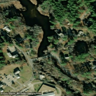
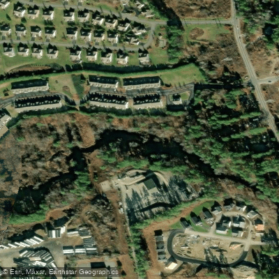
Beaver Brook originates from the confluence of Golden Brook and other tributaries in Pelham, New Hampshire, flowing approximately 30.7 miles southward through Hillsborough and Rockingham counties before crossing into Middlesex County, Massachusetts. The brook passes through Derry, Londonderry, Windham, and Pelham in New Hampshire before entering Dracut and ultimately joining the Merrimack River in Lowell, Massachusetts. The waterway traverses a landscape transitioning from rural New Hampshire communities to increasingly suburban Massachusetts terrain.
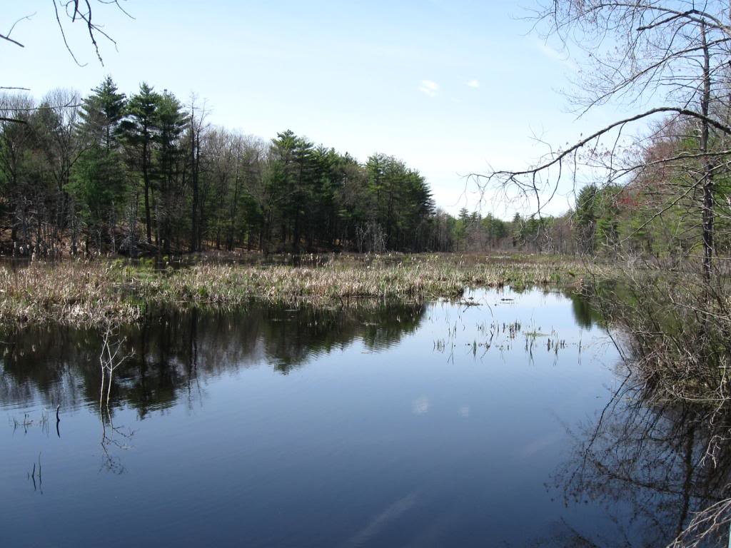
Along its New Hampshire course, Beaver Brook flows through Harantis Lake, Adams Pond, and Beaver Lake in Derry, creating a series of impoundments that moderate flow patterns. The brook forms a natural boundary between Londonderry and Windham before continuing through Pelham's gently rolling hills.
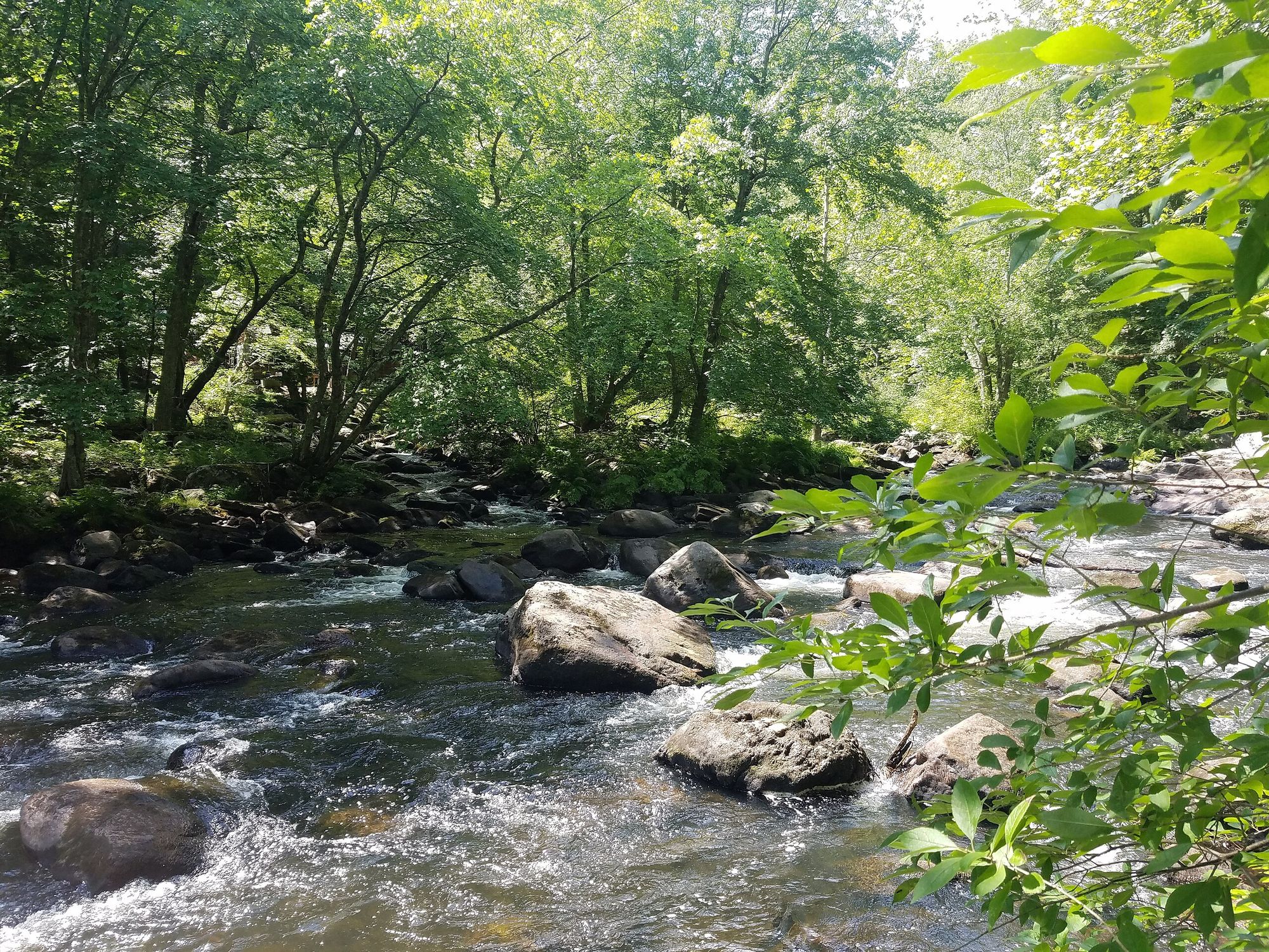
Paddling opportunities on Beaver Brook are limited due to its small to medium watershed size and variable water levels. The brook typically maintains sufficient flow for paddling during spring runoff (April through June) and following significant rainfall events. Most sections feature narrow channels with overhanging vegetation, making passage challenging except during higher water conditions. The Massachusetts portion near Dracut offers more consistent water levels as the brook approaches its confluence with the Merrimack.
The riparian corridor supports typical southern New Hampshire and northern Massachusetts flora, including red maple, white pine, and hemlock. The wetland areas around the Derry impoundments provide habitat for waterfowl, while the wooded sections support white-tailed deer, beaver (for which the brook is aptly named), and various songbird species. Brook trout inhabit cooler upstream sections, though warm-water species dominate the lower reaches.
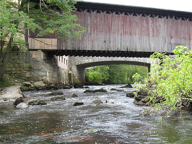
Access to Beaver Brook remains limited, with most entry points occurring at road crossings or near the impoundments in Derry. The Collinsville Dam area in Dracut provides one of the more accessible viewing points. Nearby towns include Nashua (approximately 10 miles east of the upper brook), Lowell at the confluence, and the smaller communities directly along its course.
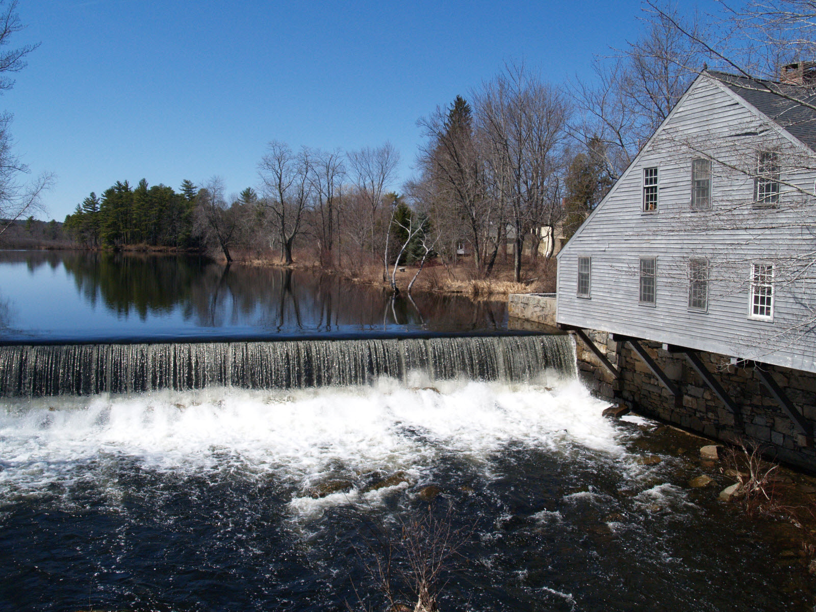
The brook flows through an area of significant historical development, with former mill sites evident along its length. The Collinsville area in Dracut represents one of the more notable industrial heritage sites, though many former water-powered operations have long since ceased.
Paddlers should exercise caution regarding private property along much of the brook's length, as public access points are not well-established. Water levels can drop significantly during summer months, making passage difficult or impossible. The narrow channel and frequent obstacles require maneuvering skills and increase the risk of strainers from fallen trees.
Curated routes
Hand-picked by the PaddleWays team, with put-ins, take-outs, paddle times and the hazards along the way.
RouteFlatwater
Hazards
No paddler has reported a hazard here yet, so these are the dams, falls and big rapids on our map. Hazards change with flows and storms, so check them before you launch.
From the community
Nobody has shared a trip on Beaver Brook yet. Paddle it, then tell the next paddler how it went.
See exactly where the public can get on and off the river. Launch points and boat ramps are paired with PaddleWays' public land data so you know where you can legally land.
Public shoreline
3%of the river's shoreline is public
Most of the riverbank is private. Launch, land and camp only at public access points.
Flows, weather and a route-by-route verdict, so you know which stretch of the Beaver Brook is worth paddling today.
Live flows, marked hazards and fresh trip reports from paddlers who were just on the water, all in one place.





Every user gets free access to launch points, boat ramps, and public property parcels.

Loading popular cities...
PaddleWays gives you everything you need to plan smarter, paddle better, and own every trip from first launch to takeout.