Plum Island Sound
- Saltwater
- Sound
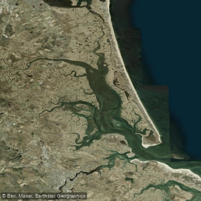
Plum Island Sound
- Saltwater
- Sound
- Sq. miles
- 4.8
- Boat Ramps
- 3
- Access Points
- 0
- Campsites
- 1
Plum Island Sound is a coastal estuary separating Plum Island from the mainland of Massachusetts. It is a saltwater sound characterized by extensive salt marshes, numerous winding creeks, and sandy beaches along the Plum Island shore. The area is largely encompassed by the Parker River National Wildlife Refuge, offering a paddling experience focused on wildlife observation within a protected coastal environment. The sound is a popular destination for motorized boats, so paddlers should expect some boat traffic and associated wakes, particularly within the marked channels. The many inlets and side channels can be visually confusing, especially at lower tides, making a map or GPS advisable for navigation. Tides significantly influence conditions, with lower tides exposing extensive shallows and sandbars, which can strand paddlers or limit routes. Currents are present, mild within the sound itself, but the nearby mouths of the Merrimack, Parker, and Rowley Rivers can have challenging and potentially dangerous currents, warranting caution and local knowledge. A primary access point for paddlers is at the Parker River National Wildlife Refuge, specifically from a launch site opposite Parking Lot 1 near the refuge entrance at 6 Plum Island Turnpike in Newburyport. There is a vehicle entry fee for the refuge, though holders of a National Parks Pass enter for free. Parking can be challenging during midsummer. Another noted launch is the state boat launch where Route 1 crosses the Parker River, though the Newbury Town Launch on High Street is restricted to permitted residents only. Paddlers are advised that landing on the Plum Island Sound-facing beaches within the wildlife refuge may be prohibited to protect wildlife, though postings can be unclear. The area is known for abundant birdlife, seals, deer, and insects like greenhead flies during their season, requiring bug protection. Guided tours are available from local outfitters like Plum Island Kayak, which operate on protected waters within the sound and adjacent rivers, with tour timing specifically coordinated with the tides.
Water access, boat ramps & amenities
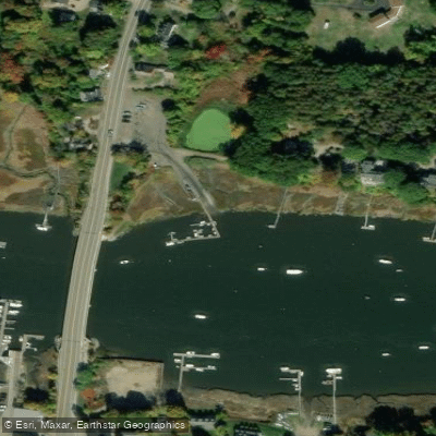
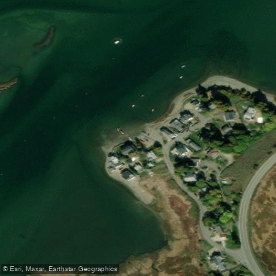
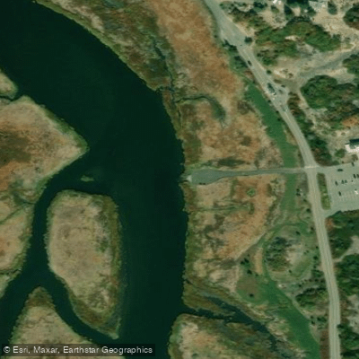
Learn how to get on Plum Island Sound. Uncover great paddling access points, boat ramps, and all the facilities you need for an unforgettable day on the water. Some locations shown may border or include private property. Always check property boundaries and applicable regulations before visiting. PaddleWays's Public & Private Land layer can help you plan your access with confidence.
Paddle smarter with real-time insights
Whether you're en route and conditions shift or you're looking for the best spot based on current flows, we enable you to make informed decisions on the fly.








Find Places to Paddle

Over 400,000 Places to Paddle
Every user gets free access to launch points, boat ramps, and public property parcels.


Tides, wind & water conditions (10 day forecast)
On open water, wind and tide matter as much as the weather. See the best times to paddle Plum Island Sound and check the marine forecast before you launch.
Loading tide predictions…
Paddling near Plum Island Sound

Merrimack River
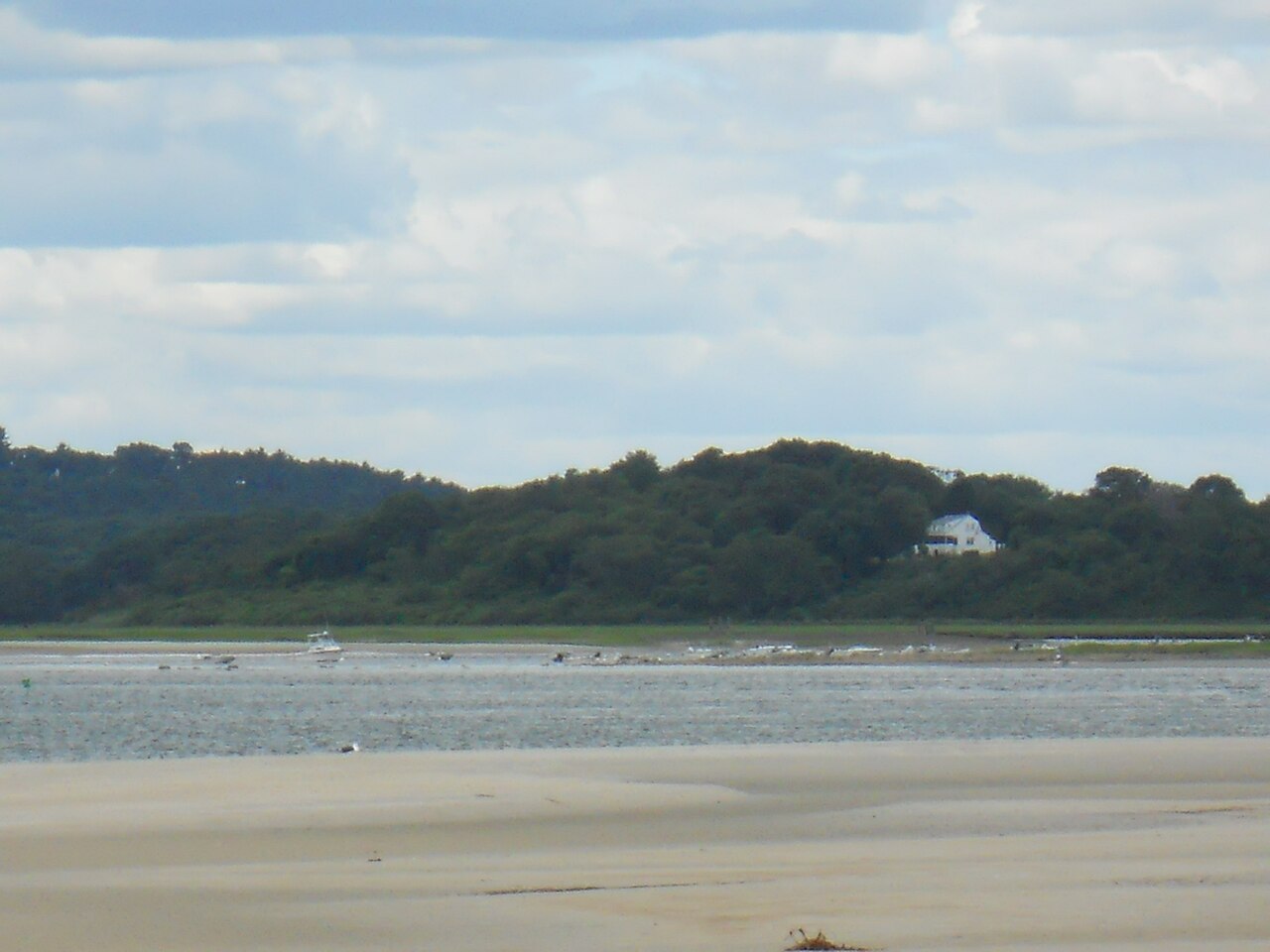
Ipswich River

Massachusetts Bay

Concord River

Charles River
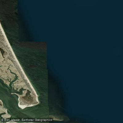
Bigelow Bight

Exeter River
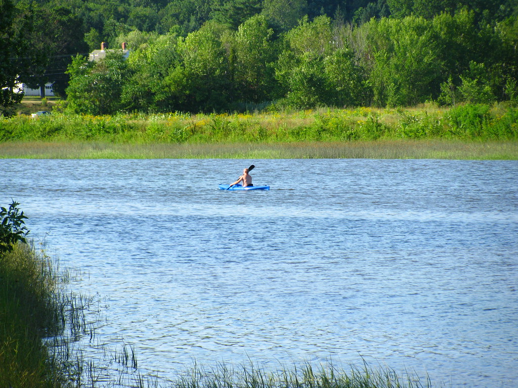
Squamscott River
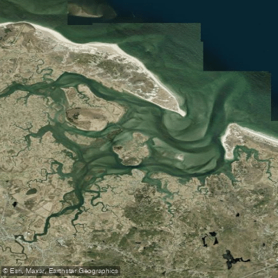
Essex River

Sudbury River
Explore Massachusetts waters
Top paddling waters
Popular Cities
Loading popular cities...
Explore near Plum Island Sound
Access points
- Newbury Landing Boat Ramp
- Eagle Hill Landing Boat Ramp
- Parker River National Wildlife Refuge Boat Ramp
- Newbury Train Bridge
- Water Parker River Bridge
- Parker River Bridge
- Water Plum Island River Bridge
- Water Little River Bridge
- Water Parker River Bridge
- Water Ipswich River Bridge
- Water Labor-in-vain Crk Bridge
- Thurta Bridge
- All 26 spots
Nearby waters
More in Massachusetts

Smarter Paddling Starts in the App.
Paddleways gives you everything you need to plan smarter, paddle better, and own every trip from first launch to takeout.