Nahant Bay
- Saltwater
- Bay
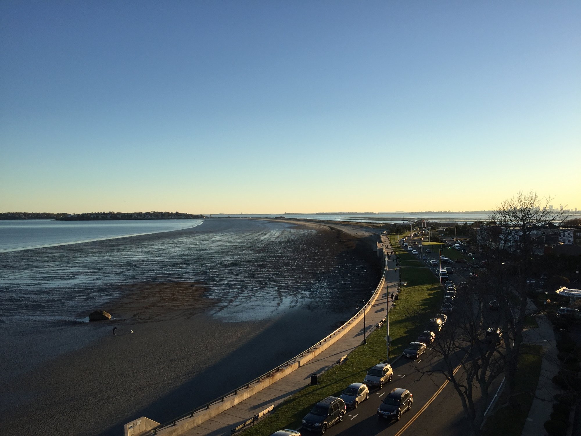
Nahant Bay
- Saltwater
- Bay
- Sq. miles
- 4.7
- Boat Ramps
- 0
- Access Points
- 0
- Campsites
- 0
Nahant Bay is a coastal bay located just north of Boston, Massachusetts, offering a dynamic and exposed ocean paddling environment. The primary access point for paddlers is Fisherman's Beach in Swampscott, which provides easy beach launching directly into the bay. Another launch option is the Lynn Shore and Nahant Beach Boat Ramp, which serves as a gateway to Nahant Bay and the adjacent Lynn Harbor. The overall character of paddling here is challenging and suited for experienced sea kayakers and surfski paddlers, as there are extensive stretches of open water with no sheltered areas to hide if the weather deteriorates. A notable annual event is the Nahant Bay Race, a 9 to 9.5-mile surfski competition that highlights the demanding conditions. The course involves long open-water crossings, such as a 4-mile crossing of the bay itself, and paddlers must contend with headwinds, refractory waves, and rolling Atlantic swells. Key geographical features include rounding East Point on the eastern tip of Nahant and navigating past landmarks like Egg Rock and Off Rock. The water can be rough, particularly at East Point, and winds from the west or northwest can create difficult conditions, especially on the final leg along the Swampscott coast. The area is also used for boating, indicating the potential for boat traffic. The best time for paddling is generally from spring through fall, with summer offering the most consistent conditions, though popular launches may be crowded on weekends.
Water access, boat ramps & amenities
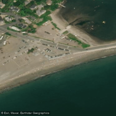
Learn how to get on Nahant Bay. Uncover great paddling access points, boat ramps, and all the facilities you need for an unforgettable day on the water. Some locations shown may border or include private property. Always check property boundaries and applicable regulations before visiting. PaddleWays's Public & Private Land layer can help you plan your access with confidence.
Paddle smarter with real-time insights
Whether you're en route and conditions shift or you're looking for the best spot based on current flows, we enable you to make informed decisions on the fly.








Find Places to Paddle

Over 400,000 Places to Paddle
Every user gets free access to launch points, boat ramps, and public property parcels.


Tides, wind & water conditions (10 day forecast)
On open water, wind and tide matter as much as the weather. See the best times to paddle Nahant Bay and check the marine forecast before you launch.
Loading tide predictions…
Paddling near Nahant Bay

Merrimack River

Concord River

Massachusetts Bay
Ipswich River

Charles River

Broad Sound

Sudbury River

Assabet River

Wachusett Reservoir
Explore Massachusetts waters
Top paddling waters
Popular Cities
Loading popular cities...
Explore near Nahant Bay
Access points
Nearby waters
More in Massachusetts

Smarter Paddling Starts in the App.
Paddleways gives you everything you need to plan smarter, paddle better, and own every trip from first launch to takeout.