Curated by PaddleWays
RouteClass III–IV
- Distance
- 4.5 mi
- Paddle time
- ~1 hr
- Best for
- Experienced paddlers
- Put-in → take-out
- East Hampton Access → Connecticut River Oxbow Boat Ramp
Strong currents and numerous obstacles
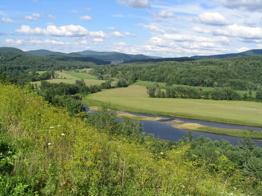
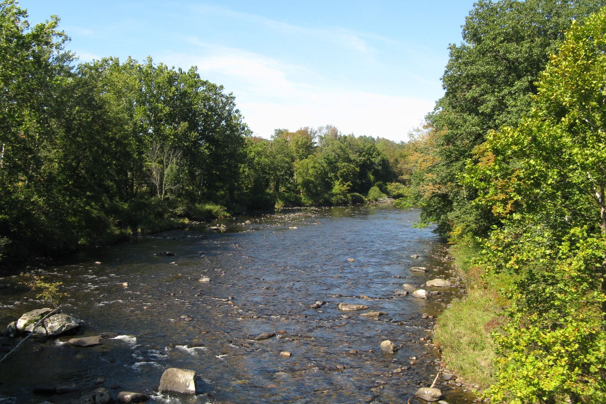
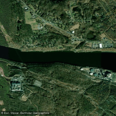
The Manhan River is a 27.6-mile long tributary of the Connecticut River located in western Massachusetts. It originates in the hills west of Easthampton and flows generally eastward, joining the Connecticut River near the Oxbow, a former bend in the Connecticut that is now cut off as an oxbow lake. Paddling on the Manhan River is limited and highly dependent on water levels. The river is typically too shallow and obstructed for kayaking or canoeing through most of its course.
However, two distinct paddling experiences are available in the Easthampton area:
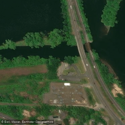
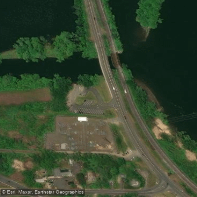
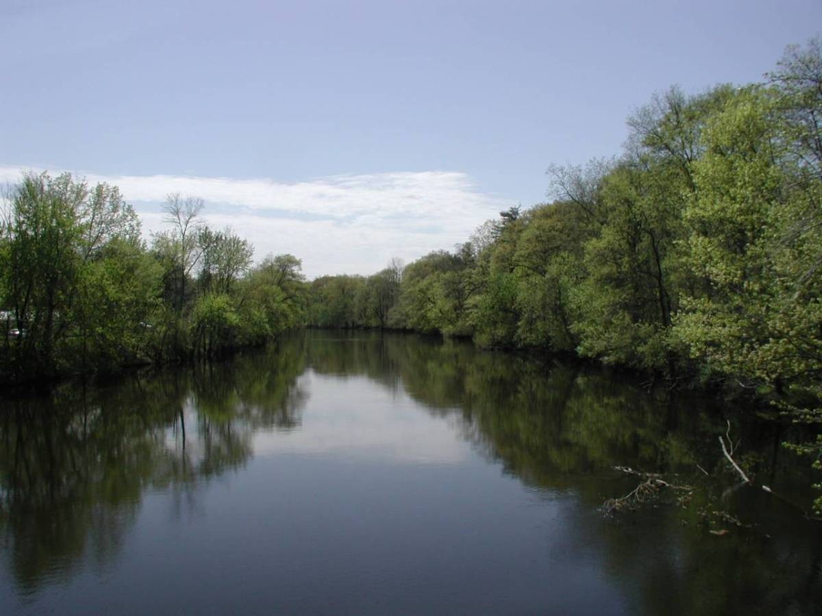
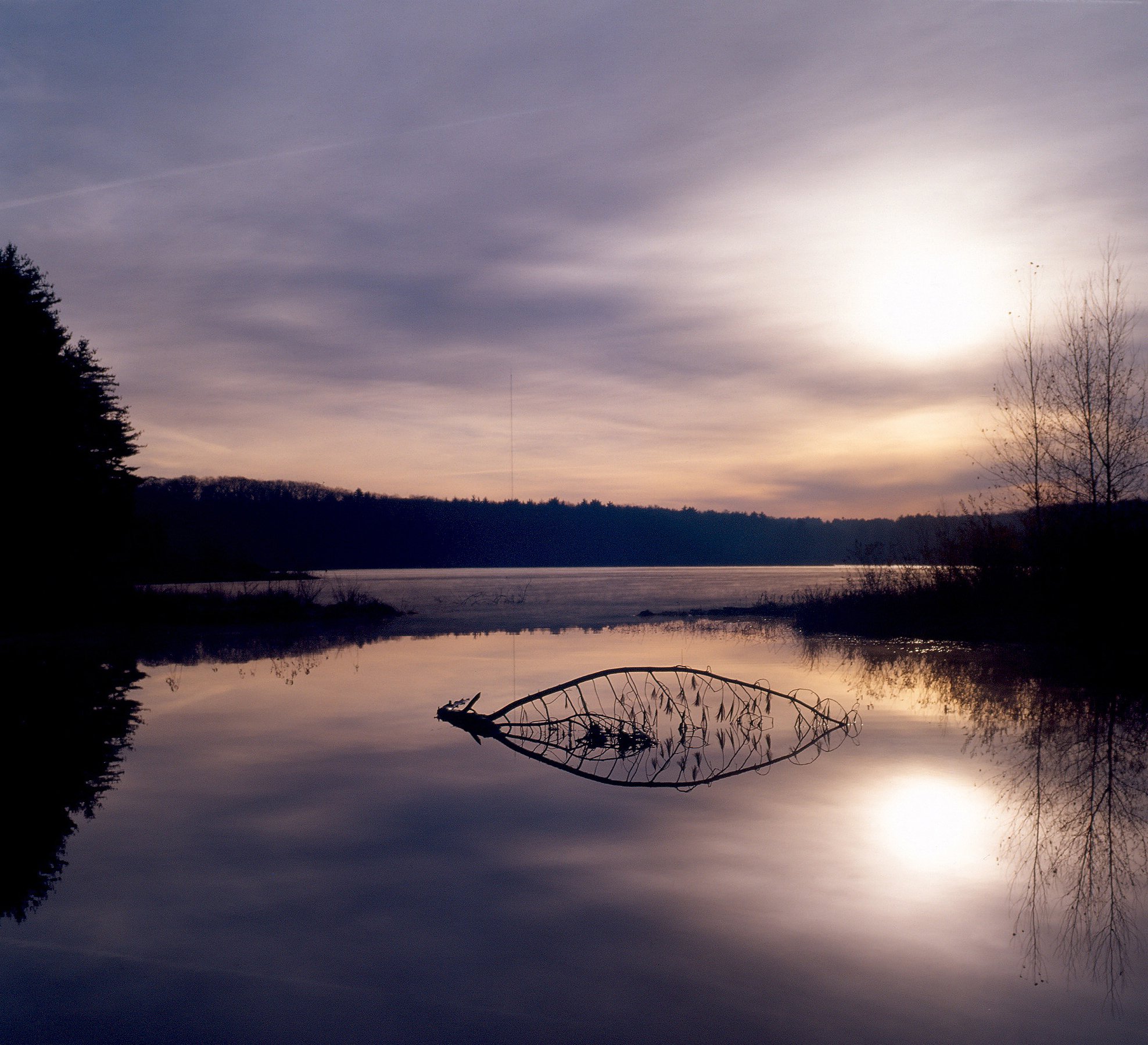
1. The Oxbow Lake and Lower Manhan: This flatwater section offers a scenic paddle from the public ramp on Route 5 in Easthampton. Paddlers can explore the wide waters of Oxbow Lake, venture to the mouth of the Manhan River, and even access a short stretch of the Connecticut River. This 4-5 mile round trip is suitable for beginners and offers views of Mount Tom.
2. The Manhan River Flood Run: During high water conditions, typically after significant rainfall, experienced paddlers can attempt a challenging 4.7-mile run from a bridge over the Manhan to its confluence with Oxbow Lake. This section features class III-IV rapids and numerous obstacles, making it suitable only for advanced paddlers.
The best times for paddling are spring and fall when water levels are higher. Summer often sees low water conditions that make navigation difficult.
Wildlife observers may spot great blue herons, bald eagles, and various waterfowl along the river and Oxbow Lake.
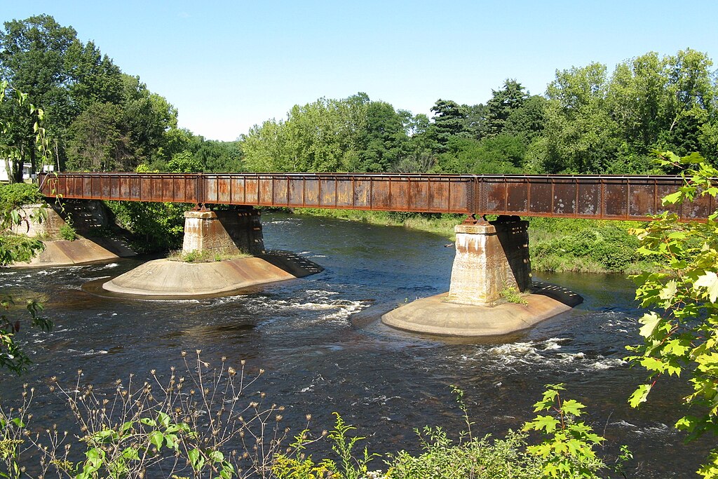
Key access points include the Route 5 public ramp in Easthampton for Oxbow Lake access, and bridge crossings over the Manhan for the flood run (when conditions allow). The nearby Manhan Rail Trail offers scenic views of the river for hikers and cyclists.
Safety considerations are paramount, especially for the flood run. Paddlers should be aware of strainers, swift currents, and changing water levels. Always check conditions and wear appropriate safety gear.
The Manhan River played a role in the industrial development of Easthampton, powering mills in the 19th century. Today, it serves as an important ecological corridor and recreational resource for the community.
While multi-day trips are not feasible on the Manhan itself, paddlers can combine an Oxbow Lake excursion with explorations of the nearby Connecticut River for longer adventures.
Curated routes
Hand-picked by the PaddleWays team, with put-ins, take-outs, paddle times and the hazards along the way.
RouteClass III–IV
Hazards
No paddler has reported a hazard here yet, so these are the dams, falls and big rapids on our map. Hazards change with flows and storms, so check them before you launch.
From the community
Nobody has shared a trip on Manhan River yet. Paddle it, then tell the next paddler how it went.
See exactly where the public can get on and off the river. Launch points and boat ramps are paired with PaddleWays' public land data so you know where you can legally land.
Public shoreline
9%of the river's shoreline is public
Most of the riverbank is private. Launch, land and camp only at public access points.
Flows, weather and a route-by-route verdict, so you know which stretch of the Manhan River is worth paddling today.
No forecast data available.
Live flows, marked hazards and fresh trip reports from paddlers who were just on the water, all in one place.





Every user gets free access to launch points, boat ramps, and public property parcels.
Loading popular cities...
PaddleWays gives you everything you need to plan smarter, paddle better, and own every trip from first launch to takeout.