Cape Cod Bay
- Saltwater
- Bay
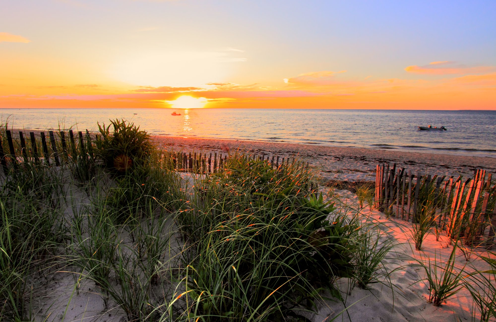
Cape Cod Bay
- Saltwater
- Bay
- Sq. miles
- 475
- Boat Ramps
- 12
- Access Points
- 0
- Campsites
- 12
Cape Cod Bay is a large coastal bay on the Massachusetts coast, offering paddlers a diverse marine environment ranging from expansive tidal flats to intricate salt marsh channels and rocky shorelines. The bay experiences significant tidal fluctuations, with water levels rising up to 15 feet between low and high tide. This dramatic change transforms the landscape, exposing miles of fine sand flats at low tide that become deep channels navigable by kayak at high tide. Paddlers must plan their trips carefully around these tides, as currents can be swift in channels and around structures like bridge openings, and vast areas become impassable mudflats at low water. Key access points for launching include Rock Harbor in Orleans, which has a public boat ramp and an adjacent beach launch separated from boat traffic by a jetty, the Wellfleet Town Landing near the Herring River, and Paines Creek Beach. The bay's western shoreline, particularly off Barnstable, Dennis, and Brewster, is characterized by extensive sandbars and deep holes, while areas near Wellfleet feature boulder fields. The eastern shore includes the ecologically rich Nauset Marsh and Namskaket Marsh, with their maze of tidal channels. Paddlers will share the water with working fishing boats, especially in harbors like Rock Harbor during high tide periods, requiring vigilance. Wildlife sightings are common and can include seals, various shorebirds like piping plovers and oystercatchers, diamondback terrapins, and striped bass. The area around Great Island and Jeremy Point in Wellfleet offers a long, undeveloped coastline for exploration. Sunsets over the bay from locations like Rock Harbor are noted for their panoramic views. Paddlers should be prepared for exposure to wind and sun, and wear appropriate clothing and footwear that can get wet.
Water access, boat ramps & amenities
Learn how to get on Cape Cod Bay. Uncover great paddling access points, boat ramps, and all the facilities you need for an unforgettable day on the water. Some locations shown may border or include private property. Always check property boundaries and applicable regulations before visiting. PaddleWays's Public & Private Land layer can help you plan your access with confidence.
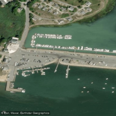
Wellfleet Town Pier Boat Ramp
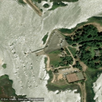
Town of Truro Pier Boat Ramp
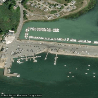
Wellfleet Harbor Boat Ramp
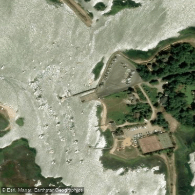
Pamet River Boat Ramp
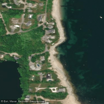
Manomet Point Road Landing Boat Ramp
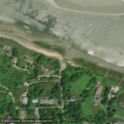
Scudders Lane Boat Ramp
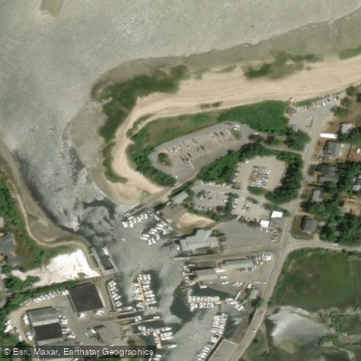
Blish Point Boat Ramp
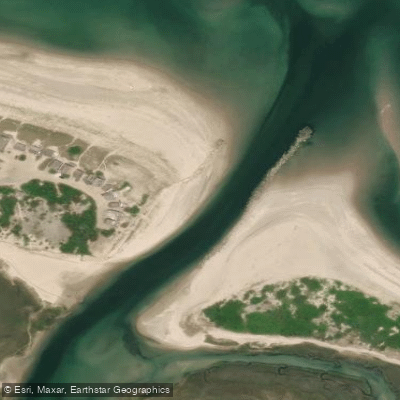
Scorton Creek Boat Ramp
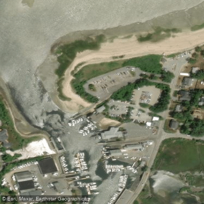
Barnstable Harbor (Blish Point) Boat Ramp
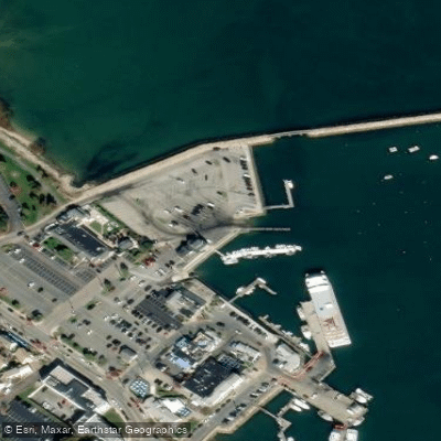
Plymouth Harbor Boat Ramp
Paddle smarter with real-time insights
Whether you're en route and conditions shift or you're looking for the best spot based on current flows, we enable you to make informed decisions on the fly.








Find Places to Paddle

Over 400,000 Places to Paddle
Every user gets free access to launch points, boat ramps, and public property parcels.


Tides, wind & water conditions (10 day forecast)
On open water, wind and tide matter as much as the weather. See the best times to paddle Cape Cod Bay and check the marine forecast before you launch.
Loading tide predictions…
Paddling near Cape Cod Bay

Taunton River
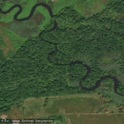
Green Harbor River

Massachusetts Bay
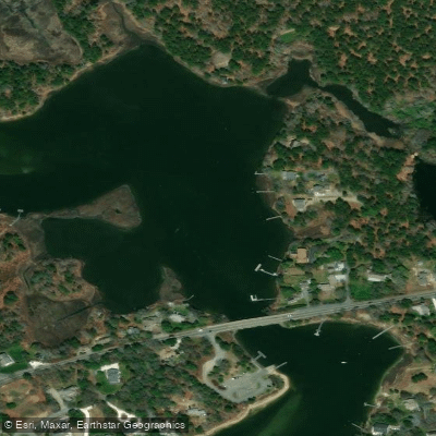
Bass River
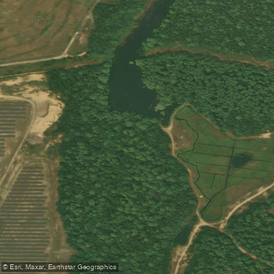
Wankinco River
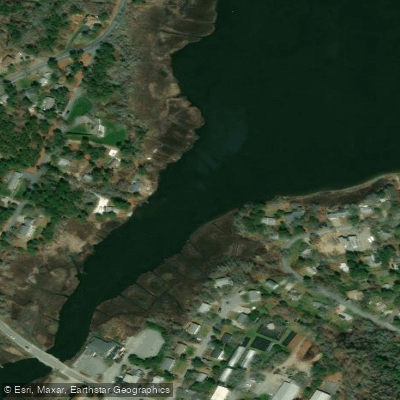
Swan Pond River
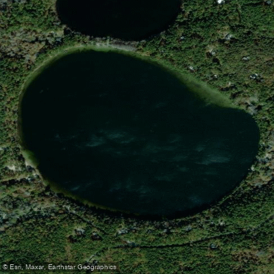
Gull Pond
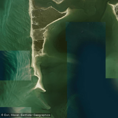
Wellfleet Harbor
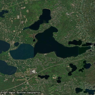
Long Pond
Explore Massachusetts waters
Top paddling waters
Popular Cities
Loading popular cities...
Explore near Cape Cod Bay
Access points
- Wellfleet Town Pier Boat Ramp
- Town of Truro Pier Boat Ramp
- Wellfleet Harbor Boat Ramp
- Pamet River Boat Ramp
- Manomet Point Road Landing Boat Ramp
- Scudders Lane Boat Ramp
- Blish Point Boat Ramp
- Scorton Creek Boat Ramp
- Barnstable Harbor (Blish Point) Boat Ramp
- Plymouth Harbor Boat Ramp
- Plymouth Harbor Boat Ramp
- Nelson Memorial Park Boat Ramp
- All 43 spots
Nearby waters
More in Massachusetts

Smarter Paddling Starts in the App.
Paddleways gives you everything you need to plan smarter, paddle better, and own every trip from first launch to takeout.