Wellfleet Harbor
- Saltwater
- Harbor
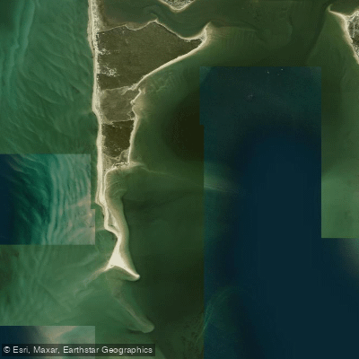
Wellfleet Harbor
- Saltwater
- Harbor
- Sq. miles
- 2.8
- Boat Ramps
- 0
- Access Points
- 0
- Campsites
- 4
Wellfleet Harbor is a coastal saltwater harbor on Cape Cod Bay, offering paddlers a mix of sheltered creeks, open water, and significant tidal influence. The primary public launch point is at or near the Wellfleet Town Pier and Marina, with a moderate carry to the water. Mayo Beach is another nearby launch area. Parking at the Town Pier lot requires a fee during the summer season. A secondary, more remote launch area exists near a small bridge on Chequessett Road, closer to Great Island, offering free parking, though regulations there can change annually. The harbor experiences moderate to heavy motorboat and sailboat traffic during the summer season, requiring constant awareness, especially around the pier and main channels. The water is generally protected from large ocean swells, but wind exposure and fetch can build chop in the open harbor. Paddling is not advised on the ocean-facing beaches of the National Seashore due to high surf.
Tidal planning is crucial. For exploring the tidal creeks like Duck Creek and Blackfish Creek, it is best to begin paddling one to two hours before high tide. At high tide, Blackfish Creek can be navigated inland for approximately 1.25 miles. At low tide, extensive sandbars are exposed, particularly in the marsh areas, which can ground paddlers. A specific route from the Herring River to Great Beach Hill is a premier paddling destination within the Cape Cod National Seashore. Key sights include the historic Uncle Tim's Bridge (rebuilt in 2008) over Duck Creek, the remnants of the Old Colony Railroad, and the First Congregational Church tower. The area is rich in wildlife, including various bird species such as shorebirds, gulls, terns, and Great Blue Herons. The surrounding landscape features salt marshes, a barrier beach at Great Island, and views of the Wellfleet Bay Wildlife Sanctuary. Boat rentals, including kayaks, are available seasonally from mid-June to mid-September at the Wellfleet Town Pier, with operations subject to tidal conditions. Renters should note that as of April 2026, a state-approved boater safety certificate is required for those born after January 1, 1989.
Water access, boat ramps & amenities
Learn how to get on Wellfleet Harbor. Uncover great paddling access points, boat ramps, and all the facilities you need for an unforgettable day on the water. Some locations shown may border or include private property. Always check property boundaries and applicable regulations before visiting. PaddleWays's Public & Private Land layer can help you plan your access with confidence.
Paddle smarter with real-time insights
Whether you're en route and conditions shift or you're looking for the best spot based on current flows, we enable you to make informed decisions on the fly.








Find Places to Paddle

Over 400,000 Places to Paddle
Every user gets free access to launch points, boat ramps, and public property parcels.


Tides, wind & water conditions (10 day forecast)
On open water, wind and tide matter as much as the weather. See the best times to paddle Wellfleet Harbor and check the marine forecast before you launch.
Loading tide predictions…
Paddling near Wellfleet Harbor
Bass River
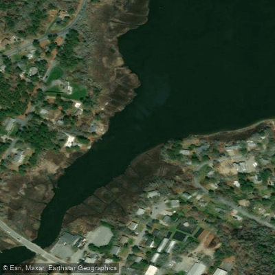
Swan Pond River
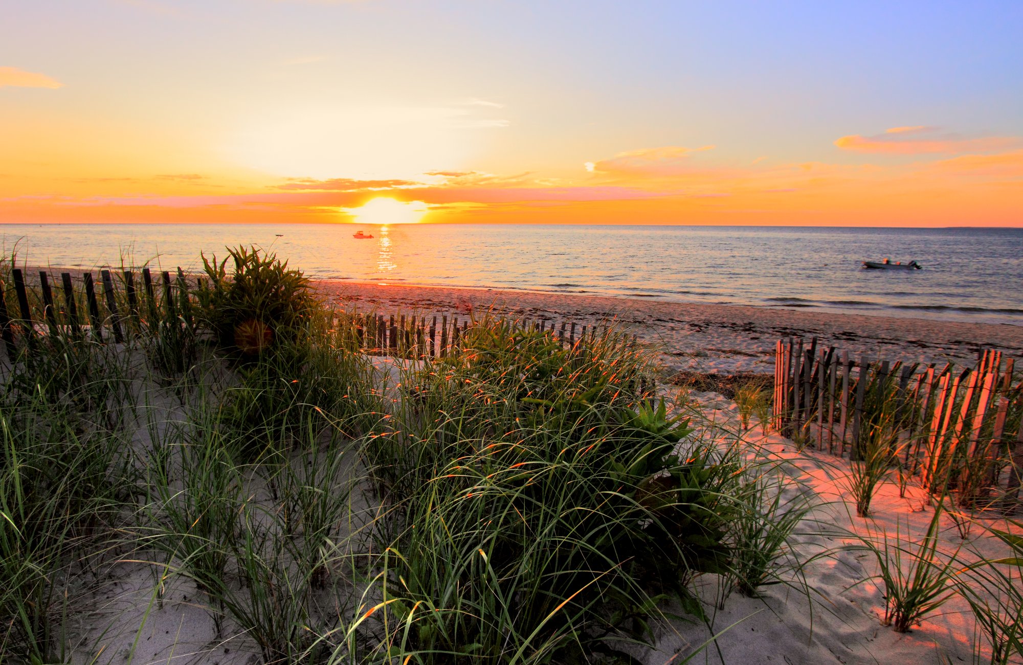
Cape Cod Bay
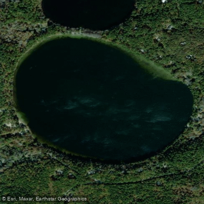
Gull Pond
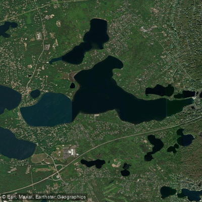
Long Pond

Massachusetts Bay
Great Pond
Upper Millpond
Cliff Pond
Explore Massachusetts waters
Top paddling waters
Popular Cities
Loading popular cities...
Explore near Wellfleet Harbor
Access points
Nearby waters
More in Massachusetts

Smarter Paddling Starts in the App.
Paddleways gives you everything you need to plan smarter, paddle better, and own every trip from first launch to takeout.