Cliff Pond
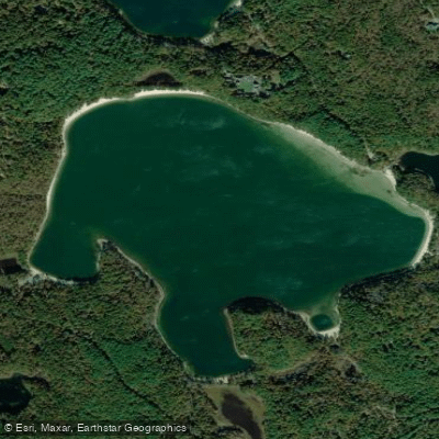
Cliff Pond
- Boat Ramps
- 3
- Access Points
- 3
- Campsites
- 2
Cliff Pond is a 206-acre kettle pond located within Nickerson State Park in Brewster, Massachusetts. The pond features 2.7 miles of undeveloped shoreline and reaches depths of up to 96 feet, with an average depth of 33 feet. The water is notably clear, with a transparency depth of 23 feet.
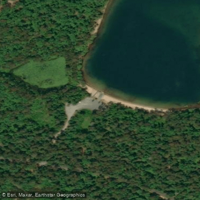
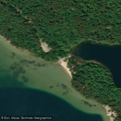
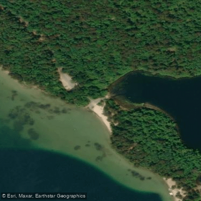
Two primary launch sites serve paddlers: a concrete boat ramp accessible via Deer Park Road to Nook Road (with parking for approximately 10 cars with trailers), and a cartop launch area with roadside parking near the beach off Flax Pond Road. A 10-horsepower limit applies to motorized vessels.
The pond is characterized by surrounding cliffs and minimal aquatic vegetation. The bottom is primarily sandy in shallow areas, transitioning to mud in deeper sections. The pond experiences heavy boater usage during summer months, with a designated swimming area marked by ropes. The entire shoreline is wadeable.
Paddlers can complete a circuit of the pond in approximately one hour. A 2.6-mile hiking trail follows the shoreline, offering opportunities to combine paddling with hiking or to scout the route. The surrounding terrain consists of sand, scrub pine, and oak trees within the state park setting.
Wildlife observations may include various fish species and birds. The pond is actively stocked with trout throughout the year, making it popular with anglers. During summer months, deeper waters (30-40 feet) provide refuge for fish.
Facilities within Nickerson State Park include comfort stations with hot showers and flush toilets. The park connects to the 25.5-mile Cape Cod Rail Trail, offering additional recreational opportunities. Day visitors must purchase a parking pass from kiosks near the main entrance.
Paddlers should be aware of potential cyanobacteria blooms, which can be dangerous if water is ingested. The pond tends to experience stronger winds compared to nearby smaller ponds, which can affect paddling conditions.
Water access, boat ramps & amenities
Learn how to get on Cliff Pond. Uncover great paddling access points, boat ramps, and all the facilities you need for an unforgettable day on the water. Some locations shown may border or include private property. Always check property boundaries and applicable regulations before visiting. PaddleWays's Public & Private Land layer can help you plan your access with confidence.
Paddle smarter with real-time insights
Whether you're en route and conditions shift or you're looking for the best spot based on current flows, we enable you to make informed decisions on the fly.








Find Places to Paddle

Over 400,000 Places to Paddle
Every user gets free access to launch points, boat ramps, and public property parcels.


Water and weather conditions (10 day forecast)
See the best times to paddle Cliff Pond and check the forecast before you go.
No forecast data available.
Paddling near Cliff Pond
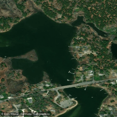
Bass River
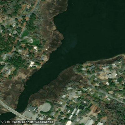
Swan Pond River
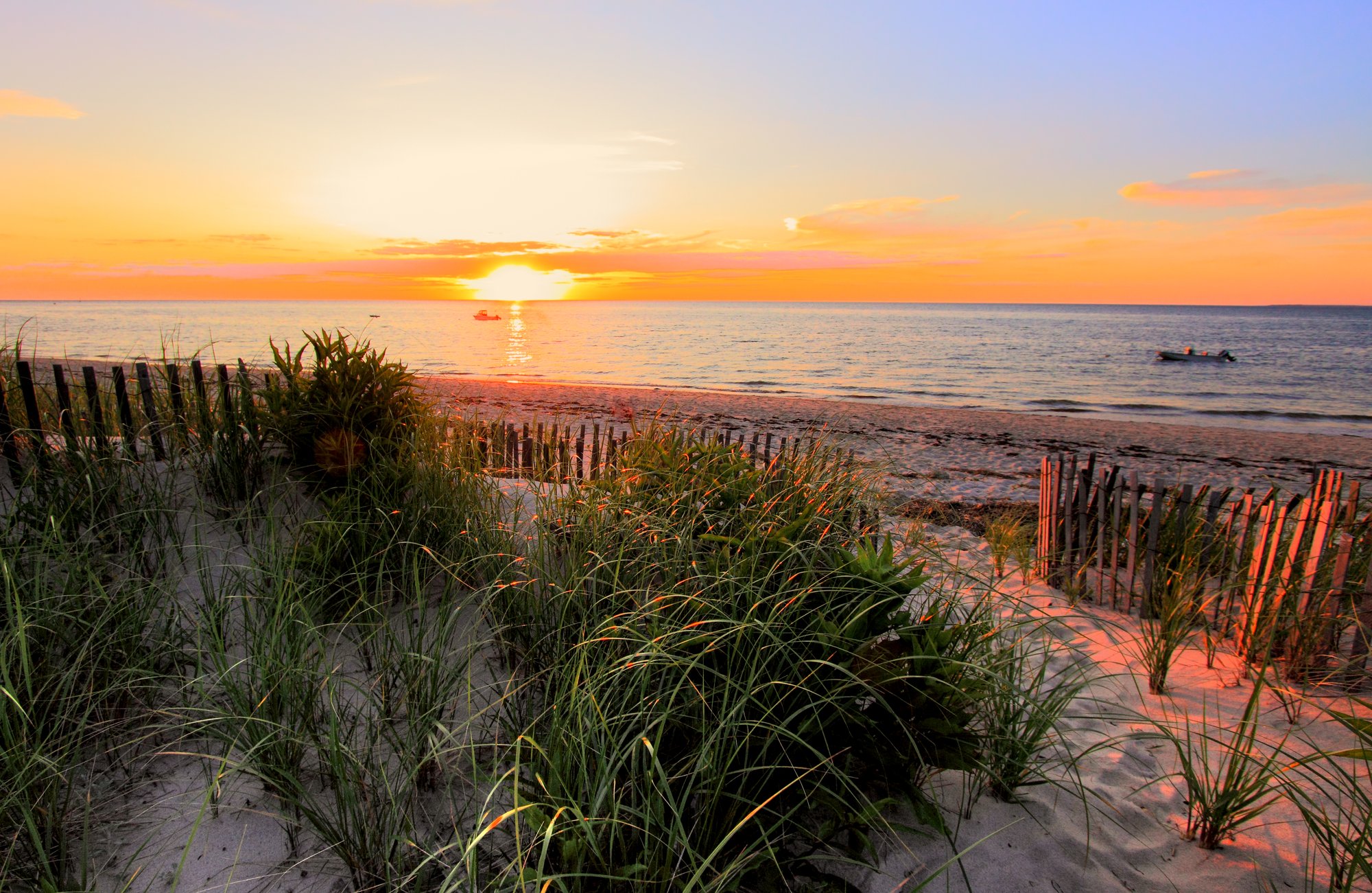
Cape Cod Bay
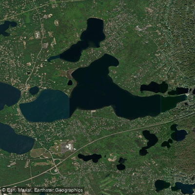
Long Pond
Great Pond
Nantucket Sound
Upper Millpond

Massachusetts Bay
Sheep Pond
Explore Massachusetts waters
Top paddling waters
Popular Cities
Loading popular cities...
Explore near Cliff Pond
Access points
Nearby waters
More in Massachusetts

Smarter Paddling Starts in the App.
Paddleways gives you everything you need to plan smarter, paddle better, and own every trip from first launch to takeout.