Bass River
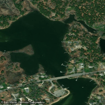
Bass River
- Boat Ramps
- 4
- Access Points
- 4
- Campsites
- 0
Bass River stretches approximately six miles through the towns of Dennis and Yarmouth on Cape Cod, making it the longest river on the Cape. The river originates at Mill Pond in Dennis and flows southward through a tidal estuary before emptying into Nantucket Sound. This brackish waterway experiences tidal influence throughout its length, with the greatest tidal effects felt from the sound north to Kelleys Bay. The river is classified as flatwater with a Class 0 rating, making it ideal for paddlers of all skill levels. The current moves at approximately 9 inches per second (roughly 0.5 miles per hour), providing a gentle, manageable flow. However, paddlers should plan their trips around tidal movements, as the water flows north for six hours during incoming tides and south for six hours during outgoing tides. The most strategic approach involves paddling against the tide first, then riding the current back.
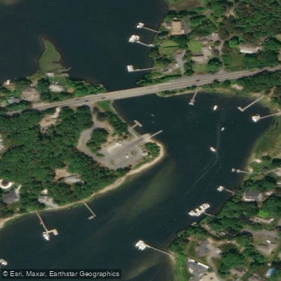
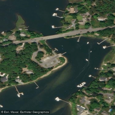
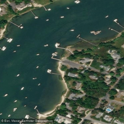
Multiple access points serve paddlers along the river's length. Bass River Park in West Dennis offers direct water access with ample parking. Uncle Freeman's Landing provides an excellent double-wide paved ramp with parking for vehicles and trailers. Additional launch sites include Ferry Street Landing, Horsefoot Cove Landing, and Cove Road locations in both West and South Dennis. The river's northern section includes Follins Pond, a freshwater body connected to the tidal system.
The Bass River system encompasses three distinct sections: the south from the Route 28 bridge to Nantucket Sound, the central portion including Horsefoot Cove and Grand Cove, and the north featuring Kelleys Bay and Follins Pond. Extensive salt marshes line much of the riverbanks, providing critical habitat for numerous fish species. The Division of Marine Fisheries has identified forty-three species of finfish in this estuary, including bluefish, white perch, striped bass, tautog, scup, and winter flounder. Weir Creek, a tributary feeding into the southern section, drains from Kelleys Pond and Uncle Steven's Pond, adding to the river's ecological complexity. The marshes behind West Dennis Beach and along the river's edge contribute significant nutrients to the ecosystem, supporting both recreational and commercial fisheries.
Paddlers should be aware of strong currents under bridges, particularly at the Route 28 and Route 6 crossings. Boat traffic can be heavy during summer months, especially in the southern sections near the harbor. Wind conditions significantly affect paddling difficulty, with low winds providing the easiest conditions. The river's protected nature makes it accessible year-round, though spring through fall offers optimal conditions for extended exploration.
Water access, boat ramps & amenities
Learn how to get on Bass River. Uncover great paddling access points, boat ramps, and all the facilities you need for an unforgettable day on the water. Some locations shown may border or include private property. Always check property boundaries and applicable regulations before visiting. PaddleWays's Public & Private Land layer can help you plan your access with confidence.
Paddle smarter with real-time insights
Whether you're en route and conditions shift or you're looking for the best spot based on current flows, we enable you to make informed decisions on the fly.








Find Places to Paddle

Over 400,000 Places to Paddle
Every user gets free access to launch points, boat ramps, and public property parcels.


Water and weather conditions (10 day forecast)
See the best times to paddle Bass River and check the forecast before you go.
No forecast data available.
Paddling near Bass River

Taunton River
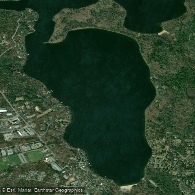
Mashpee Pond
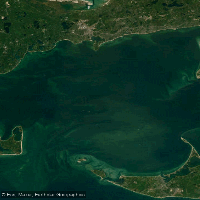
Nantucket Sound
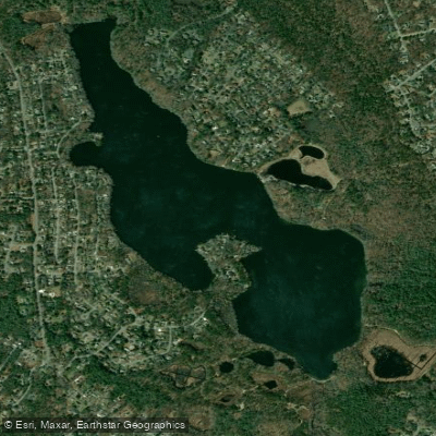
Santuit Pond
Hamblin Pond
Cape Cod Bay
Mystic Lake
Peters Pond
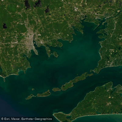
Buzzards Bay
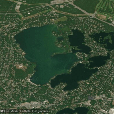
Wequaquet Lake
Explore Massachusetts waters
Top paddling waters
Popular Cities
Loading popular cities...
Explore near Bass River
Access points
- Wilbur Park Boat Ramp
- Bass River-Yarmouth Boat Ramp
- Bass River(Uncle Freeman's Landing) Boat Ramp
- Uncle Freemans Landing Boat Ramp
- Water Bass River Bridge
- Water Bass River Bridge
- Water Bass River Bridge
- Water Weir Creek Bridge
- Water Swan Pond River Bridge
- Water Swan Pond River Bridge
- Water Parkers River Bridge
- Water Swan Pond River Bridge
- All 19 spots
Nearby waters
More in Massachusetts

Smarter Paddling Starts in the App.
Paddleways gives you everything you need to plan smarter, paddle better, and own every trip from first launch to takeout.