Upper Millpond
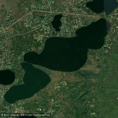
Upper Millpond
- Boat Ramps
- 1
- Access Points
- 1
- Campsites
- 1
Upper Mill Pond in Brewster, Massachusetts (Barnstable County) offers paddlers a peaceful kettle pond experience surrounded by approximately 875 acres of conservation land. This relatively secluded destination sits between Old King's Highway (Route 6A) and the Mid-Cape Highway (Route 6), providing a quiet alternative to Cape Cod's more crowded waterways.
**Access:** The main public access is at Fisherman's Landing Road, which provides convenient parking and launch facilities. An alternate put-in exists at Run Hill Road near the conservation area parking lot. A smaller parking area closer to the pond requires a Brewster town beach sticker. The main gravel lot offers direct access to surrounding trails through the Punkhorn Parklands, making this an excellent destination for combining paddling with hiking.
**Paddling Experience:** The pond itself is modest in size, with an estimated circumference paddle of approximately 1.5 miles. Paddlers can explore connections to adjacent waters - Walker Pond lies to the east, and Lower Mill Pond connects to the south, expanding exploration options to roughly 3.5 miles total. The pond features a 10-horsepower limit on outboard motors, ensuring a quieter experience without the disturbance of speedboats.
**Scenery and Wildlife:** The crystal-clear waters and forested shoreline create an intimate paddling environment. The surrounding Punkhorn Parklands and various conservation areas provide habitat for diverse wildlife, with opportunities to observe birds and other native species. Several small coves and inlets invite exploration along the shoreline.
**Nearby Attractions:** The Eagle Point Trails begin just west of the main parking area, offering short hikes to overlooks. The pond's setting within the Brewster State Forest and nearby conservation lands makes it an ideal destination for those seeking a more remote, nature-focused paddling experience on Cape Cod.
Water access, boat ramps & amenities
Learn how to get on Upper Millpond. Uncover great paddling access points, boat ramps, and all the facilities you need for an unforgettable day on the water. Some locations shown may border or include private property. Always check property boundaries and applicable regulations before visiting. PaddleWays's Public & Private Land layer can help you plan your access with confidence.
Paddle smarter with real-time insights
Whether you're en route and conditions shift or you're looking for the best spot based on current flows, we enable you to make informed decisions on the fly.








Find Places to Paddle

Over 400,000 Places to Paddle
Every user gets free access to launch points, boat ramps, and public property parcels.


Water and weather conditions (10 day forecast)
See the best times to paddle Upper Millpond and check the forecast before you go.
No forecast data available.
Paddling near Upper Millpond
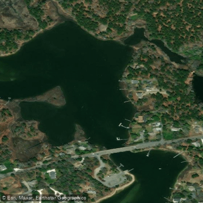
Bass River
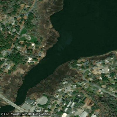
Swan Pond River
Cape Cod Bay
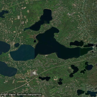
Long Pond
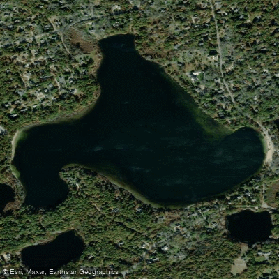
Great Pond
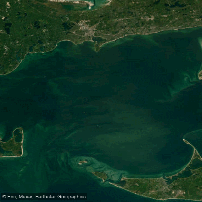
Nantucket Sound
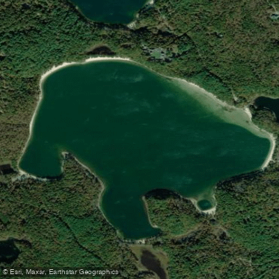
Cliff Pond

Massachusetts Bay
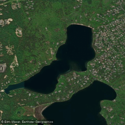
Sheep Pond
Explore Massachusetts waters
Top paddling waters
Popular Cities
Loading popular cities...
Explore near Upper Millpond
Access points
- Upper Mill and Walker Pond Boat Ramp
- Water Herring River Bridge
- Water Sesuit Creek Bridge
- Water Bass River Bridge
- Water Bass River Bridge
- Water Herring River Bridge
- Water Swan Pond River Bridge
- Water Herring River Bridge
- Water Swan Pond River Bridge
- Water Herring River Bridge
- Water Bass River Bridge
- Water Swan Pond River Bridge
- All 13 spots
Nearby waters
More in Massachusetts

Smarter Paddling Starts in the App.
Paddleways gives you everything you need to plan smarter, paddle better, and own every trip from first launch to takeout.