Curated by PaddleWays
RouteClass III–IV
- Distance
- 7.8 mi
- Paddle time
- ~2 hrs
- Best for
- Kayak, canoe
- Put-in → take-out
- Becket Boat Ramp → Chester Boat Ramp
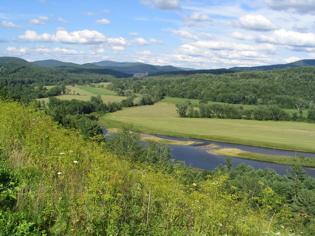
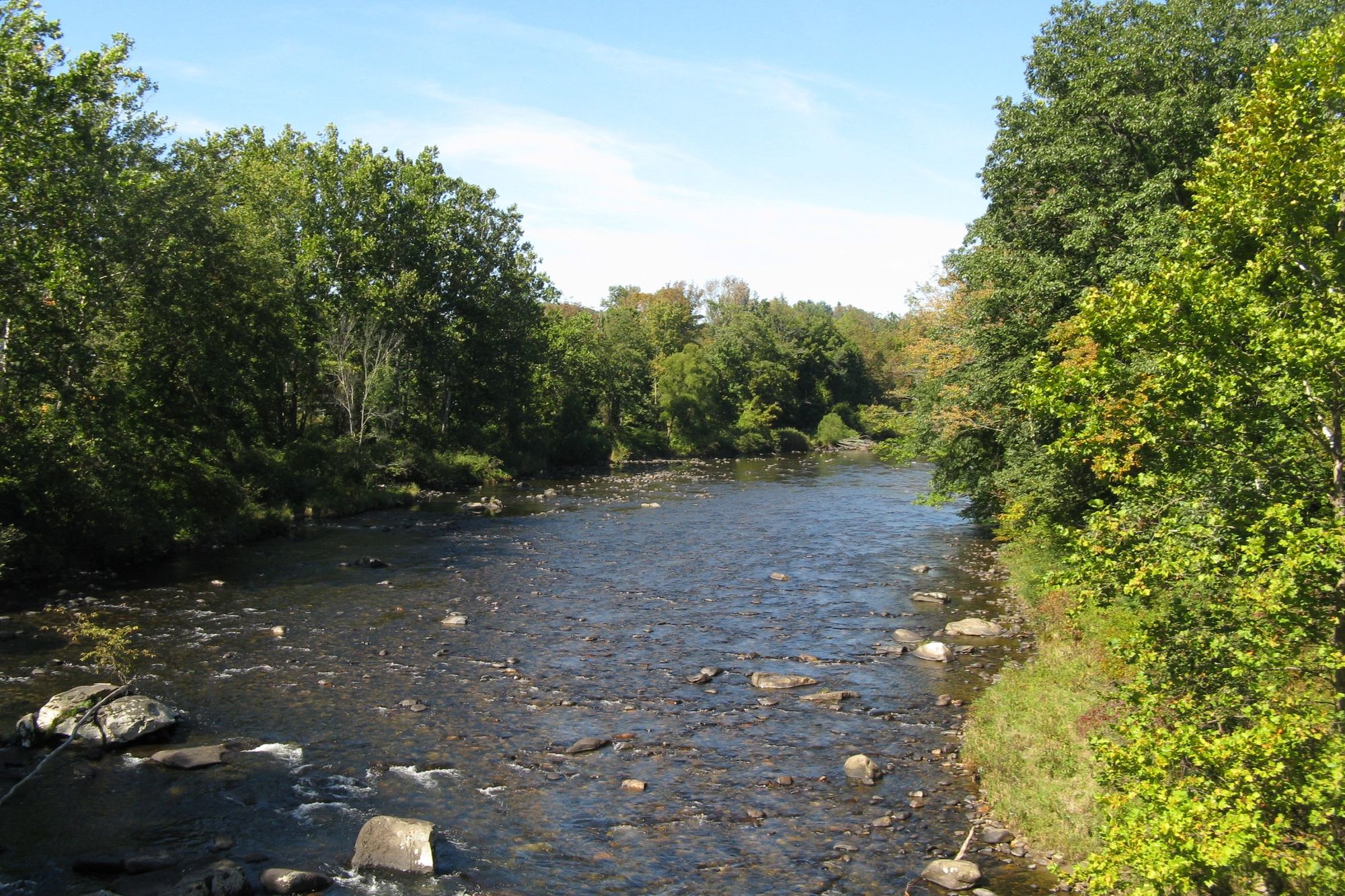
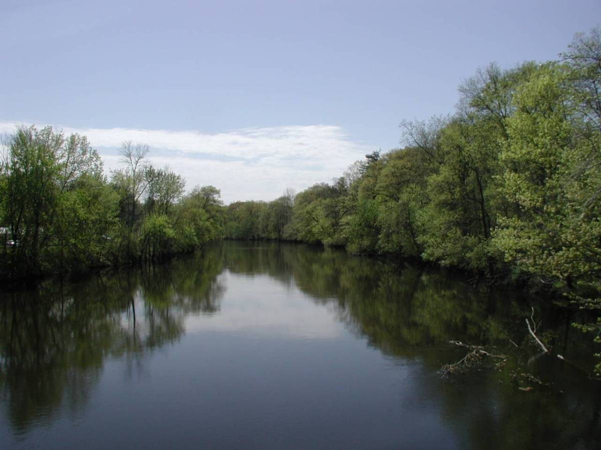
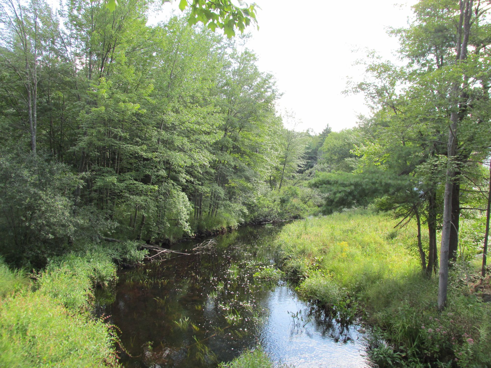
The West Branch Westfield River is a scenic and challenging waterway in western Massachusetts. Originating in the Berkshire Hills, it flows southeast for approximately 40 miles before joining the main stem of the Westfield River in Huntington. The river drains a watershed of steep, forested terrain in Berkshire and Hampshire Counties. Paddlers are drawn to the West Branch for its exciting whitewater runs and beautiful scenery.
The upper section from Becket to Chester offers a thrilling 9.5-mile Class III-IV experience with continuous technical rapids and rock-dodging. Below Chester, the river mellows slightly to Class II-III as it winds through a picturesque valley for 7.5 miles to Huntington. The 25-mile stretch from Knightville Dam to Huntington is a classic New England run with Class II-II+ rapids interspersed with calm recovery pools. While advanced skills are required for the upper reaches, intermediate paddlers can enjoy the lower sections at moderate flows. The river is typically run in spring during snowmelt and after heavy rains. Summer levels are often too low for enjoyable paddling.
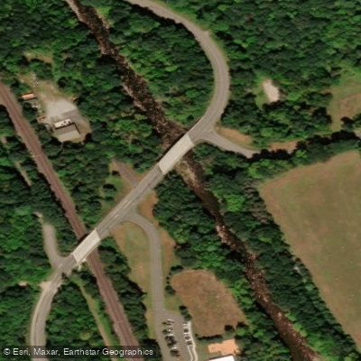
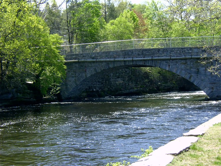
The corridor hosts diverse wildlife including black bears, white-tailed deer, and wild turkey. Anglers pursue native brook trout in the cold, clear waters. A highlight for many visitors is the series of historic Keystone Arch Bridges spanning the river, the first cluster of stone arch railroad bridges built in America.
Popular access points include Becket, Chester, and Huntington. Paddlers should be aware of several dams requiring portages. The Keystone Arch Bridge access on Herbert Cross Road in Chester provides a good launch spot when water levels are high.
The West Branch played an important role in the region's industrial development, powering mills and providing transportation. Today, it offers outstanding recreational opportunities while its upper reaches are protected as part of the National Wild and Scenic Rivers System. Safety considerations include cold water, strainers, and challenging rapids at high flows. Paddlers should scout unknown sections and wear appropriate safety gear. While primarily a day-trip destination, primitive camping may be possible on some stretches for multi-day adventures.
With its combination of exciting whitewater, pristine scenery, and historical significance, the West Branch Westfield River remains a cherished paddling destination in western Massachusetts.
Curated routes
Hand-picked by the PaddleWays team, with put-ins, take-outs, paddle times and the hazards along the way.
RouteClass III–IV
RouteClass II–III
Hazards
No hazards are marked on West Branch Westfield River yet. That is not the same as none being there: if you find one, report it for the next paddler.
From the community
Nobody has shared a trip on West Branch Westfield River yet. Paddle it, then tell the next paddler how it went.
See exactly where the public can get on and off the river. Launch points and boat ramps are paired with PaddleWays' public land data so you know where you can legally land.
Public shoreline
28%of the river's shoreline is public
Most of the riverbank is private. Launch, land and camp only at public access points.
Flows, weather and a route-by-route verdict, so you know which stretch of the West Branch Westfield River is worth paddling today.
Live flows, marked hazards and fresh trip reports from paddlers who were just on the water, all in one place.





Every user gets free access to launch points, boat ramps, and public property parcels.
Loading popular cities...
PaddleWays gives you everything you need to plan smarter, paddle better, and own every trip from first launch to takeout.